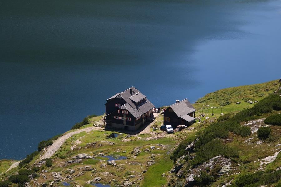
Six days. Five huts. And beneath your feet always the same limestone holding together the largest mountain range of the Northern Limestone Alps. Karwendel Höhenweg pulls you across Naturpark Karwendel, at 739 km², Austria's largest nature reserve, protected since 1928 and one of Europe's oldest. The name says it plainly: it is named directly after the range it traverses. And this is no trophy trek. It is a ridge that demands every muscle and your mental composure.
The official route runs from Reith bei Seefeld to Scharnitz, from the Seefeld plateau across the southern Karwendel. Six stages, five high alpine huts. And the Alpenverein puts it bluntly: most sections are marked black, so you belong here only if you have a sure foot, a head without vertigo, and fitness for multiple days of sustained climbing. Over the entire route you gain roughly 4,400 metres. This is not a meadow walk. It is a limestone carousel of cirques, high passes, and exposed traverses where the wind steals your hat before your breath.
The Karwendel wears two faces and the Höhenweg shows you both. One side is wild: primeval forest, rushing rivers, cirques where only wind and falling stones make sound. The other side is Innsbruck below you, from the Goetheweg ridge above the city's northern shoulder you look down into the streets of Tyrol's capital at 2,000 metres elevation. This leap between solitude and civilisation repeats throughout the route. One hour alone with chamois, the next watching a cable car ferry tourists up from downtown.
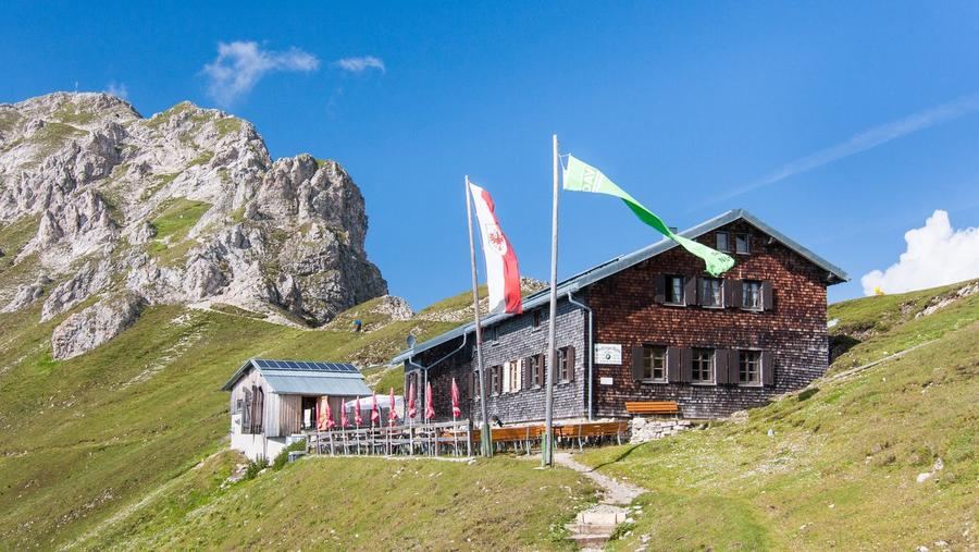
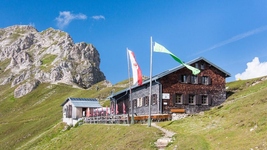
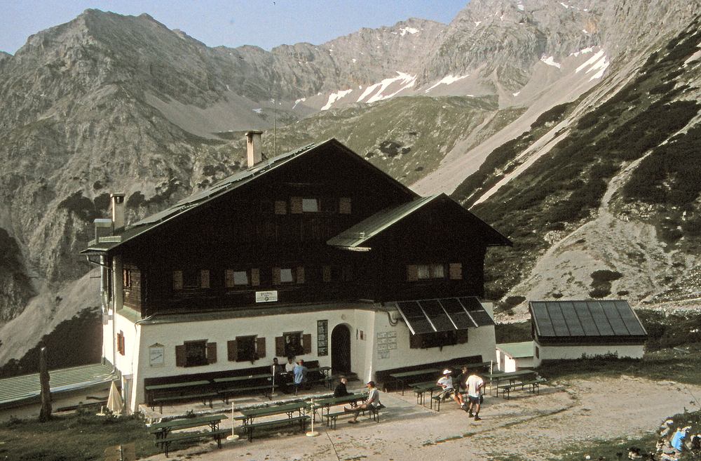
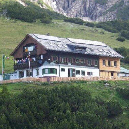
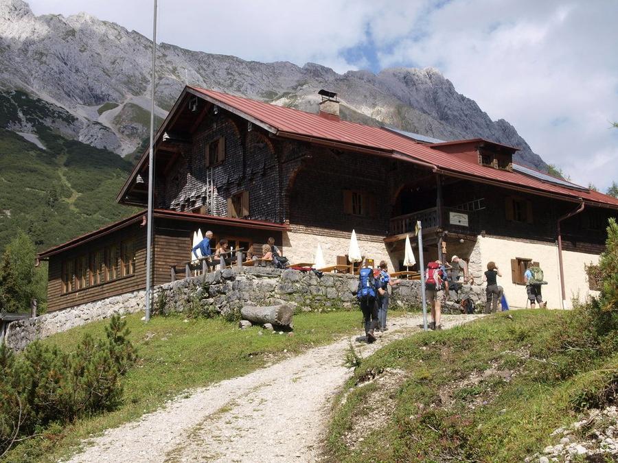
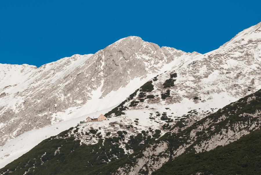
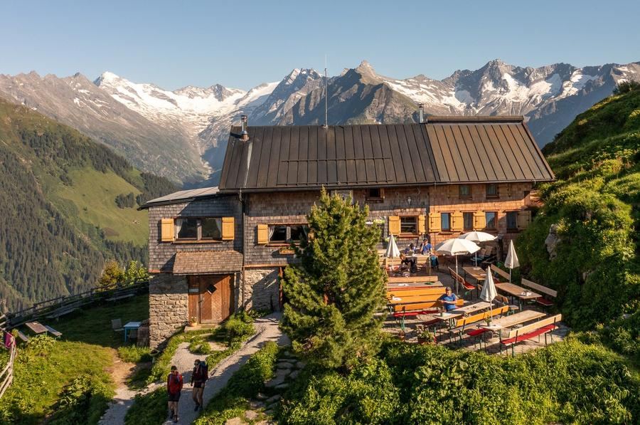
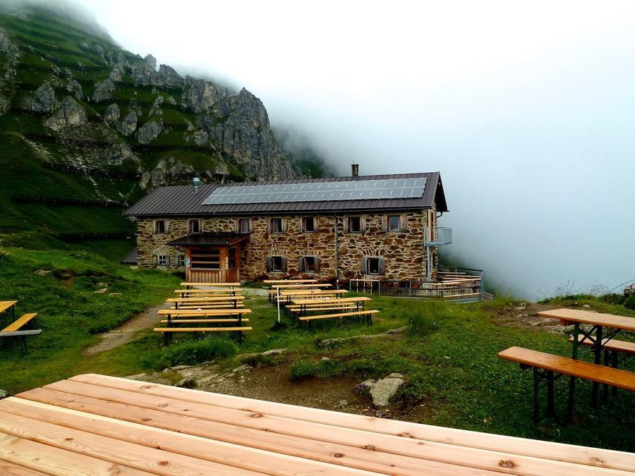
Day one climbs to Nördlinger Hütte (2,238 m), note: it is closed from September 2026 through early season 2028 for reconstruction, so plan alternate lodging accordingly. Day two descends and re-climbs to Solsteinhaus. Day three, the longest, traverses the mentioned Goetheweg to Pfeishütte: the hut has been historically protected since 2016 and shelters one of the Karwendel's largest populations of alpine chough. Stage four crosses Stempeljoch to Bettelwurfhütte, built in 1894, one of the oldest and highest-altitude huts in the entire range. Five crosses Lafatscher Joch to Hallerangerhaus; six descends to Scharnitz.
Who is this for? Experienced high alpine hikers confident on exposed terrain. Not weekend strollers and certainly not on your first ridge in a lifetime. The best window is July through September, earlier, snow fills the steep gullies; later, early winter threatens. And those with sharp eyes may spot a golden eagle soaring above the ridges; the Karwendel hosts an entire population, as does the mighty Großer Ahornboden, Europe's largest maple forest.
Huts on the route belong to the Austrian and German Alpenvereins, reserve them well ahead, weekends and peak season fill fast and Alpenverein members get discounts on beds. Planning, current hut status, and contact details appear on the official route website karwendel-hoehenweg.at. Six days, five huts, one limestone ridge, and the question whether your calves can answer. You'll know the answer somewhere above Stempeljoch.
Pick a start date, for every night on the route you instantly see the free beds and book directly through the official Alpenverein system.




 AT
AT DE
DE CH
CH EN
EN FR
FR IT
IT NL
NL SL
SL SK
SK CZ
CZ