Hundred-year-old barbed wire. Trenches carved into rock. Caverns that exhale cold even in July. And you walk right along the line where the Austro-Hungarian and Italian armies ground each other down for two years.
Welcome to Karnischer Höhenweg. Trail number 403, nicknamed Friedensweg, the Peace Trail. 156 km along the main ridge of the Carnian Alps, precisely along the Austro-Italian border, from Sillian in East Tyrol down into the valley at Arnbach. This isn't a random trail. It's the former mountain front from 1915 to 1917, which nobody wanted after the war, and since the 1970s, climbers have built it into the most powerful long-distance ridge trail the Alps have seen, one that remembers why people stopped shooting in the mountains.
Numbers, so you know what you're getting into. 156 km, 8500 m of elevation gain, 8 to 11 days. Difficulty: hard, and it means it: exposed ridges, scree passes, short rope-secured sections, places where you can't be afraid of height or your own step. Sure-footedness and a firm head aren't recommendations, they're your ticket. Anyone who trembles on loose scree should start somewhere else.
The terrain reads war. The western section beyond Sillian is the wilder, rock, snow into mid-summer, a ridge like a blade. The further east past Plöckenpass and Nassfeld, the softer hills and blooming pastures. But the strongest thing is still under your feet: trenches, barbed entanglements, and carved positions that have lain here more than a hundred years, as if the front left yesterday.
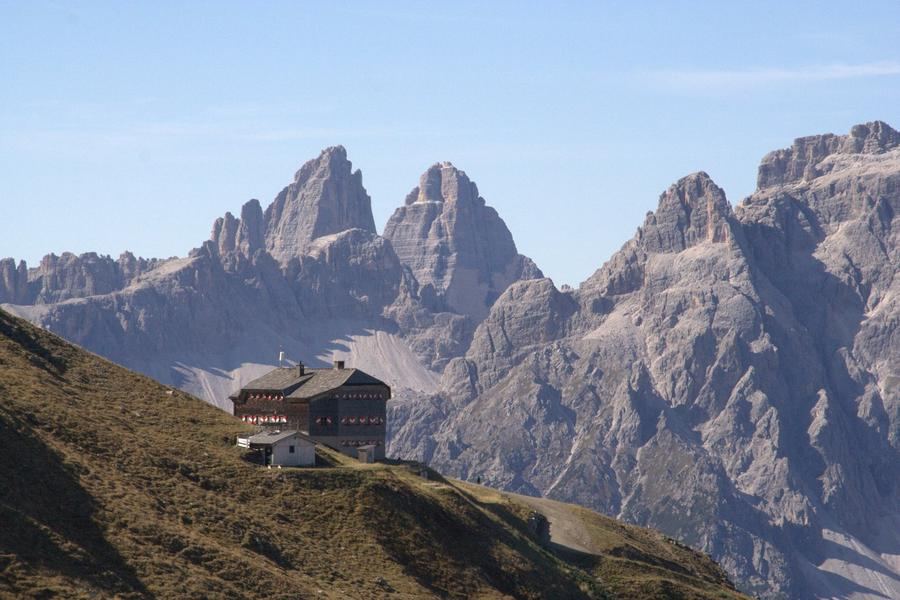
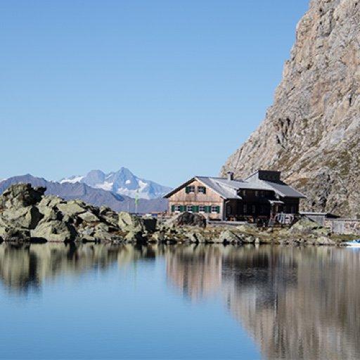
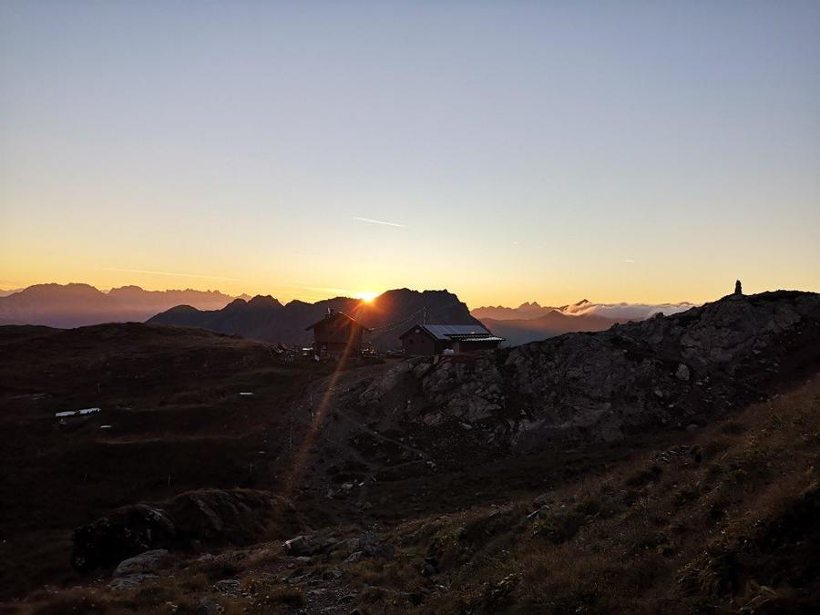
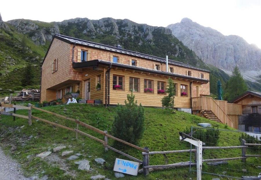
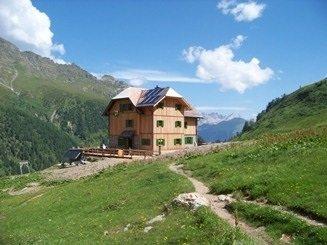
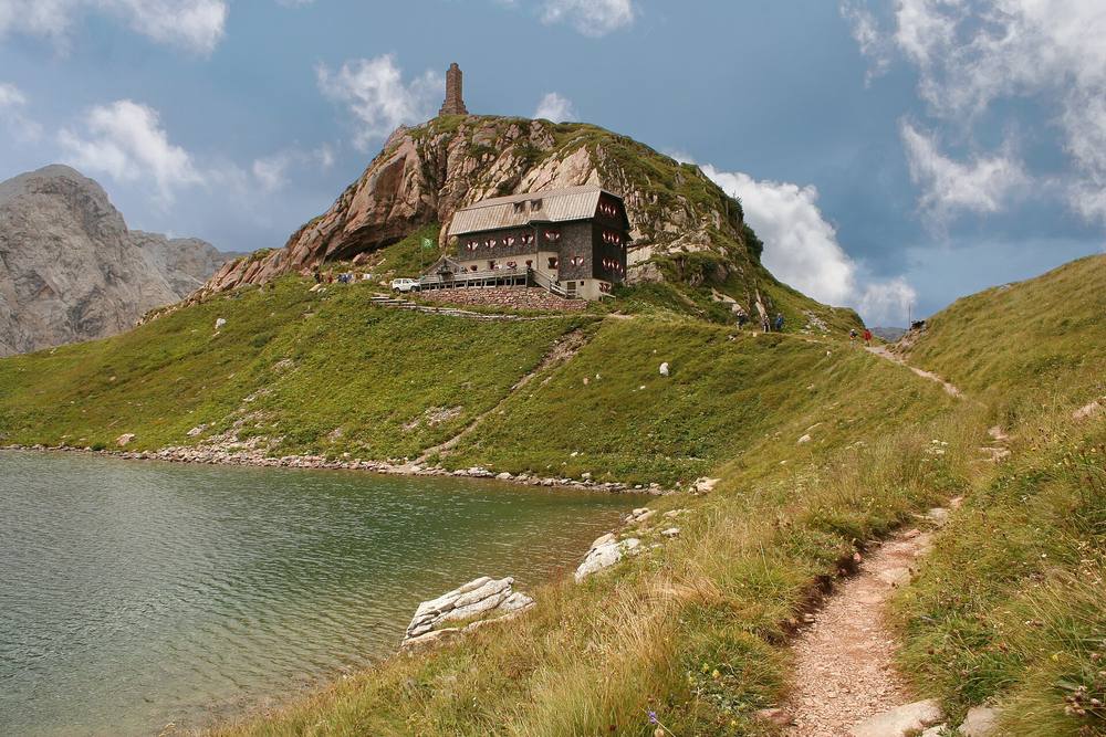
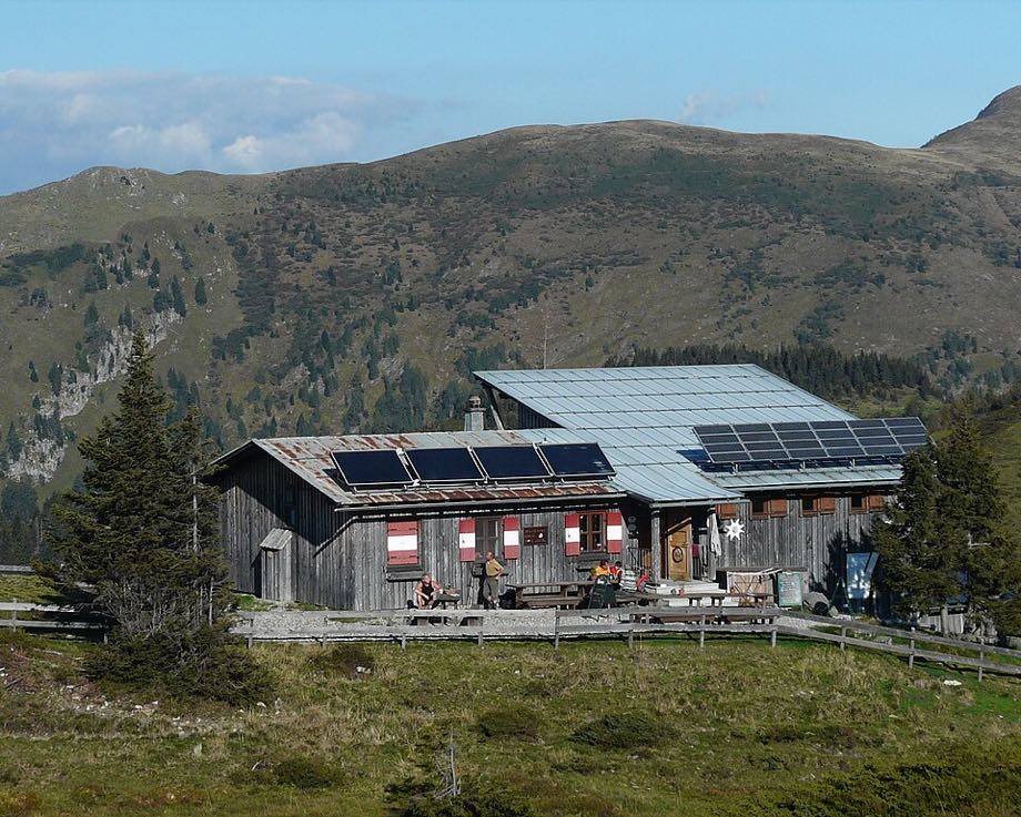
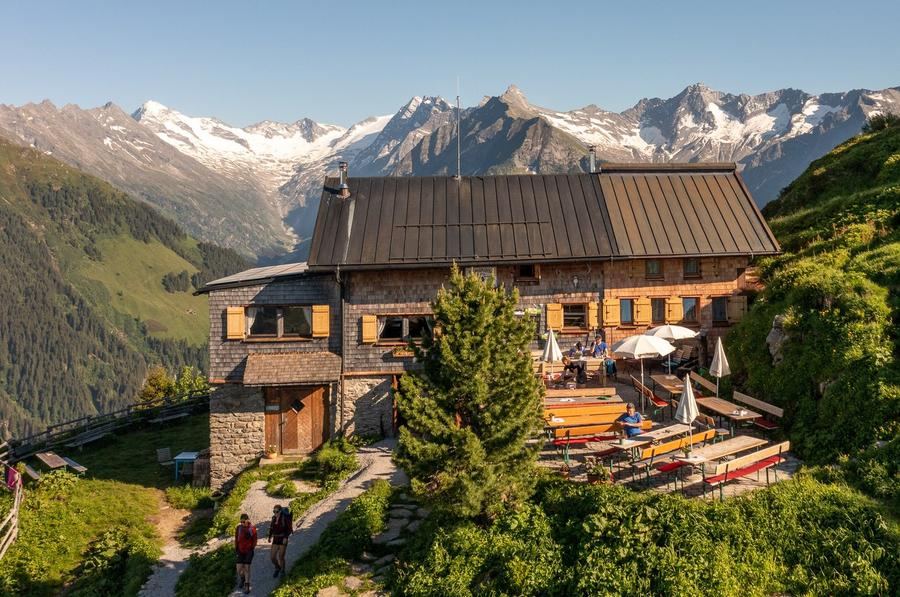
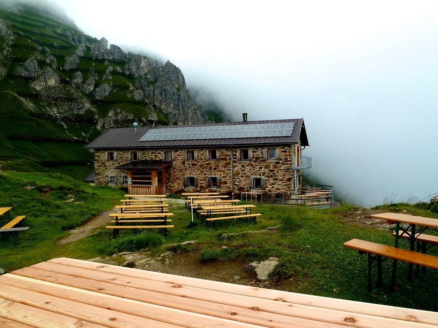
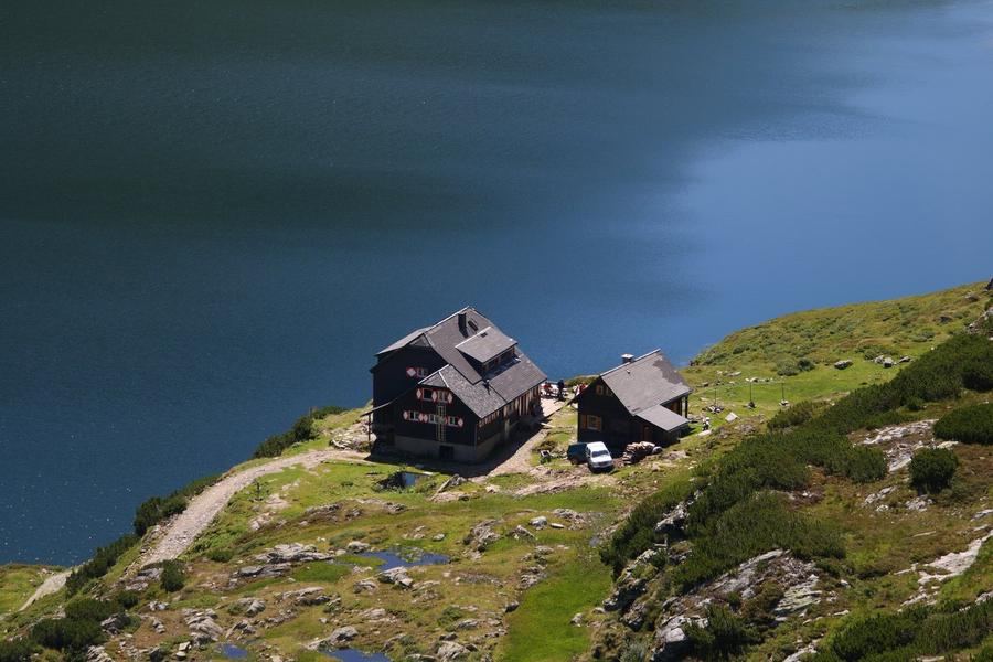
Stages and huts, real names, no fiction. You start at Sillianer Hütte (2447 m), the first night already high. Second night Obstansersee-Hütte above the lake of the same name. The third stop is a gem: Filmoor-Standschützen-Hütte at 2350 m, one of the highest huts on the trail, built in 1977 and named after the Standschützen, the home guard that fought here on the ridge. Further on Porze-Hütte, then Hochweißstein-Haus. The sixth night belongs to the most famous hut on the entire route, Wolayersee-Hütte (1960 m) sits at a glacier lake of the same name, right in the war bowl; all around rusty positions still stand, and there's a war memorial. Those with the skin of a walrus can swim in the lake. The seventh stage leads to Zollnersee-Hütte, and from there the ridge slowly bows towards civilisation.
And the views? Over it all rises Monte Coglians, in German Hohe Warte, 2780 m, the highest peak of the Carnian Alps. On one of the border passes hangs the Peace Bell (Friedensglocke), which rings across both sides of the border, across both languages. Clear meaning of the entire path in one tone.
For whom. For experienced ridge hikers who can manage multi-day hut-to-hut trekking with everything it entails: carrying your gear, sleeping at huts, hiking in bad weather. It's not a family stroll and not a via ferrata for adrenaline, it's honest high-altitude hiking with history under your sole.
When to go. The window is narrow: from mid-July through late September, depending on snow. Before that, fields linger in the passes; after, the first snowfall looms. Outside this window, the huts are closed and the ridge is merciless.
How to book. The huts fall under the Alpenverein, and they fill during peak season. Book ahead, operators ask for minimum a week's notice; some huts even have online booking, others just need a phone call. Alpenverein membership gets you a room rate discount and in a pinch opens doors. Plan stages according to your fitness, not speed, the ridge can wait.
156 km along the line where a few metres of stone once decided lives. Today you walk it, with a pack and a peace bell in your pack. Will you go?
Pick a start date, for every night on the route you instantly see the free beds and book directly through the official Alpenverein system.




 AT
AT DE
DE CH
CH EN
EN FR
FR IT
IT NL
NL SL
SL SK
SK CZ
CZ