It begins in Allgäu at 103 metres, still almost civilisation, and ends in Meran at 325 metres amid palms and vineyards of South Tyrol. Between them lie 140 kilometres, five mountain ranges, and six valleys, and one small dead man five thousand years old.
The E5 Oberstdorf–Meran is no recent discovery. It is a classic. The most famous Alps crossing on foot, the heart of the European long-distance trail E5, which in its full length runs from Atlantic Brittany to Verona. You will take its best section: the ridges of the Allgäu, Lechtal, and Ötztal Alps, from Germany through Austria to Italy. Over six to eight days. On foot, hut to hut.
Let us be straightforward about who this suits. This is a demanding trek, not a stroll. Daily you will ascend 800 to 1,200 metres of elevation and walk 10 to 20 kilometres, collectively around ten thousand metres of climbing. That means legs like concrete and an evening at a hut like salvation. You do not need rope or crampons (glacier sections follow trodden paths or are bypassed), but you do need fitness, a sure step on scree, and a head that won't panic when mist rises in a pass.
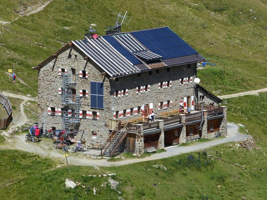
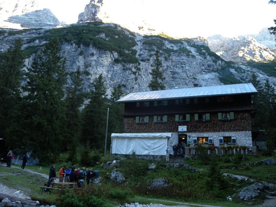
Terrain changes like moods in the mountains. From Oberstdorf you climb through Mädelejoch to Kemptner Hütte (1,846 m), first night under the Allgäu peaks. Day two heads to Memminger Hütte (2,242 m), and the final ascent past the cable-lift station is the legendary eight-hundred-metre grind after which the hut feels like an oasis. Via the wild Seescharte the route drops into the Inn valley, where you sleep low in Zams, the only night when you can have a beer in civilisation.
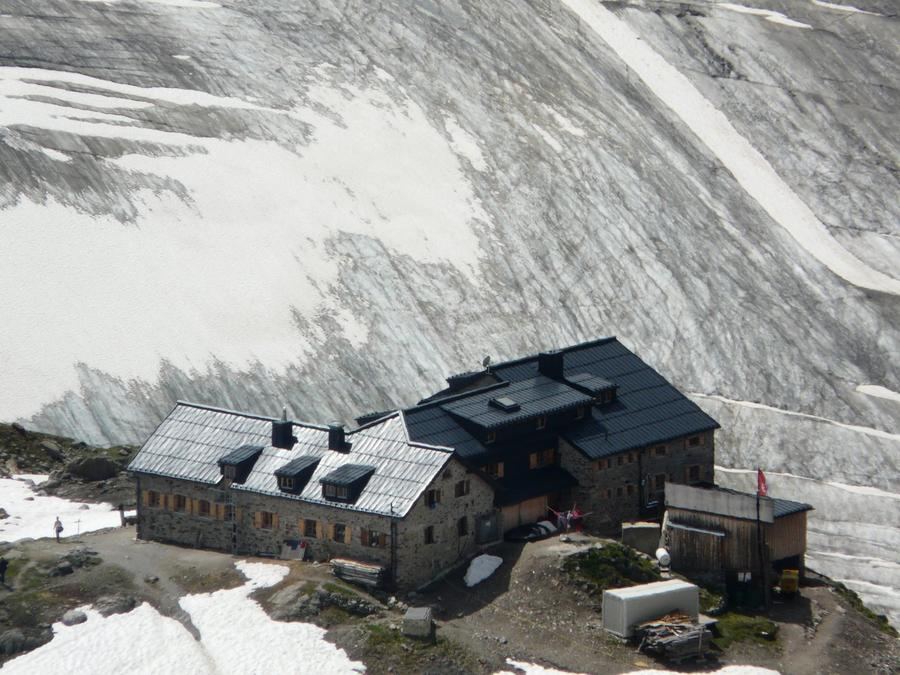
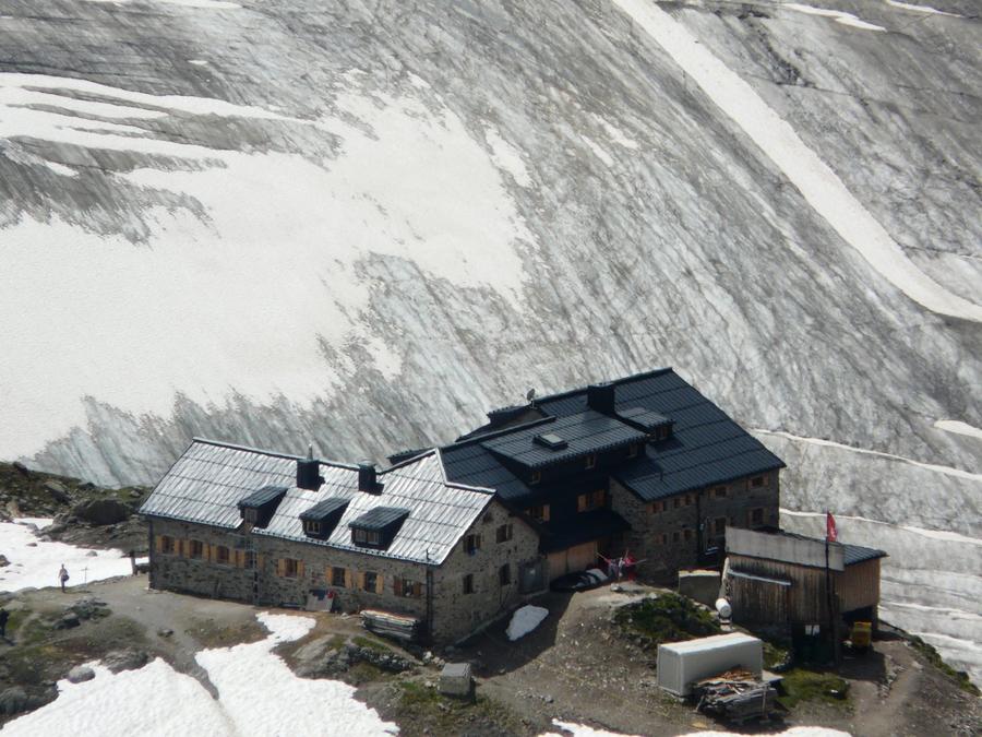
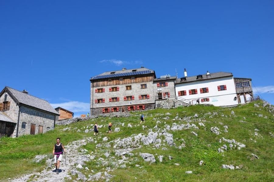
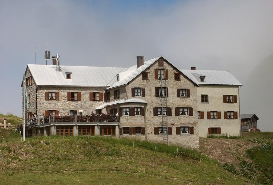
Then comes the climax. From the valley up to Braunschweiger Hütte (2,759 m), the highest hut on the entire E5, built as far back as 1892. You sit on the terrace; below you spreads a glacier lobe of Mittelbergferner, and above it towers Wildspitze (3,768 m), Austria's second-highest peak. From here, the next day brings the hardest stage: steep ascent to Pitztaler Jöchl (2,996 m), the highest point of the entire crossing. (If it closes due to rockfall, you bypass via Rettenbachjoch.) Down to Venta and Martin-Busch-Hütte (2,501 m).
And the last day is what you will remember this route for. You climb to Niederjoch and Similaunhütte (3,019 m), the highest you will go on the entire trek. Nearby, at 3,210 metres at Tisenjoch below Similaun, on September 19, 1991, two hikers found a man in a melting glacier. Ötzi. A glacier mummy about 5,300 years old, the oldest European whose face you can see. You walk past the place where he lay. Then it is just down to Vernagt lake and a long descent through Schnalstal into warm Meran, where your first shower in a week awaits amid the vineyards.
Best time? Mid-July through late September. Earlier, high passes still hold snow; later, huts close. Outside this window you go at your own risk.
Reservation is now essential, not optional. E5 huts (Kemptner, Memminger, Braunschweiger, Martin-Busch, Similaun) belong to sections of the German and Austrian alpine clubs, Alpenverein, and during main season they fill weeks in advance. Book online via the Alpenverein reservation system or directly by phone at the hut. Do not risk finding no bed after an eight-hundred-metre climb. And arrange your return, shuttles run back from Meran to Oberstdorf, and these too must be booked ahead.
140 kilometres. Five mountain ranges. One five-thousand-year-old guide who crossed it before you. The question is not whether, but when you will go.
Pick a start date, for every night on the route you instantly see the free beds and book directly through the official Alpenverein system.




 AT
AT DE
DE CH
CH EN
EN FR
FR IT
IT NL
NL SL
SL SK
SK CZ
CZ