A fifteen-metre iron ladder bolted to sheer rock at two and a half thousand metres. Air beneath your feet. That's the photo everyone knows from guidebooks to the Allgäu Alps.
And that ladder is just one surprise.
Heilbronner Weg is the oldest and most famous rock trail in the Northern Limestone Alps. They opened it in July 1899, four years carving it into the ridge and the 4,500-mark budget ballooned to nearly double due to difficult blasting. The Heilbronn section of Alpenverein financed and named it, and they run it to this day. Over one hundred twenty years on the ridge and still one of Germany's finest.
Why do it? Because in three days you'll pass through the best the Allgäu has to offer, and leave with calves that won't forget. Total: 45 km and 2,900 metres of climbing.
The ridge itself measures 3,027 metres and stays between 2,432 and 2,615 metres high. It winds through Bockkarkopf (2,608 m), Wilder Mann (2,577 m) and Steinschartenkopf (2,615 m). Four times you cross the German-Austrian border without touching your passport. It's not a full via ferrata, it's a secured high-alpine trail: steel cables, steps, ladders, exposed traverses above drops. Without solid footing, a steady head and alpine experience, don't climb.
Anyone with spare energy can branch off at Kleine Steinscharte to Hohes Licht (2,651 m), the highest peak reachable from the route, or the twin horn Mädelegabel (2,645 m).
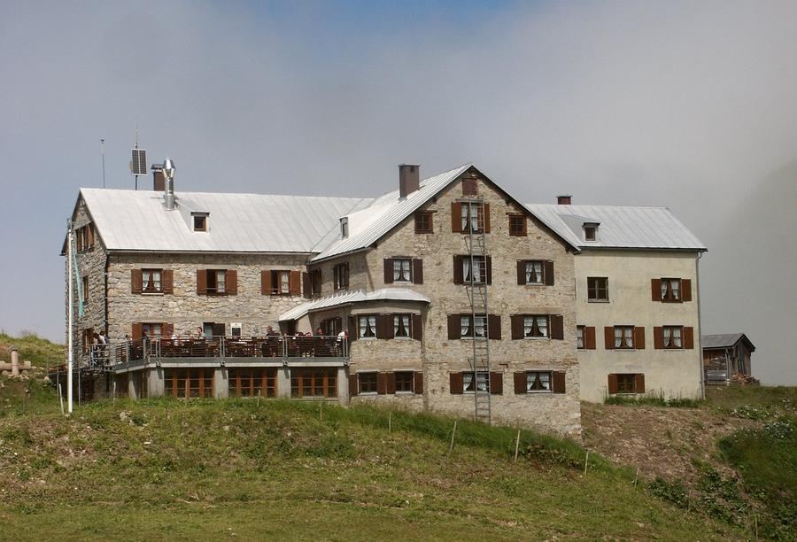
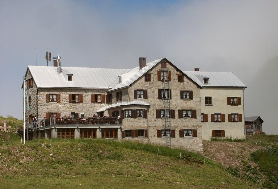
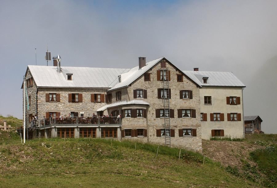
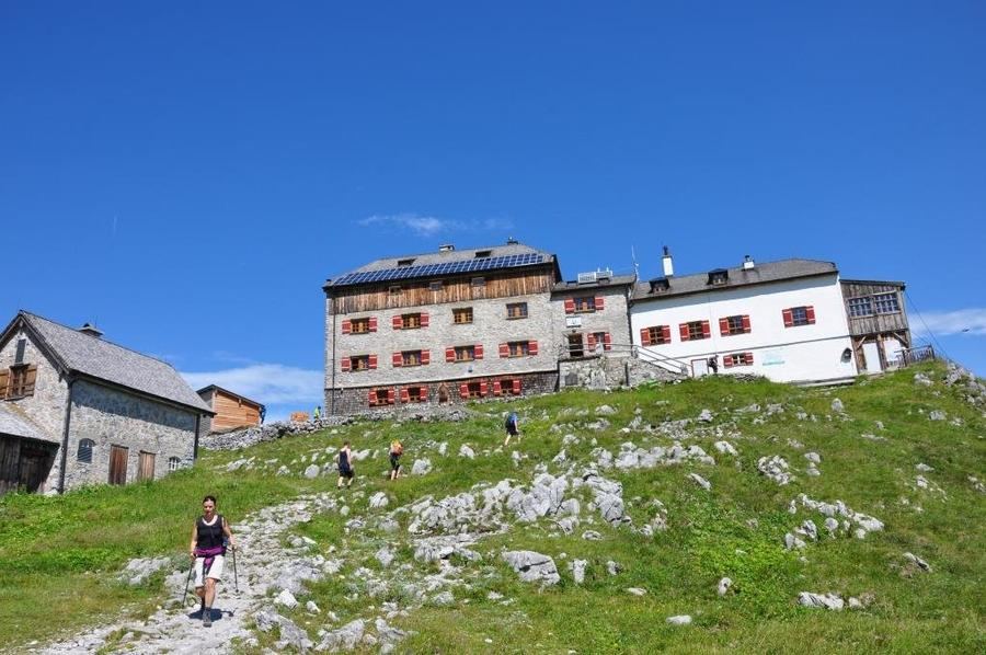
Stages and huts. Day one: from Birgsau through forest and alpine meadows to Rappenseehütte (2,091 m). A short warm-up for what's coming. And no ordinary hut, Rappenseehütte is the largest hut in the entire German Alpenverein. 304 beds (115 beds, 189 bunk spaces) at Kleine and Große Rappensee. The record? 681 guests one single night, September 19, 1970.
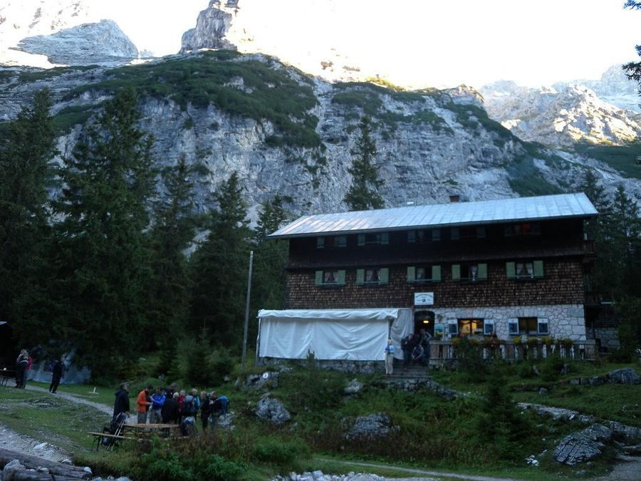
Day two is the royal stage. The crossing of the Heilbronner ridge from Rappenseehütte to Kemptner Hütte, roughly six hours of pure time over cables, ladders and that famous ladder beneath Steinschartenkopf. Kemptner Hütte (1,846 m) has stood since 1891 between peaks Krottenkopf and Mädelegabel. It's Allgäu's second-largest hut and the first night stop on the E5 long-distance route from Oberstdorf to Merano, here hikers leave Germany and descend via Mädelejoch into Austria.
Day three settles the debt with gravity: descent through the Sperrbachtobel gorge back to Oberstdorf (810 m). No technique, just knees and a valley slowly opening.
Who's it for? For experienced hikers with controlled legs and a head that doesn't spin over empty air. Family stroll this isn't. But if you've done a ridge like this before, you know why you come back.
When to go? Kemptner Hütte is open roughly mid-June through mid-October. The ridge holds snow late into summer though, peak window is July through September. Always check current conditions with the huts before going, because residual firn on traverses can slow the trail considerably.
How to book? Through Alpenverein. Both huts, Rappenseehütte and Kemptner Hütte, take online reservations in advance and weekends fill fast in season. Don't count on finding a spot on the day.
Heilbronner Weg won't be easy. But that ladder at two and a half thousand metres you walk only once for the first time, and then you know why everyone photographs it.
Pick a start date, for every night on the route you instantly see the free beds and book directly through the official Alpenverein system.




 AT
AT DE
DE CH
CH EN
EN FR
FR IT
IT NL
NL SL
SL SK
SK CZ
CZ