Five days. Five huts. And barely a moment when your legs get rest.
Lechtaler Durchquerung isn't an outing you pack with one snack and good vibes. It's a traverse of the entire Lechtal Alps ridge, 60 km, on which you gain 5500 m, and all of it stays high, where passes are counted in the dozens and flatland rarer than cell service. The classic Lechtaler Höhenweg holds altitude between 2000 and 2500 m and is part of both the North Alpine long-distance route 01 and the European E4. You'll take the juiciest five-day slice of it: from Lech am Arlberg down to Höfen above Reutte.
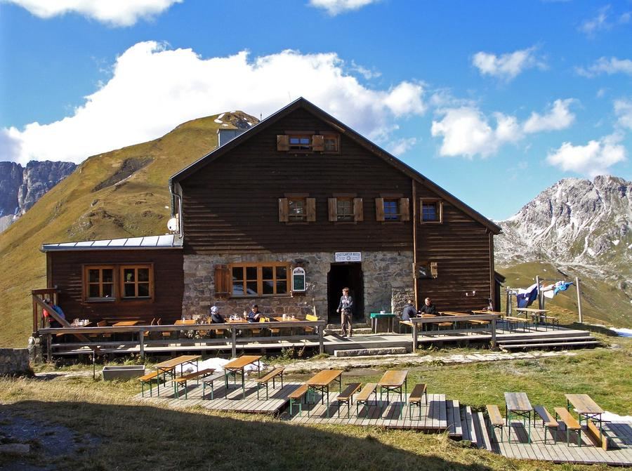
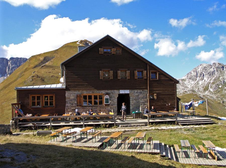
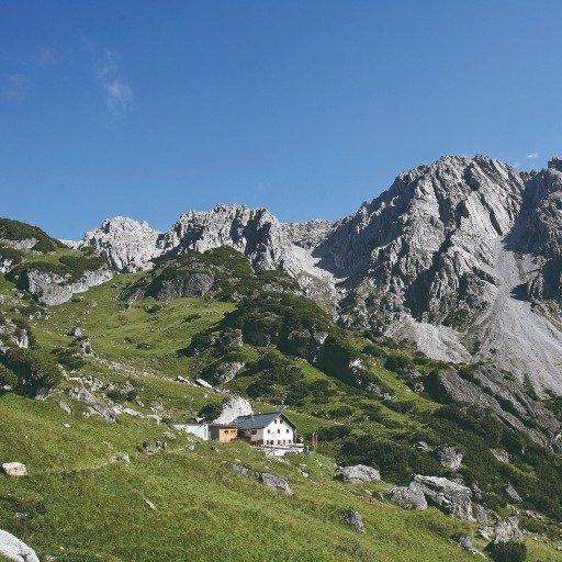
The start has a trick. A cable car from Lech will haul you up the first bump, and before you can say this is cheating, you're standing below Stuttgarter Hütte (2310 m). The hut of the Swabians section of the German Alpenverein, built in 1910, sits a stone's throw below Krabachjoch right on the border of Tyrol and Vorarlberg. All around: double-thousand peaks over 2600 m, Roggspitze (2747 m), Valluga (2809 m). Remember what comfort feels like. The next few days you'll just recall it.
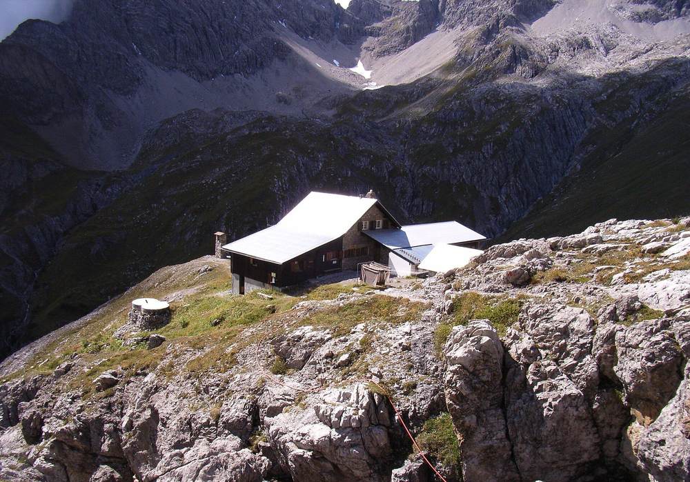
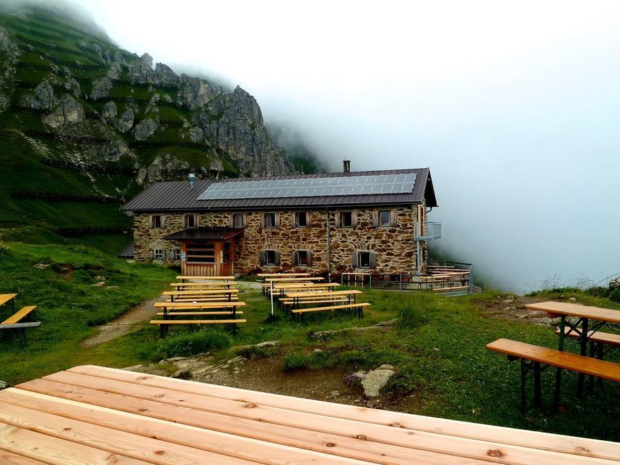
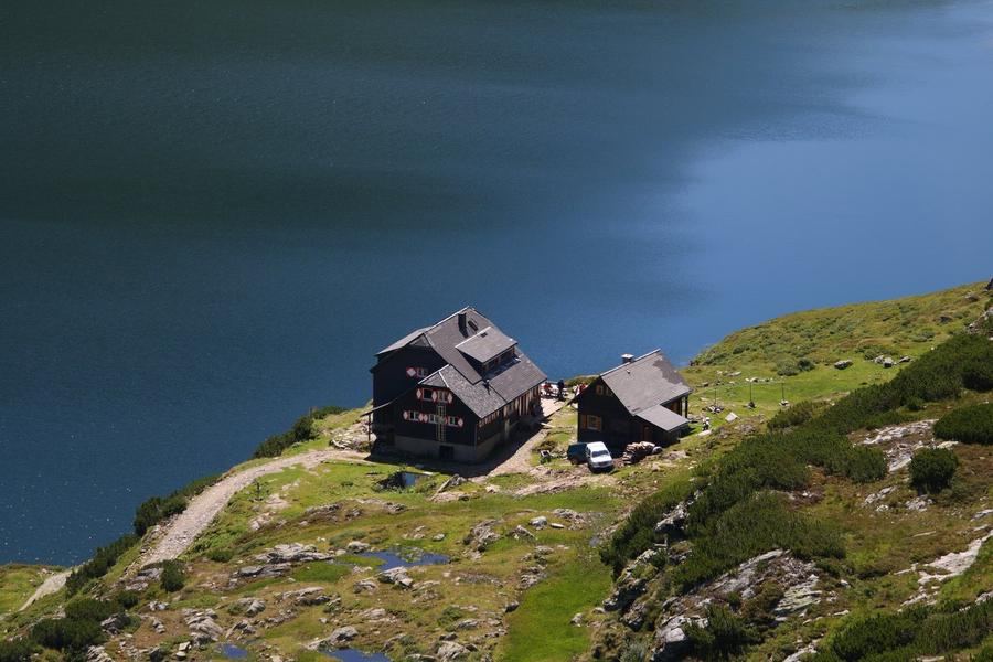
The second day leads via Seescharte (2599 m) and below Großbergspitze (2657 m) to Württembergerhaus (2220 m). The terrain toughens. And the third day brings the place you'll tell stories about: Roßkarscharte (2450 m) is rope-secured. Not a via ferrata decked out from head to toe in protection, but a section where your hands do what your eyes don't want to see. Behind it waits Steinseehütte (2061 m) above Zams, a hut that takes its name from the glacier-blue lake Steinsee a half hour below it, with a rocky amphitheatre of Parzinnspitze, Dremelspitze, and Steinkarspitze around it. Here the Lechtal ridge puts on a show in full grandeur: bare granite, where the crown of the entire range, Parseierspitze (3036 m), the only three-thousand-metre peak in the Lechtals, is never far away.
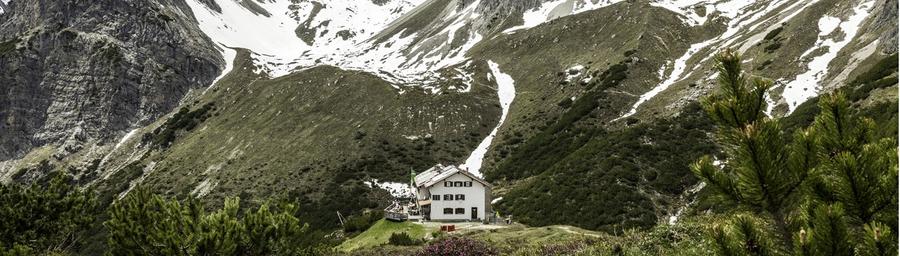
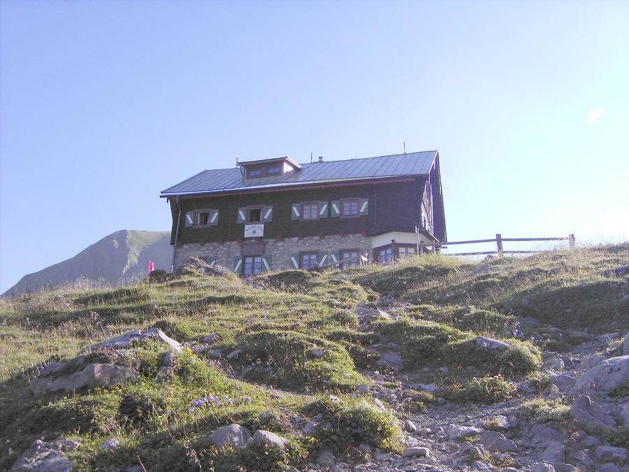
The fourth day brings descent and ascent to Muttekopfhütte (1934 m) beneath the majestic Muttekopf (2774 m), a peak that rises above Imst like a split crown. The fifth day brings the final push via Anhalter Hütte (2038 m) above the meadows of Obere Pötzigalp, and then just downhill into Höfen. Done. Your legs will thank you and curse you at once.
For whom: for seasoned alpinists. Not for enthusiasts after their first trek. This route wants a sure foot, a head that doesn't spin over sheer walls, and the fitness to handle daily stages that can run nine hours and over 1500 m of climbing. Those who have this get one of the cleanest ridge routes of the Eastern Alps, without crowds, without mid-route lift stations, just rock, passes, and huts as oases.
When to go: the season is short, roughly late June through mid-September, when huts are open and snow's gone from the passes. Earlier or later and you'll have trouble on the secured sections. Mountain weather can flip in an hour, plan a reserve day and monitor the forecast like a hawk.
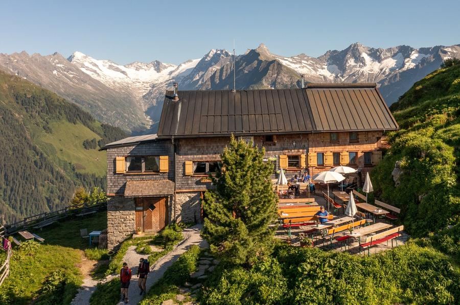
How to book: the huts are managed by Alpenverein sections (Stuttgarter Hütte, Steinseehütte, Muttekopfhütte, Anhalter Hütte, and others). Reserve beds in advance through the official Alpenverein reservation system or directly at the hut, throughout the summer they're full and banking on an open bed is a gamble. Alpenverein membership also pays off across all these consecutive huts: discount on lodging and meals.
Five days, five huts, one ridge. And on the final evening in Höfen you'll look back up at Rüfikopf, where five days earlier the cable car set you down, and you won't believe you covered that distance on foot.
Pick a start date, for every night on the route you instantly see the free beds and book directly through the official Alpenverein system.




 AT
AT DE
DE CH
CH EN
EN FR
FR IT
IT NL
NL SL
SL SK
SK CZ
CZ