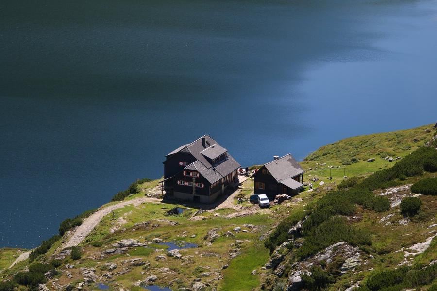
Imagine a plateau at 2300 metres, where the ice age scattered over thirty lakes like shattered mirror shards. Moss, lichen, bare rock, water, and not a tree anywhere. This is Klafferkessel and it's just one day of the Schladminger Tauern Höhenweg.
The Low Tatras are among the wettest corners of the Alps: over a thousand springs, around three hundred mountain lakes, and a hundred waterfalls. This ridge trail takes you through them at your own pace. 76 kilometres, roughly 7100 metres of elevation gain, five to seven days from Hochwurzen to St. Nikolai im Sölktal. This isn't a walk on an educational trail. It's a demanding Alpine trek where almost every day you'll climb and descend around a thousand metres of elevation.
Why this one? Because you get the essence of the High Tatras without glacier mechanics and without the crowds of the High Tatras a bit further on. The terrain shifts like moods in the weather. Expansive grassy ridges. Scree passes where your foot sinks into gravel. Switchbacks carved into walls. And then the lakes. Always lakes.
The trail takes you across a series of passes with names that sound like incantations: Kruckeckscharte, Trockenbrotscharte, Gollingscharte at 2326 metres. The highest point is Greifenberg (2618 m), and it's no accident that it's considered one of the best viewpoints in the entire Low Tatras. From here you look straight down into Klafferkessel, that lake plateau, a relic of the last ice age.
And one more peak will watch your back the entire time. Hochgolling (2862 m), the highest mountain of the Low Tatras, nicknamed the "king of Schladminger Tauern," with its north wall dropping 1200 metres. The Höhenweg doesn't summit it, it passes beneath it via Gollingscharte, but from Gollinghütte you'll see it towering in a natural amphitheatre like a throne.
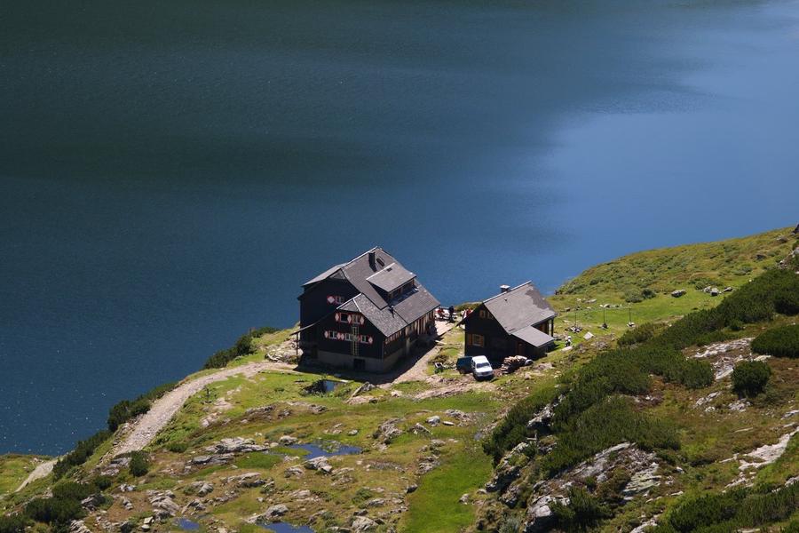
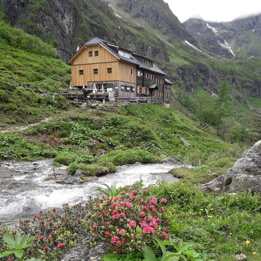
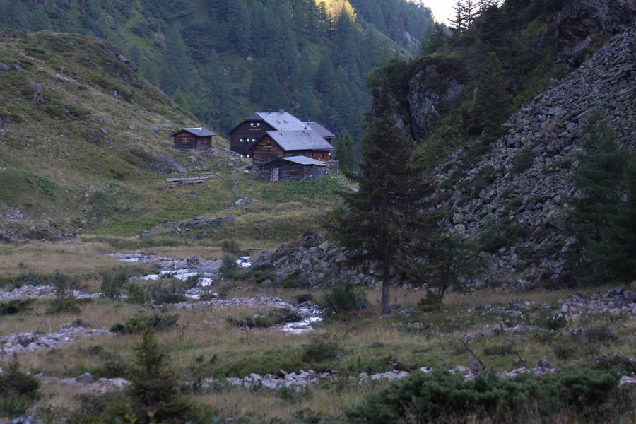
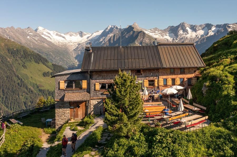
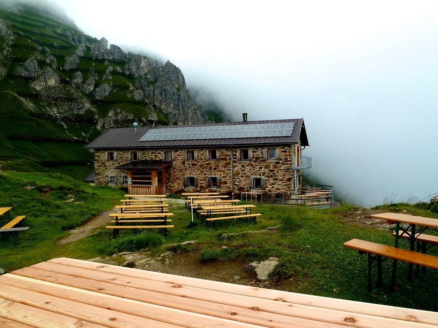
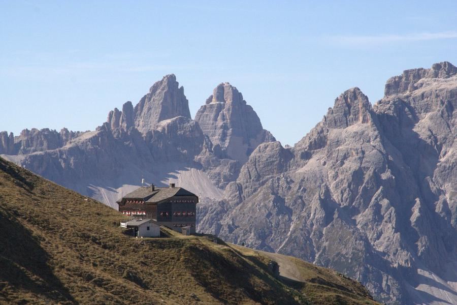
Stages and huts are the backbone of the whole thing. The first day you climb from Hochwurzen to the pair of Giglachseen lakes, where you spend the night at Ignaz-Mattis-Hütte (1986 m) above the lower lake, or optionally at the neighbouring Giglachseehütte. The second day descends in switchbacks via Kruckeckscharte to Keinprechthütte (1872 m). The third day leads via Gollingscharte down to Gollinghütte (1641 m), the one with a view of the king. The fourth day is the climax: up to Greifenberg, across the Klafferkessel plateau with more than thirty lakes, and down via the steep Lämmerkare to Preintalerhütte (1656 m). Those continuing on the seven-day variant will reach Sölktal, with an optional stop at Hans-Wödl-Hütte.
For whom is this? For someone with a sure step, a head that doesn't spin from exposure, and legs that can handle a thousand metres of elevation daily. The Austrian quality mark isn't there for show on this trail. Alpine experience is valuable. It's suitable from roughly age fifteen. Anyone looking for a comfortable holiday with a lift should stay down in Schladming. Anyone wanting a ridge will get a ridge.
When to go? In summer, when the mountain huts are open and snowfields in the passes have at least somewhat retreated, snow lingers long in the scree gullies into the season. Ignaz-Mattis, Keinprecht, Golling, and Preintaler are Alpenverein huts, so you book through the Alpenverein reservation system (alpsonline). Beds are finite, demand is high. If you leave it to the last minute, you might sleep at a lake on your sleeping pad.
Five huts, five passes, over thirty lakes, and one king breathing down your neck the entire way. The ice age left here a map of water and stone. It's yours to cross.
Pick a start date, for every night on the route you instantly see the free beds and book directly through the official Alpenverein system.




 AT
AT DE
DE CH
CH EN
EN FR
FR IT
IT NL
NL SL
SL SK
SK CZ
CZ