🇦🇹Austria · Gesäuse (Ennstal Alps)

Gesäuse Hüttenrunde

Multi-day hut-to-hut trek across Alpenverein huts
Gesäuse Hüttenrunde
Moderate Traverse
Oswald Engelhardt · CC BY-SA 3.0
39 km
Distance
+2,791 m
Ascent
3 days
Duration
3
Huts
Best time: July to September (huts open, trails snow-free)
Check hut availability →
Download GPX ↓

About the route

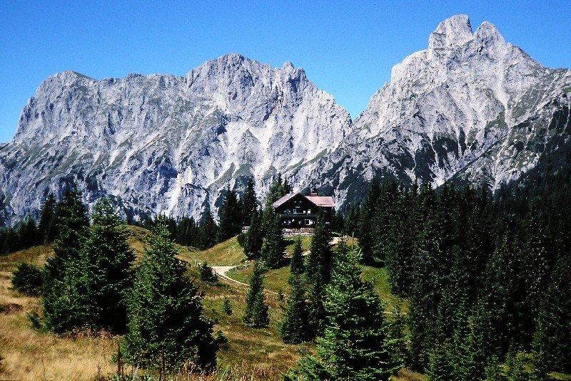
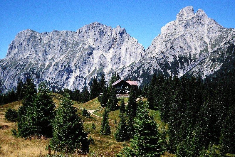
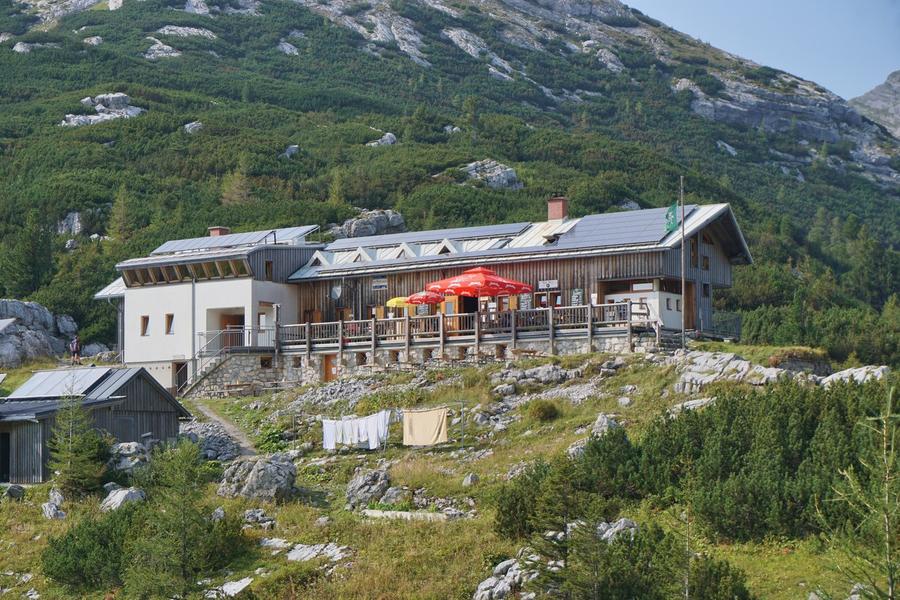
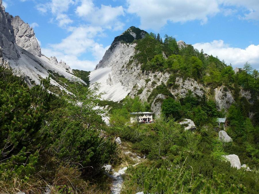
Gesäuse is Styria's only national park — where the river Enns cuts through wild limestone walls of Hochtor and Reichenstein. Weekend loop across three huts with views of the Northern Limestone Alps' wildest walls, yet manageable on red-marked trails. The route passes Mödlinger Hütte, Hess-Hütte and Haindlkar-Hütte and works as an accessible weekend trek in Gesäuse (Ennstal Alps). Total 39 km and roughly 2200 m ascent; 3 days with 3 nights in huts. Best season is July to September.

Highest point
1,699 m
Huts on the route
3 × hut
Terrain
High alpine
Best time
July to September (huts open, trails snow-free)

The route at a glance

Elevation profile
↑ 2,791 m ascent↓ 2,560 m descent38.9 km2,001 m summit
50013002100Mödlinger Hütte · 1523 mHess-Hütte · 1699 mHaindlkar-Hütte · 1121 m0 km8 km16 km23 km31 km39 km
Line colour = gradient (green gentle → red steep). Dots = huts. Route: © OpenStreetMap (ODbL), elevations from mapy.com.
Route mapOpen full map ↗

Plan and book

Live availability · Alpenverein

Pick a start date — for every night on the route you instantly see the free beds and book directly through the official Alpenverein system.


Choose start date
How many staying overnight
1
„free" = beds for the whole group
MonTueWedThuFriSatSun
All huts freePartly freeSelected
Start · arrival
Gesäuse (Ennstalské Alpy)
◎ Plan arrival
Before the start · lodging
Stay overnight in Gesäuse (Ennstalské Alpy)
Hotels and guesthouses in Gesäuse (Ennstalské Alpy) · Booking.com
Booking.com →
1
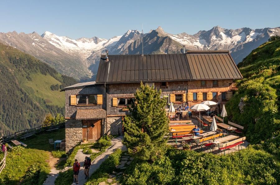
Mödlinger Hütte
Day 1 · traverse to Mödlinger Hütte
↔ 13.3 km↑ 1217 m↓ 332 m◷ 6–7 h

2
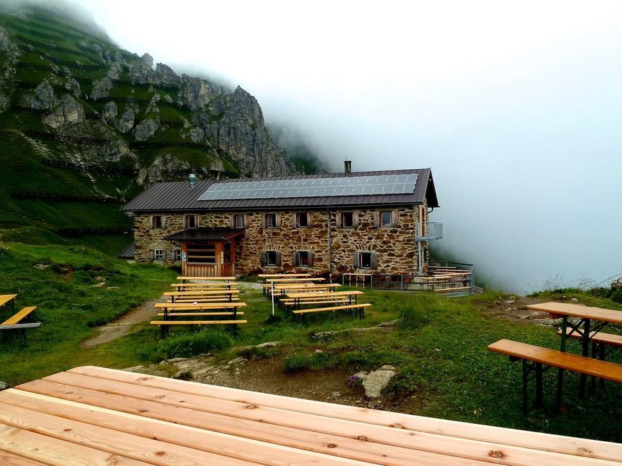
Hess-Hütte
Day 2 · traverse to Hess-Hütte
↔ 13.4 km↑ 876 m↓ 701 m◷ 6–7 h

Night 2
Hut info →Book →
3
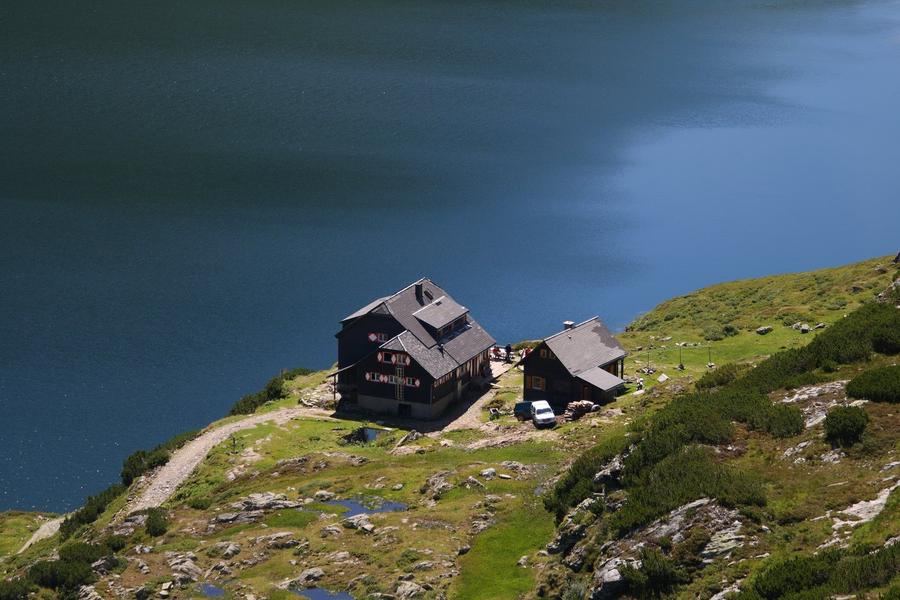
Haindlkar-Hütte
Day 3 · traverse to Haindlkar-Hütte
↔ 4.8 km↑ 332 m↓ 906 m◷ 3–4 h

4
Day 4 · traverse to Gstatterboden
↔ 7.3 km↑ 366 m↓ 621 m◷ 3–4 h

Gstatterboden 580 m
Valley village · lodging via Booking.com
Booking.com →
Descent to the valley · Gesäuse (Ennstalské Alpy)
From the last hut you descend to the valley village — approximate destination, lodging below.
After the trek · lodging
Stay an extra day in Gesäuse (Ennstalské Alpy)
Hotels and guesthouses in Gesäuse (Ennstalské Alpy) · Booking.com
Booking.com →
Route alert
Want the whole route on one date?
Leave your e-mail. We’ll write as soon as every hut on the route lines up with no gaps — with the dates straight to your calendar.

What to pack

Sleeping bag liner
Sleeping bag liner
Required in huts
Browse at 4camping →
Hiking boots
Hiking boots
Ankle-high, category B–C
Browse at 4camping →
Waterproof jacket
Waterproof jacket
Hardshell, 3-layer
Browse at 4camping →
Backpack 30–40 l
Backpack 30–40 l
Multi-day, with rain cover
Browse at 4camping →
Trekking poles
Trekking poles
Foldable
Browse at 4camping →
Headlamp
Headlamp
Rechargeable
Browse at 4camping →
Layered clothing
Layered clothing
Merino + fleece
Browse at 4camping →
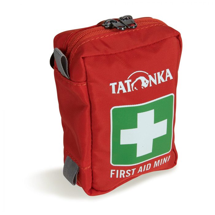
First-aid kit
First-aid kit
+ emergency blanket
Browse at 4camping →

Handy before you go

tips from verified partners
View on GetYourGuide
Partner · experiences
Tours and activities nearby
Guided tours, via ferratas and trips around Gesäuse (Ennstalské Alpy) — book online.
View on GetYourGuide →
Get Revolut
Partner · payments
No foreign-currency fees
A card for fee-free payments and withdrawals along the whole route — exchange rate with no markup.
Get Revolut →
Buy an eSIM on Airalo
Partner · connectivity
eSIM data in the Alps
Mobile data without roaming for the whole trek, activated in a minute.
Buy an eSIM on Airalo →

Frequently asked questions

How many days does Gesäuse Hüttenrunde take?+
The route can be completed in 3 days with 3 nights in mountain huts. Total distance is 39 km and ascent around 2791 m.
How challenging is the route?+
Moderately demanding. It runs mostly on marked trails and is achievable for a fit hiker. Expect several hours of hiking daily.
Can you book huts online?+
Yes, all huts on the route are bookable online through the Alpenverein system. You can see current availability for each night directly here.
When is the best time?+
July to September, when huts are open and trails are snow-free. Early season may see snow patches at higher elevations.

Similar routes

Show all routes →
Berliner HöhenwegHard
Berliner Höhenweg
Zillertal Alps
90 km8-9 days
Stubaier HöhenwegHard
Stubaier Höhenweg
Stubai Alps
83 km8 days
Schladminger Tauern HöhenwegModerate
Schladminger Tauern Höhenweg
Low Tauern
76 km5-7 days