🇦🇹Austria · East Tyrol

Adlerweg East Tyrol

Multi-day hut-to-hut trek across Alpenverein huts
Adlerweg East Tyrol
Hard TraverseVia ferrata
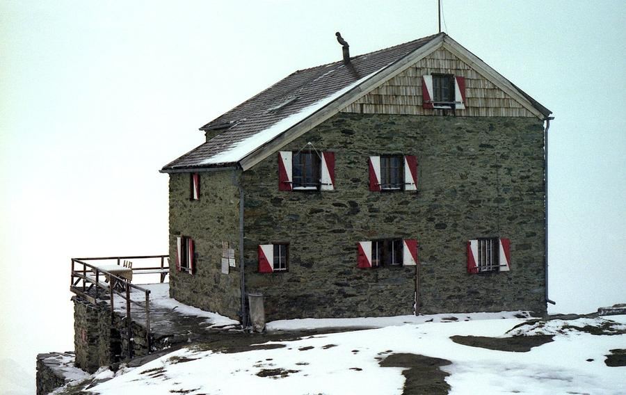
—Earnest B— 10:06, 10. Mai 2010 (CEST) · Public domain
93 km
Distance
+8,000 m
Ascent
9 days
Duration
4
Huts
Best time: July – September
Check hut availability →
Download GPX ↓

About the route

Highest point
2,802 m
Huts on the route
4 × hut
Secured sections
Via ferrata K3 · avoidable
Best time
July – September

The route at a glance

Elevation profile
↑ 5,219 m ascent↓ 6,530 m descent77.9 km3,224 m summit
130023003300Bonn-Matreier Hütte · 2750 mBadener Hütte · 2608 mSudetendeutsche Hütte · 2656 mStüdlhütte · 2802 m0 km16 km31 km47 km62 km78 km
Line colour = gradient (green gentle → red steep). Dots = huts. Route: © OpenStreetMap (ODbL), elevations from mapy.com.
Route mapOpen full map ↗

Plan and book

Live availability · Alpenverein

Pick a start date — for every night on the route you instantly see the free beds and book directly through the official Alpenverein system.


Choose start date
How many staying overnight
1
„free" = beds for the whole group
MonTueWedThuFriSatSun
All huts freePartly freeSelected
Start · arrival
Prägraten am Großvenediger
◎ Plan arrival
Prägraten am Großvenediger
Before the start · lodging
Stay overnight in Prägraten am Großvenediger
Hotels and guesthouses in Prägraten am Großvenediger · Booking.com
Booking.com →
1
Day 1 · traverse to Johannishütte
↔ 6.1 km↓ 1110 m◷ 2–3 h

From Strödental upward to Johannishütte (2,121 m). Built in 1858 with donations, including from Archduke John of Austria—for whom it is named—it ranks among the oldest huts beneath Großvenediger.

Johannishütte 2121 m
Valley village · lodging via Booking.com
Booking.com →
2
Day 2 · traverse to Eisseehütte
↔ 5.4 km↑ 850 m↓ 446 m◷ 4–5 h

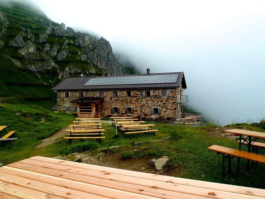
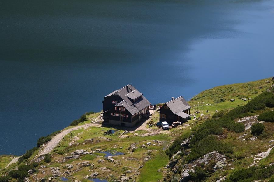
The route's toughest stage: over 1,000 meters of gain to Eisseehütte (2,521 m). The name reveals what awaits—an ice lake (Eissee).

Eisseehütte 2521 m
Valley village · lodging via Booking.com
Booking.com →
3
Bonn-Matreier Hütte
Day 3 · traverse to Bonn-Matreier Hütte
↔ 6.7 km↑ 520 m↓ 298 m◷ 3–4 h

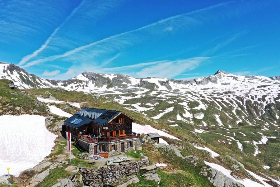
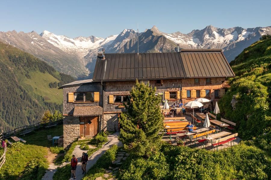
To Bonn-Matreier Hütte (2,750 m), the route's highest overnight stop. A balcony with views directly into Virgental.

4
Badener Hütte
Day 4 · traverse to Badener Hütte
↔ 9.2 km↑ 582 m↓ 716 m◷ 4–5 h

To Badener Hütte (2,608 m) directly beneath Großvenediger's glaciers. The heavily glaciated giant lies within reach.

Night 4
Hut info →Book →
5
Day 5 · traverse to Matreier Tauernhaus (obec)
↔ 10.8 km↑ 354 m↓ 1448 m◷ 5–6 h

Descent to Matreier Tauernhaus (1,512 m)—the route's lowest point. A moment of civilization, hot showers, legs rested.

Matreier Tauernhaus (obec) 1512 m
Valley village · lodging via Booking.com
Booking.com →
6
Sudetendeutsche Hütte
Day 6 · traverse to Sudetendeutsche Hütte
↔ 15.3 km↑ 1406 m↓ 264 m◷ 7–8 h

Back upward to Sudetendeutsche Hütte (2,656 m) in the Granatspitzgruppe. An outlook hut built 1927–1929.

7
Day 7 · traverse to Kalser Tauernhaus (obec)
↔ 7 km↑ 189 m↓ 1090 m◷ 3–4 h

Over an old Tauern pass to Kalser Tauernhaus (1,755 m). For centuries traders and pack animals crossed here.

Kalser Tauernhaus (obec) 1755 m
Valley village · lodging via Booking.com
Booking.com →
8
Stüdlhütte
Day 8 · traverse to Stüdlhütte
↔ 12.3 km↑ 1318 m↓ 269 m◷ 6–7 h

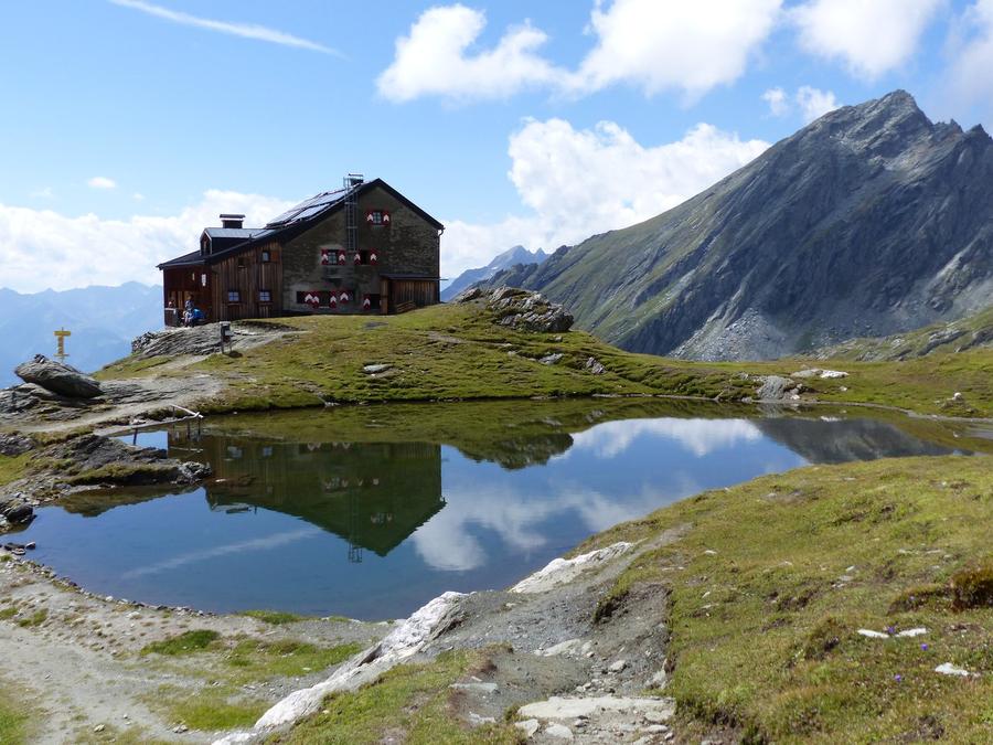
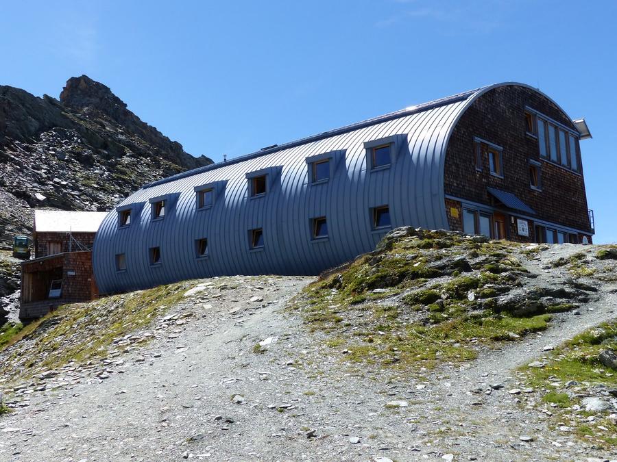
Route's pinnacle: Stüdlhütte (2,801 m), the highest hut. Founded in 1868 by Prague merchant Johann Stüdl—the first hut of the German Alpenverein.

Night 8
Hut info →Book →
Descent to the valley · Heiligenblut (Heiligenblut am Großglockner)
From the last hut you descend to the valley village — approximate destination, lodging below.
Heiligenblut
After the trek · lodging
Rest up in Heiligenblut
Hotels and guesthouses in Heiligenblut · Booking.com
Booking.com →
Route alert
Want the whole route on one date?
Leave your e-mail. We’ll write as soon as every hut on the route lines up with no gaps — with the dates straight to your calendar.

What to pack

Sleeping bag liner
Sleeping bag liner
Required in huts
Browse at 4camping →
Hiking boots
Hiking boots
Ankle-high, category B–C
Browse at 4camping →
Waterproof jacket
Waterproof jacket
Hardshell, 3-layer
Browse at 4camping →
Backpack 30–40 l
Backpack 30–40 l
Multi-day, with rain cover
Browse at 4camping →
Trekking poles
Trekking poles
Foldable
Browse at 4camping →
Headlamp
Headlamp
Rechargeable
Browse at 4camping →
Via ferrata set
Via ferrata set
Shock absorber + carabiners
Browse at 4camping →
Climbing helmet
Climbing helmet
Light, for via ferrata
Browse at 4camping →

Handy before you go

tips from verified partners
View on GetYourGuide
Partner · experiences
Tours and activities nearby
Guided tours, via ferratas and trips around Prägraten am Großvenediger — book online.
View on GetYourGuide →
Get Revolut
Partner · payments
No foreign-currency fees
A card for fee-free payments and withdrawals along the whole route — exchange rate with no markup.
Get Revolut →
Buy an eSIM on Airalo
Partner · connectivity
eSIM data in the Alps
Mobile data without roaming for the whole trek, activated in a minute.
Buy an eSIM on Airalo →

Frequently asked questions

What is Adlerweg Osttirol's distance and day count?+
Roughly 93 km spread over 9 stages, thus 9 days. You gain around 8,000 meters and lose the same, with most of the route between 2,000–2,500 meters elevation.
How demanding is the route?+
Challenging high alpine trekking. Requires a sure foot, a head without vertigo, and prior Alpine experience. Passes exceed 2,800 meters and terrain is locally exposed. Not for beginners.
Where does the route start and end?+
It starts in Strödental (Prägraten, Virgental) at Großvenediger's foot and ends descending to Lucknerhaus near Kals below Grossglockner.
Which huts does the route visit?+
In sequence: Johannishütte, Eisseehütte, Bonn-Matreier Hütte, Badener Hütte, Matreier Tauernhaus (valley), Sudetendeutsche Hütte, Kalser Tauernhaus (valley), Stüdlhütte, and descent to Lucknerhaus.
Is there via ferrata on the route?+
No guided via ferrata appears in the route data. The trek follows high alpine trails that are locally exposed—safety equipment matters more in your head than your pack.
When is the best season?+
Roughly mid-June through mid-September when mountain huts operate and snowfields on passes are passable. Outside this window huts close down.
How do I book hut stays?+
Huts are managed by Alpenverein sections (Alpenverein). Book in advance, either directly with each hut or through the Alpenverein reservation system. Standard is half-board and mattress in a dorm.
Will I see both Großvenediger and Grossglockner?+
Yes. The route starts at Großvenediger's (3,657 m) foot, the highest peak of the Venediger group, and ends below Grossglockner, Austria's highest mountain.
Which hut is highest and which is lowest?+
Highest overnight stop is Stüdlhütte (2,801 m); lowest is Matreier Tauernhaus (1,512 m), where you descend to the valley on day five.
Is the route marked?+
Yes, it is the East Tyrolean branch of the Tyrolean Adlerweg (Eagle Trail) and runs entirely through Hohe Tauern National Park across the Venediger, Granatspitz, and Glockner groups.
Do I need a mountain guide or glacier equipment?+
The main trail follows hiking paths, not over glaciers. Glacier gear and a guide are needed only for optional summits like Großvenediger, which lie off the main route.
Why is Stüdlhütte interesting for Czechs?+
Prague merchant Johann Stüdl founded it in 1868—it was the very first hut of the German Alpenverein. It stands at 2,801 meters below Grossglockner.

Similar routes

Show all routes →
Berliner HöhenwegHard
Berliner Höhenweg
Zillertal Alps
90 km8-9 days
Stubaier HöhenwegHard
Stubaier Höhenweg
Stubai Alps
83 km8 days
Schladminger Tauern HöhenwegModerate
Schladminger Tauern Höhenweg
Low Tauern
76 km5-7 days