🇦🇹Austria · Dachstein

Dachstein Five-Day Circuit

Multi-day hut-to-hut trek across Alpenverein huts
Dachstein Five-Day Circuit
Hard TraverseVia ferrata
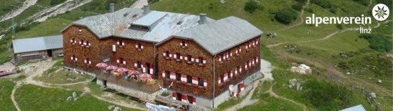
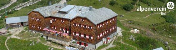
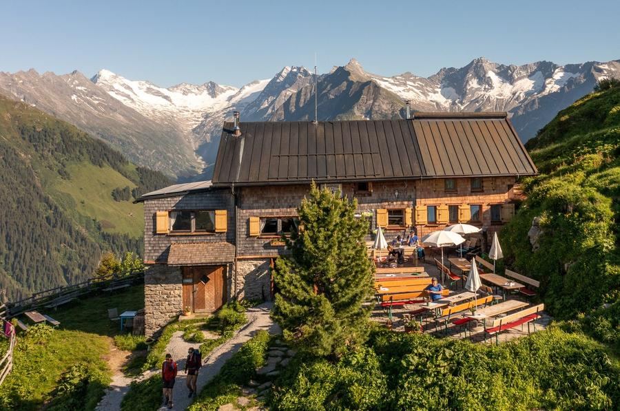
© Hofpürgl-Hütte · hut-reservation.org
80 km
Distance
+4,500 m
Ascent
5 days
Duration
5
Huts
Best time: July – September
Check hut availability →
Download GPX ↓

About the route

Highest point
2,740 m
Huts on the route
5 × hut
Secured sections
Via ferrata K3 · avoidable
Best time
July – September

The route at a glance

Elevation profile
↑ 4,546 m ascent↓ 3,534 m descent68.3 km2,736 m summit
50017002800Adamek-Hütte · 2196 mHofpürgl-Hütte · 1705 mTheodor-Körner-Hütte · 1466 mSeethalerhütte · 2740 mGablonzer Hütte · 1550 m0 km14 km27 km41 km55 km68 km
Line colour = gradient (green gentle → red steep). Dots = huts. Route: © OpenStreetMap (ODbL), elevations from mapy.com.
Route mapOpen full map ↗

Plan and book

Live availability · Alpenverein

Pick a start date — for every night on the route you instantly see the free beds and book directly through the official Alpenverein system.


Choose start date
How many staying overnight
1
„free" = beds for the whole group
MonTueWedThuFriSatSun
All huts freePartly freeSelected
Start · arrival
Hallstatt
◎ Plan arrival
Hallstatt
Before the start · lodging
Stay overnight in Hallstatt
Hotels and guesthouses in Hallstatt · Booking.com
Booking.com →
1
Adamek-Hütte
Day 1 · traverse to Adamek-Hütte
↔ 16.3 km↑ 1880 m↓ 196 m◷ 9–10 h

Adamekhütte (2196 m)—Alpenverein hut with views over Dachstein and the full Gosaukamm ridge. First night already high, already near the glacier.

Night 1
Hut info →Book →
2
Hofpürgl-Hütte
Day 2 · traverse to Hofpürgl-Hütte
↔ 8.1 km↑ 345 m↓ 833 m◷ 3–4 h

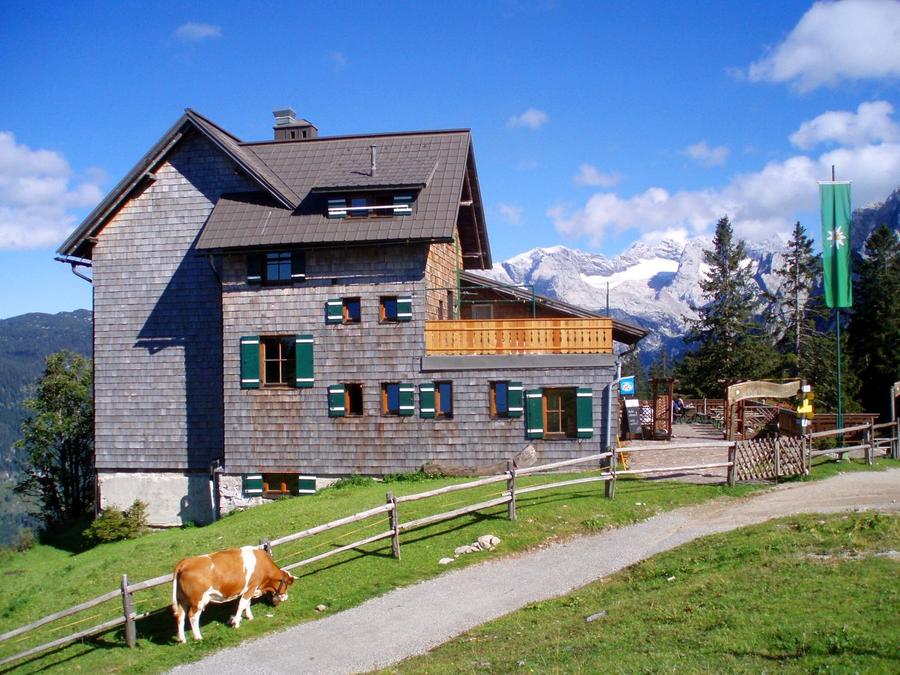
Hofpürglhütte nestled directly below the majestic Große Bischofsmütze; the traverse to Adamekhütte via Reißgangscharte is cable-secured and among the loop's hardest sections.

3
Theodor-Körner-Hütte
Day 3 · traverse to Theodor-Körner-Hütte
↔ 6.7 km↑ 177 m↓ 428 m◷ 2–3 h

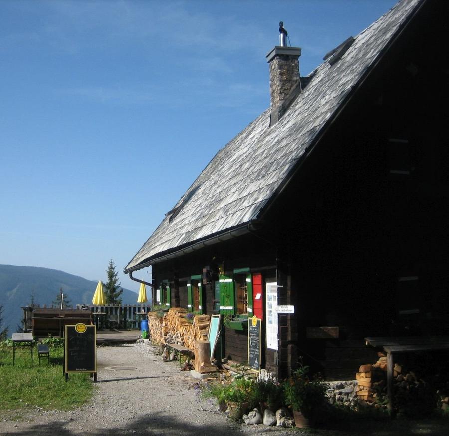
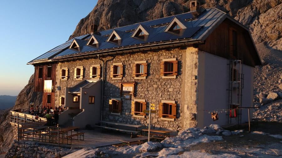
Theodor-Körner-Hütte, one of the oldest nearby—built in 1922 beneath Gosaukamm walls.

4
Seethalerhütte
Day 4 · traverse to Seethalerhütte
↔ 18.9 km↑ 1532 m↓ 251 m◷ 8–9 h🪝 ferrata K3 · lze obejít

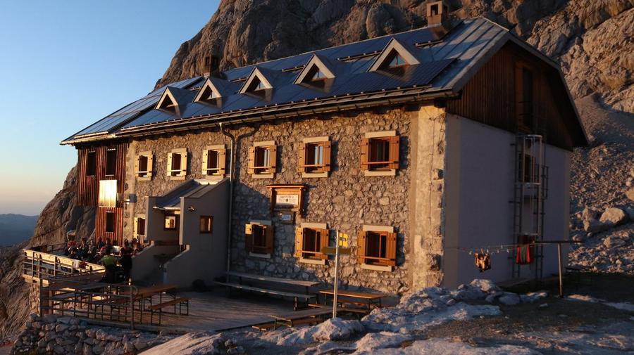
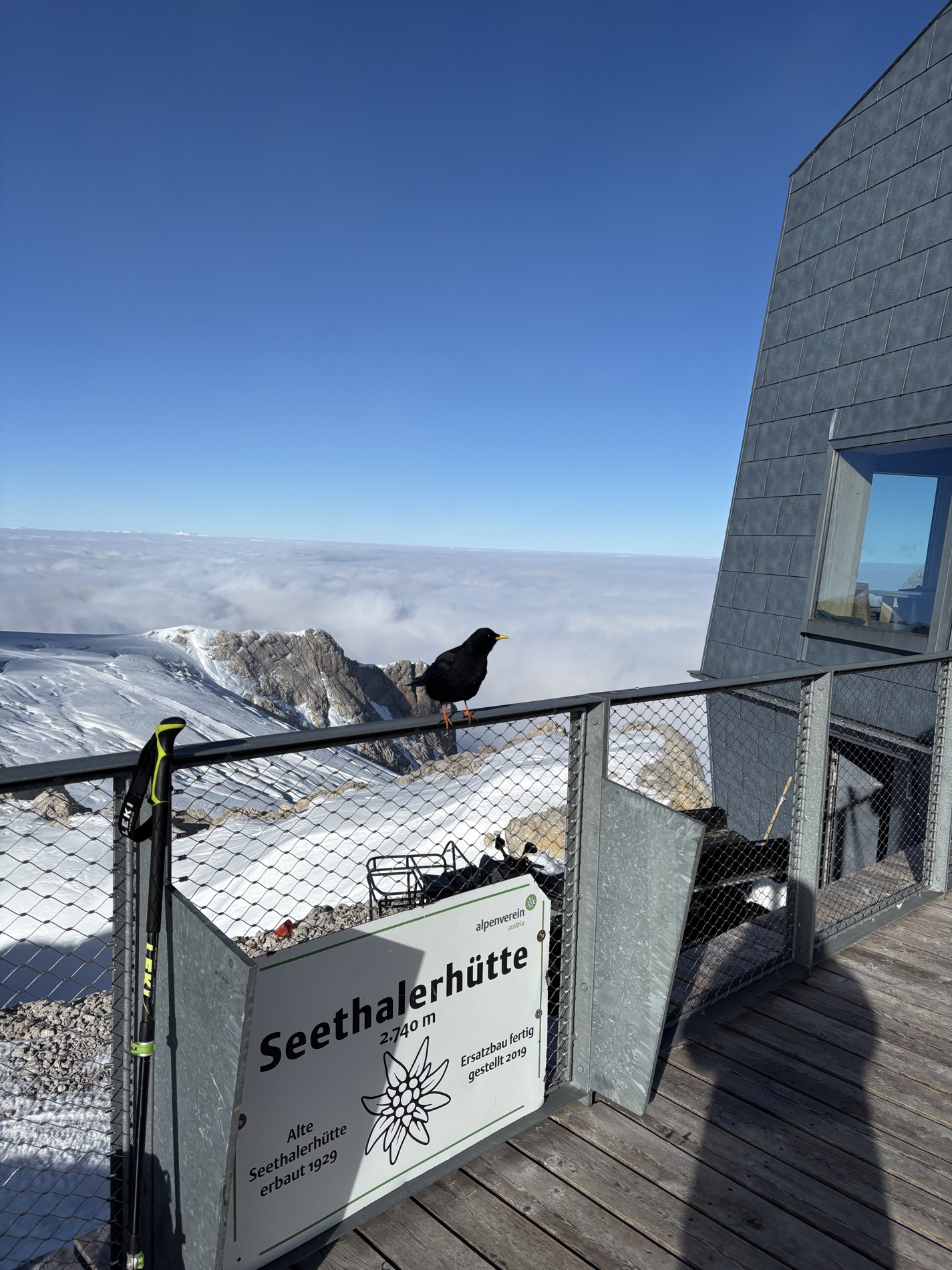
Seethalerhütte (2740 m)—Upper Austria's highest hut. Alpenverein completely rebuilt it 2016–2018 from concrete and wood, reopening Christmas 2018; holds roughly 22 beds.

5
Gablonzer Hütte
Day 5 · traverse to Gablonzer Hütte
↔ 18.4 km↑ 612 m↓ 1826 m◷ 8–9 h

Gablonzer Hütte on Zwieselalm below Donnerkogel, built 1933–1934 by Gablonz section—highlanders from Jablonec nad Nisou; Gosaukammbahn cable car (since 1967) offers descent option.

Descent to the valley · Hallstatt
The loop closes back at the starting village — approximate destination, lodging below.
Hallstatt
After the trek · lodging
Stay an extra day in Hallstatt
Hotels and guesthouses in Hallstatt · Booking.com
Booking.com →
Route alert
Want the whole route on one date?
Leave your e-mail. We’ll write as soon as every hut on the route lines up with no gaps — with the dates straight to your calendar.

What to pack

Sleeping bag liner
Sleeping bag liner
Required in huts
Browse at 4camping →
Hiking boots
Hiking boots
Ankle-high, category B–C
Browse at 4camping →
Waterproof jacket
Waterproof jacket
Hardshell, 3-layer
Browse at 4camping →
Backpack 30–40 l
Backpack 30–40 l
Multi-day, with rain cover
Browse at 4camping →
Trekking poles
Trekking poles
Foldable
Browse at 4camping →
Headlamp
Headlamp
Rechargeable
Browse at 4camping →
Via ferrata set
Via ferrata set
Shock absorber + carabiners
Browse at 4camping →
Climbing helmet
Climbing helmet
Light, for via ferrata
Browse at 4camping →

Handy before you go

tips from verified partners
View on GetYourGuide
Partner · experiences
Tours and activities nearby
Guided tours, via ferratas and trips around Hallstatt — book online.
View on GetYourGuide →
Get Revolut
Partner · payments
No foreign-currency fees
A card for fee-free payments and withdrawals along the whole route — exchange rate with no markup.
Get Revolut →
Buy an eSIM on Airalo
Partner · connectivity
eSIM data in the Alps
Mobile data without roaming for the whole trek, activated in a minute.
Buy an eSIM on Airalo →

Frequently asked questions

How long is the five-day Dachstein loop and how much climbing?+
About 80 km with total gain around 4500 m, divided into five stages. Start and finish in Gosau—a closed loop around the entire Dachstein massif.
Is the route hard? Who should do it?+
Rated hard and aimed at experienced hikers. The Reißgangscharte traverse between Hofpürglhütte and Adamekhütte has steep steps, exposed sections, and steel cables—demands steady foot and a head for heights. Not for first multiday trek.
Which huts do you sleep at?+
Adamekhütte (2196 m), Hofpürglhütte below Bischofsmütze, Theodor-Körner-Hütte, Seethalerhütte (2740 m), and Gablonzer Hütte on Zwieselalm. Most are Austrian Alpenverein huts.
What's the highest point?+
Seethalerhütte at 2740 m—Upper Austria's highest hut, directly below Hoher Dachstein (2995 m). That's stage four, the royal stage of the loop.
How do I book huts?+
Via Alpenverein. Most are Alpenverein huts; advance booking is mandatory in peak season—beds are tight. Seethalerhütte holds only 21–22. Full-trek booking secures beds; walk-ups don't work. Membership cuts fees.
When is the best time?+
Late June through September, when trails are clear and huts staffed. High traverses like Reißgangscharte outside this window require winter gear and expertise.
Do I need via ferrata gear?+
The route isn't via ferrata, but steel-cable-secured sections on Reißgangscharte are there. Steady foot in exposed terrain essential; formal ferrata set and helmet optional but sensible.
Where does the loop start?+
From Gosau in the Salzburg-Upper Austrian Salzkammergut, near Gosausee with its classic Dachstein reflection. The entire loop returns to Gosau.
What is Gosaukamm?+
The sharp limestone ridge on Dachstein's west side, with towers like Bischofsmütze and Donnerkogel. The route runs beneath and around it—one of the most photogenic sections.
Will I see a glacier?+
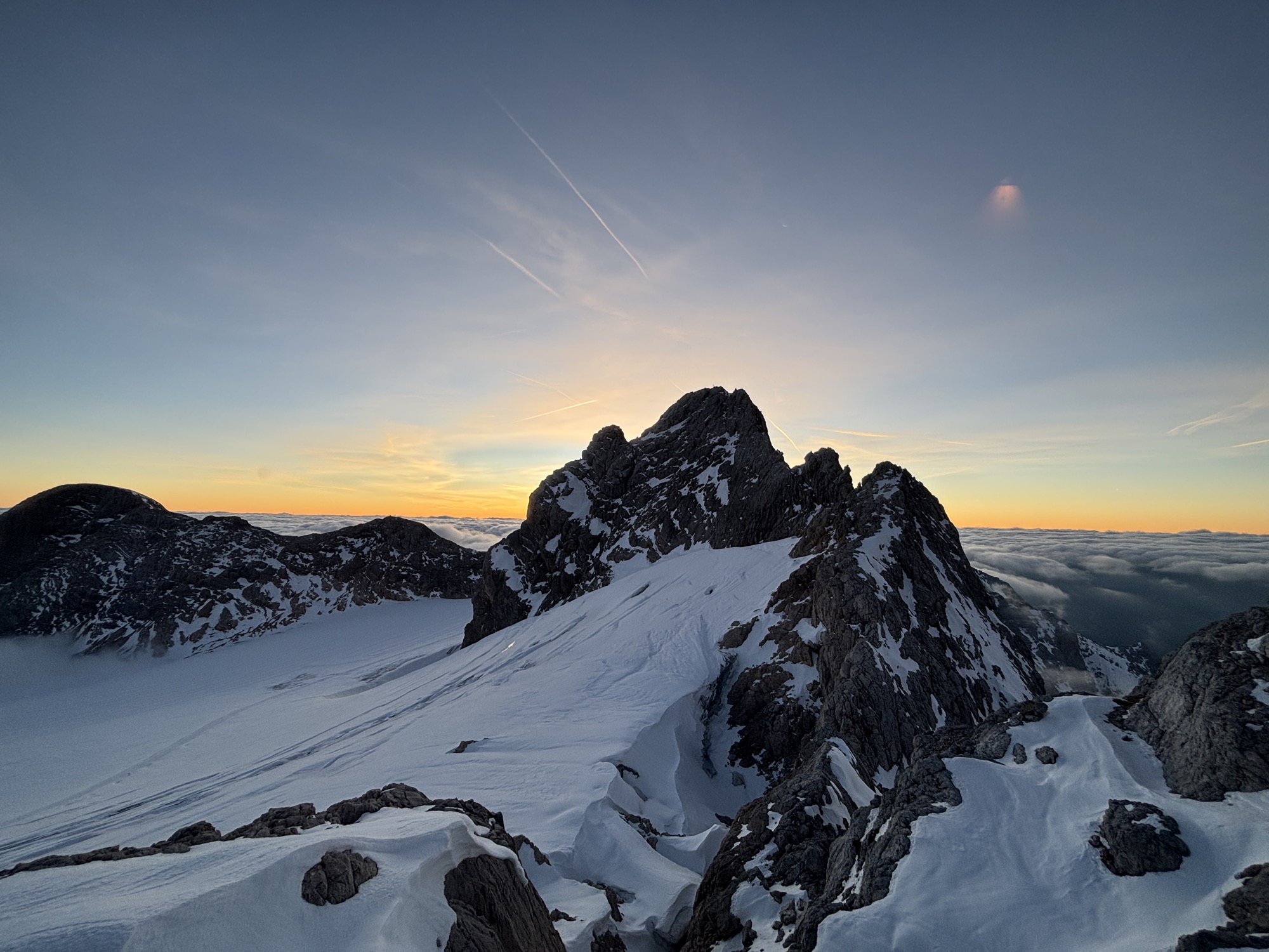
Yes, best near Seethalerhütte and Adamekhütte, which sit above the glacier zone beneath Dachstein's summit peaks.
How hard is the final day?+
Stage five descends to Gablonzer Hütte on Zwieselalm and down to Gosau. Thanks to Gosaukammbahn cable car (operating since 1967), you can hike the final descent fully or cut it short by cable.
Why is one hut called Gablonzer?+
Built 1933–1934 by Gablonz section of the Alpine club—i.e., highlanders from Jablonec nad Nisou, Czechia. A small piece of Czech heritage amid Austrian Alps.

Similar routes

Show all routes →
Dachstein Weekend CircuitHard
Dachstein Weekend Circuit
Dachstein
39 km2-3 days
Dachstein Week-Long CircuitHard
Dachstein Week-Long Circuit
Dachstein
121 km7 days
Berliner HöhenwegHard
Berliner Höhenweg
Zillertal Alps
90 km8-9 days