🇨🇭Switzerland · Graubünden / Parc Ela

Graubünden Almwanderung

Multi-day hut-to-hut trek across Alpenverein huts
Graubünden Almwanderung
Easy Traverse
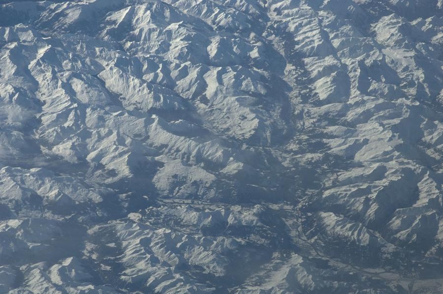
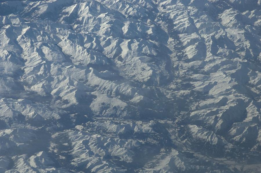
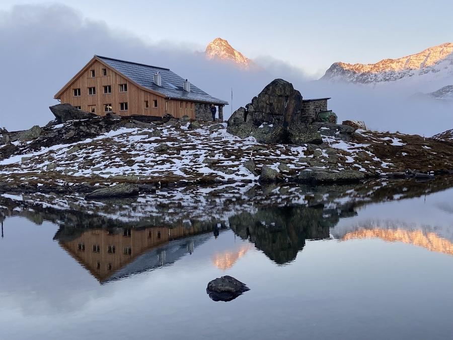
Earth Science and Remote Sensing Unit, Lyndon B. Johnson Spa · Public domain
22 km
Distance
+1,100 m
Ascent
2-3 days
Duration
3
Huts
Best time: July – September
Check hut availability →
Download GPX ↓

About the route

Highest point
2,000 m
Huts on the route
3 × hut
Terrain
High alpine
Best time
July – September

The route at a glance

Elevation profile
↑ 1,675 m ascent↓ 1,172 m descent25.1 km2,179 m summit
90016002200Aclas Dafora · 1693 mSägässähenki Jenisberg · 1504 mAgroturissem Alp d'Err · 2000 m0 km5 km10 km15 km20 km25 km
Line colour = gradient (green gentle → red steep). Dots = huts. Route: © OpenStreetMap (ODbL), elevations from mapy.com.
Route mapOpen full map ↗

Plan and book

Live availability · Alpenverein

Pick a start date — for every night on the route you instantly see the free beds and book directly through the official Alpenverein system.


Choose start date
How many staying overnight
1
„free" = beds for the whole group
MonTueWedThuFriSatSun
All huts freePartly freeSelected
Start · arrival
Tiefencastel
◎ Plan arrival
Tiefencastel
Before the start · lodging
Stay overnight in Tiefencastel
Hotels and guesthouses in Tiefencastel · Booking.com
Booking.com →
1
Aclas Dafora
Day 1 · traverse to Aclas Dafora
↔ 10.4 km↑ 399 m↓ 579 m◷ 4–5 h

Night 1
Hut info →Book →
2
Sägässähenki Jenisberg
Day 2 · traverse to Sägässähenki Jenisberg
↔ 14.7 km↑ 1276 m↓ 593 m◷ 7–8 h

3
Agroturissem Alp d'Err
Day 3 · traverse to Agroturissem Alp d'Err

Descent to the valley · Tiefencastel
The loop closes back at the starting village — approximate destination, lodging below.
Tiefencastel
After the trek · lodging
Stay an extra day in Tiefencastel
Hotels and guesthouses in Tiefencastel · Booking.com
Booking.com →
Route alert
Want the whole route on one date?
Leave your e-mail. We’ll write as soon as every hut on the route lines up with no gaps — with the dates straight to your calendar.

What to pack

Sleeping bag liner
Sleeping bag liner
Required in huts
Browse at 4camping →
Hiking boots
Hiking boots
Ankle-high, category B–C
Browse at 4camping →
Waterproof jacket
Waterproof jacket
Hardshell, 3-layer
Browse at 4camping →
Backpack 30–40 l
Backpack 30–40 l
Multi-day, with rain cover
Browse at 4camping →
Trekking poles
Trekking poles
Foldable
Browse at 4camping →
Headlamp
Headlamp
Rechargeable
Browse at 4camping →
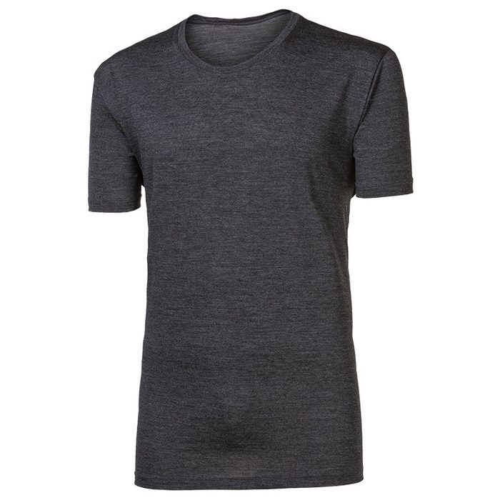
Layered clothing
Layered clothing
Merino + fleece
Browse at 4camping →
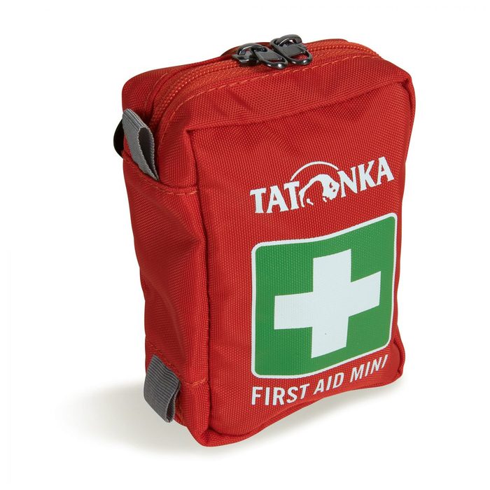
First-aid kit
First-aid kit
+ emergency blanket
Browse at 4camping →

Handy before you go

tips from verified partners
View on GetYourGuide
Partner · experiences
Tours and activities nearby
Guided tours, via ferratas and trips around Tiefencastel — book online.
View on GetYourGuide →
Get Revolut
Partner · payments
No foreign-currency fees
A card for fee-free payments and withdrawals along the whole route — exchange rate with no markup.
Get Revolut →
Buy an eSIM on Airalo
Partner · connectivity
eSIM data in the Alps
Mobile data without roaming for the whole trek, activated in a minute.
Buy an eSIM on Airalo →

Frequently asked questions

How long is the Bündner Alpwanderung route?+
The trek is 22 kilometers, split across 2 or 3 days depending on pace and hut choice.
How difficult is this route?+
Rated as easy — mountain walking on marked trails without technical difficulty.
Do you need via ferrata gear on Bündner Alpwanderung?+
According to available data, the route contains no via ferrata sections, so the gear isn't needed.
Where does the trek start and end?+
It's a loop — start and end in Filisur village in Graubünden canton.
Which huts and farms are on the route?+
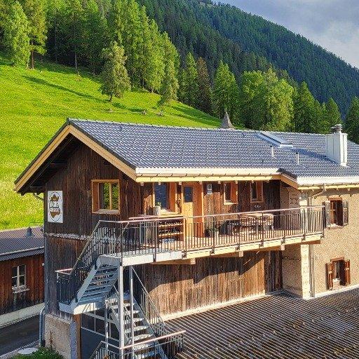
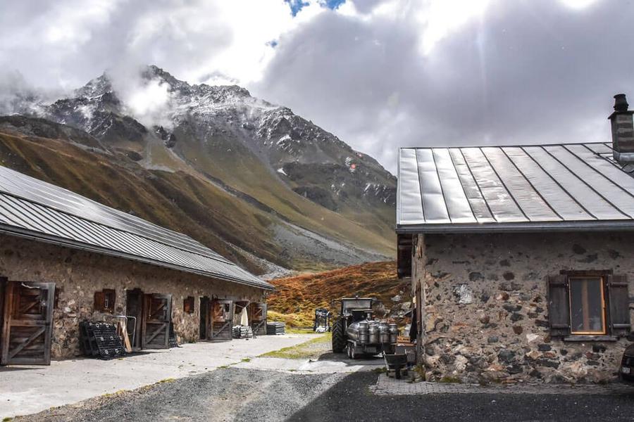
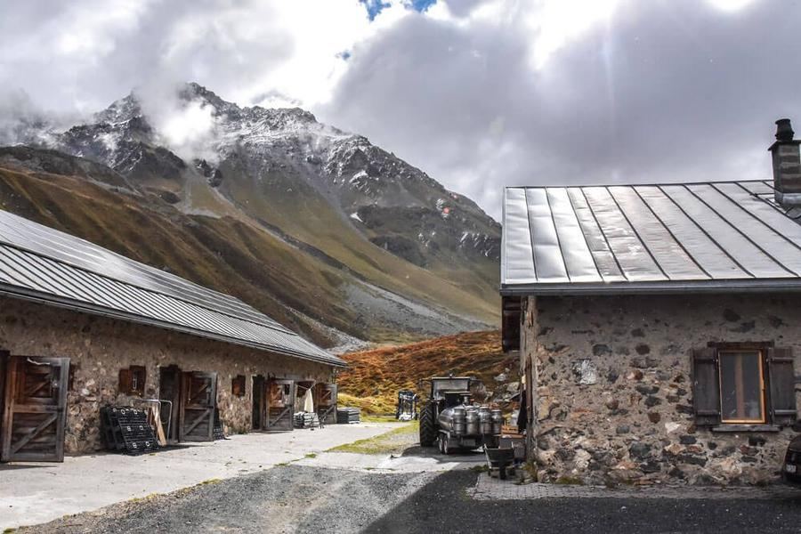
Day one leads to Aclas Dafora farm; day two to Sägässähenki agritourism farm in Jenisberg; day three (if taken) to Alp d'Err cheese dairy.
Is Bündner Alpwanderung suitable for beginners?+
Yes, the easy rating and short length make it suitable even for less experienced trekkers or as a first multi-day hut trek.
Which region does the route cover?+
The trek runs through Parc Ela nature reserve in Graubünden canton, Switzerland.
How do I book lodging at the huts?+
Contact operators directly or, if huts are Alpenverein members, book through their official system.
How many days should I schedule for the route?+
The route is designed for 2 or 3 days — shorter for faster pace, three days for a more leisurely split including the Alp d'Err cheese dairy.
Is the route family-friendly with children?+
The easy rating and short total distance make it suitable for family hiking; specific child-friendliness depends on individual children's fitness and segment lengths.

Similar routes

Show all routes →
Ela TrekModerate
Ela Trek
Graubünden / Parc Ela
45 km4 days
BärentrekModerate
Bärentrek
Bernese Alps
100 km6 days
Kesch TrekModerate
Kesch Trek
Graubünden
36 km4 days