Once bears walked here. Now you, with a pack on your back.
Bärentrek takes its name from when this corner of the Berner Oberland belonged to wild animals and barely a shepherd. Bears are gone. Wildness remains. Six days, a hundred kilometres, over seven thousand metres of climbing and descent, like summiting Ben Nevis five times, except between you and the peaks stand the Blüemlisalp glacier and a trio the world knows: Eiger, Mönch and Jungfrau.
It's not a random route. Bärentrek is the six wildest stages of the long-distance Via Alpina 1, carved from the Berner Oberland between Meiringen and Lenk. And unlike ridge hikes that don't let you down for a week, this trek breathes differently: each evening you descend to a valley village with a bed and hot dinner, Grindelwald, Lauterbrunnen, Mürren, Griesalp, Kandersteg, Adelboden. Morning you climb back over a pass. Inhale, exhale. Six times.
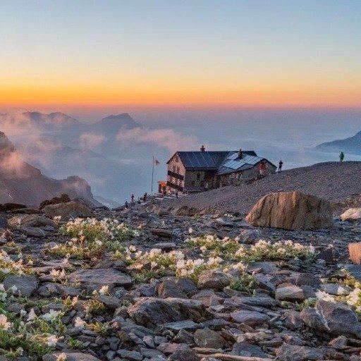
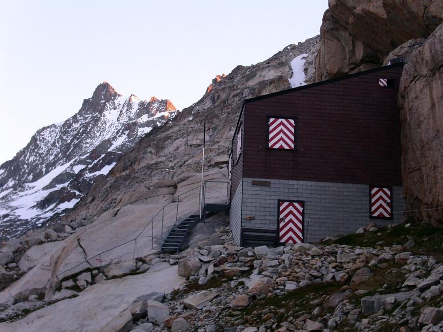
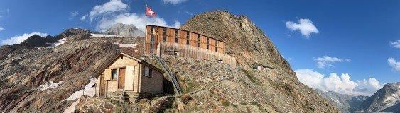
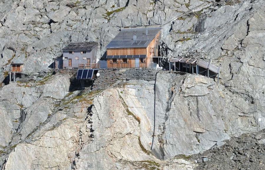
But terrain doesn't coddle. The stage everyone calls the royal stage runs from Griesalp over Hohtürli, at 2,778 m the route's highest point. The final metres of climb are steps cut and stacked into scree; your knees will remember. At the top waits the reward: Blüemlisalphütte SAC at 2,840 m, glued to a glacier, with a panorama worth a soul. Anyone sleeping here sees Eiger, Mönch and Jungfrau front-row and wakes to a day that hasn't aged.
The second scar in memory comes from Sefinenfurgge. A pass with a steep descent down crumbly schist, where wooden steps lead you down like a ladder against a mountain. And then Oeschinensee, a lake below Blüemlisalp's walls, part of a territory UNESCO named a World Natural Heritage Site: Jungfrau–Aletsch. Water colour you can't describe, only experience.
Along the way you pass landmarks you'd recognise even if you'd never been. Grosse Scheidegg with your first look at Eiger's north wall. Mürren above Lauterbrunnen's chasm, a valley of seventy-two waterfalls. Adelboden and Hahnenmoospass, where Wildstrubel's silhouette escorts you towards Lenk. The final stage is almost a stroll after the rest, and that's merciful, because your legs have put in their work.
Who is it for. Not a beginner on his first multi-day hike, but not a superhero either. Moderate difficulty, technically nothing beyond a non-secured path (you'll find no via ferrata here), but fitness counts. Fifteen kilometres daily and over a thousand metres of climbing, day after day. If you can hike a full long day and repeat the next day, Bärentrek will take you.
When to go. High-altitude summer business. Passes are high and steep; snow lingers long, the real window runs mid-July through mid-September. Earlier risks consolidated snow in steep gullies, later means weather that plays no jokes at these heights.
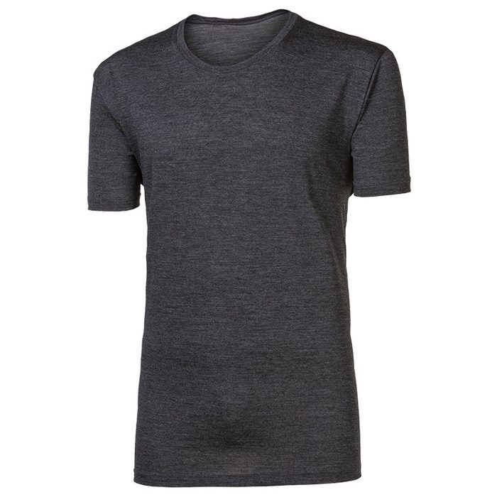
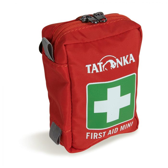
How to arrange it. Book valley accommodation directly in hotels and guesthouses. High-altitude huts like Blüemlisalphütte fall under the Swiss Alpine Club (SAC) and require advance reservation, high season means full; going up Hohtürli hoping for an empty bed is a gamble that doesn't pay off in August. Your luggage can also be transferred stage-to-stage since you sleep in valleys; you climb passes with just a day pack. To Blüemlisalphütte always carry essentials.
A hundred kilometres. Six passes. One glacier you see from bed.
Bears liked it here. You will too.
Pick a start date, for every night on the route you instantly see the free beds and book directly through the official Alpenverein system.




 AT
AT DE
DE CH
CH EN
EN FR
FR IT
IT NL
NL SL
SL SK
SK CZ
CZ