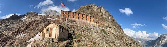
🇨🇭Switzerland · Bernese Alps

Bernese Oberland Week-Long Circuit

Multi-day hut-to-hut trek across Alpenverein huts
Bernese Oberland Week-Long Circuit
Expert Traverse
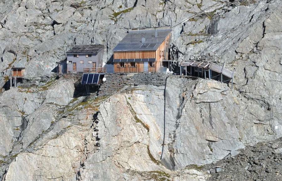
Oxensepp · CC BY-SA 3.0
78 km
Distance
+5,500 m
Ascent
7 days
Duration
7
Huts
Best time: July – September
Check hut availability →
Download GPX ↓

About the route

Highest point
3,256 m
Huts on the route
7 × hut
Terrain
High alpine
Best time
July – September

The route at a glance

Elevation profile
↑ 4,461 m ascent↓ 4,420 m descent100.1 km2,442 m summit
80017002500Aarbiwak SAC · 2731 mFinsteraarhornhütte SAC · 3048 mOberaarjochhütte SAC · 3256 mLauteraarhütte SAC · 2393 mGelmerhütte SAC · 2412 mBächlitalhütte SAC · 2328 mGaulihütte SAC · 2205 m0 km20 km40 km60 km80 km100 km
Line colour = gradient (green gentle → red steep). Dots = huts. Route: © OpenStreetMap (ODbL), elevations from mapy.com.
Route mapOpen full map ↗

Plan and book

Live availability · Alpenverein

Pick a start date — for every night on the route you instantly see the free beds and book directly through the official Alpenverein system.


Choose start date
How many staying overnight
1
„free" = beds for the whole group
MonTueWedThuFriSatSun
All huts freePartly freeSelected
Start · arrival
Oberwald
◎ Plan arrival
Oberwald
Before the start · lodging
Stay overnight in Oberwald
Hotels and guesthouses in Oberwald · Booking.com
Booking.com →
1
Aarbiwak SAC
Day 1 · traverse to Aarbiwak SAC
↔ 15.2 km↑ 642 m↓ 540 m◷ 6–7 h

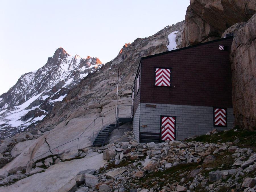
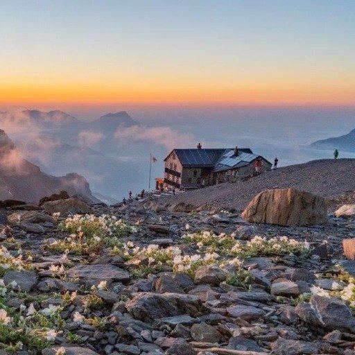
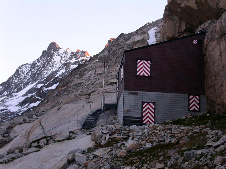
Aarbiwak (2,731 m) lies in a glacier bowl below Finsteraarhorn's eastern wall. The original bivac was swept away in winter 1974/75; the current one stands since 1977 and sleeps barely seventeen.

Night 1
Hut info →Book →
2
Finsteraarhornhütte SAC
Day 2 · traverse to Finsteraarhornhütte SAC
↔ 3 km↑ 195 m↓ 17 m◷ 1–2 h

Finsteraarhornhütte (3,048 m) sits directly below the Bernese Oberland's highest mountain (4,274 m). Rebuilt in 2003 and managed by SAC Oberhasli section.

3
Oberaarjochhütte SAC
Day 3 · traverse to Oberaarjochhütte SAC
↔ 24.3 km↑ 764 m↓ 890 m◷ 9–10 h

Oberaarjochhütte (3,258 m) is the round's ceiling — highest overnight point, reached by traverse across a glacier pass.

4
Lauteraarhütte SAC
Day 4 · traverse to Lauteraarhütte SAC
↔ 16 km↑ 643 m↓ 712 m◷ 6–7 h

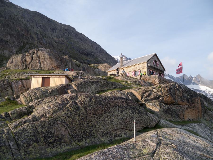
Lauteraarhütte (2,393 m) crowns a rocky island above Unteraargletscher. Its core, Pavillon Dollfuss, dates from the 1840s; from the terrace you gaze straight into Finsteraarhorn's eastern wall.

5
Gelmerhütte SAC
Day 5 · traverse to Gelmerhütte SAC
↔ 4.8 km↑ 109 m↓ 586 m◷ 2–3 h

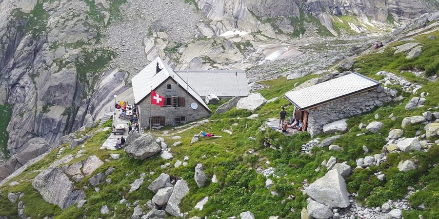
Gelmerhütte (2,412 m) stands above turquoise Gelmersee. Gelmerbahn cable car runs from here to the valley — Europe's steepest open cable car at 106 % gradient.

6
Bächlitalhütte SAC
Day 6 · traverse to Bächlitalhütte SAC
↔ 4.6 km↑ 585 m↓ 29 m◷ 2–3 h

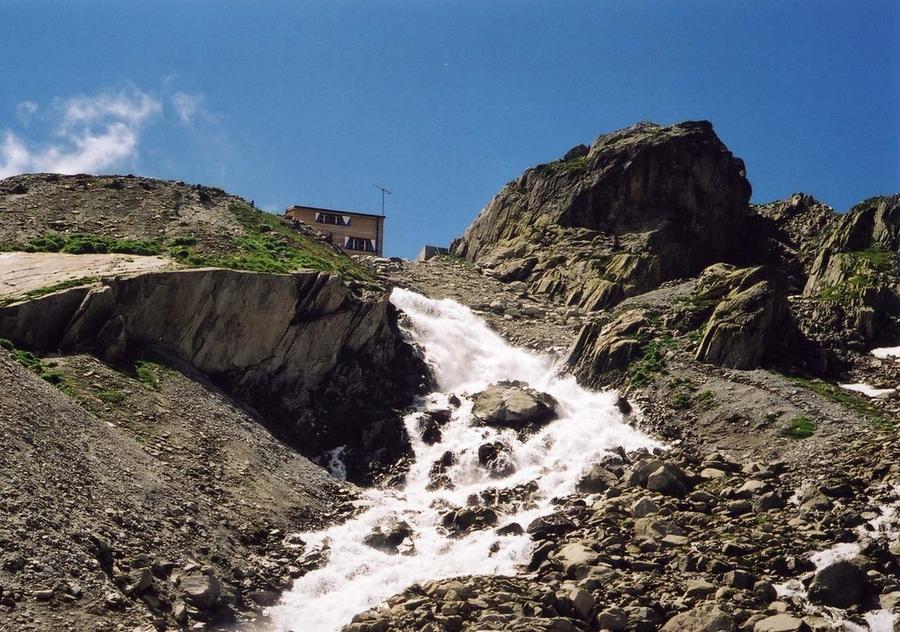
Bächlitalhütte (2,328 m) lies in wild Bächlital, hemmed by massive waterfalls — welcome contrast after days on bare ice.

7
Gaulihütte SAC
Day 7 · traverse to Gaulihütte SAC
↔ 32.1 km↑ 1523 m↓ 1646 m◷ 13–14 h

Gaulihütte (2,205 m) guards Gauligletscher, where pieces of the 1946 Dakota still emerge from the melting ice. From here the round returns to Grimsel.

Descent to the valley · Oberwald
The loop closes back at the starting village — approximate destination, lodging below.
Oberwald
After the trek · lodging
Stay an extra day in Oberwald
Hotels and guesthouses in Oberwald · Booking.com
Booking.com →
Route alert
Want the whole route on one date?
Leave your e-mail. We’ll write as soon as every hut on the route lines up with no gaps — with the dates straight to your calendar.

What to pack

Sleeping bag liner
Sleeping bag liner
Required in huts
Browse at 4camping →
Hiking boots
Hiking boots
Ankle-high, category B–C
Browse at 4camping →
Waterproof jacket
Waterproof jacket
Hardshell, 3-layer
Browse at 4camping →
Backpack 30–40 l
Backpack 30–40 l
Multi-day, with rain cover
Browse at 4camping →
Trekking poles
Trekking poles
Foldable
Browse at 4camping →
Headlamp
Headlamp
Rechargeable
Browse at 4camping →
Layered clothing
Layered clothing
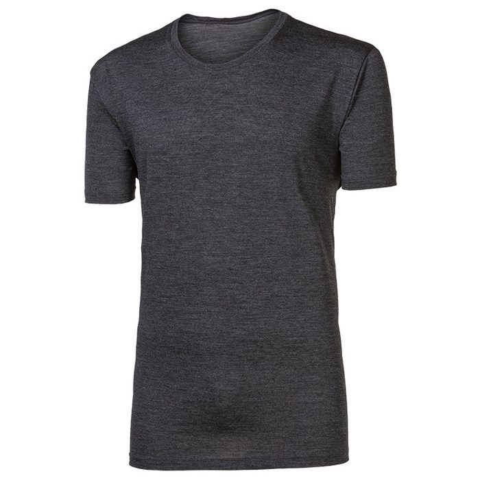
Merino + fleece
Browse at 4camping →
First-aid kit
First-aid kit
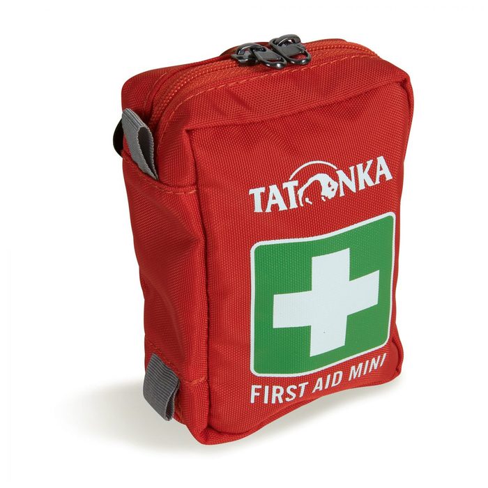
+ emergency blanket
Browse at 4camping →

Handy before you go

tips from verified partners
View on GetYourGuide
Partner · experiences
Tours and activities nearby
Guided tours, via ferratas and trips around Oberwald — book online.
View on GetYourGuide →
Get Revolut
Partner · payments
No foreign-currency fees
A card for fee-free payments and withdrawals along the whole route — exchange rate with no markup.
Get Revolut →
Buy an eSIM on Airalo
Partner · connectivity
eSIM data in the Alps
Mobile data without roaming for the whole trek, activated in a minute.
Buy an eSIM on Airalo →

Frequently asked questions

How long is Berner Oberland Wochenrundtour?+
About 78 km with elevation gain around 5,500 m, divided into seven daily stages. Start and finish at the same place — Grimsel Hospice — making it a true closed loop, not a point-to-point crossing.
How many days do I need?+
Seven days and six nights in SAC huts. Each day ends at a different hut, from Aarbiwak through Finsteraarhornhütte to Gaulihütte. Add reserve time for weather — a spare day on glacier is wise.
How difficult is the route?+
Expert difficulty. It is a high-altitude glacier round, not a tourist ridge walk. You cross three glaciers (Unteraargletscher, Finsteraargletscher, Strahleggfirn), so crampons, ice axe, rope, and solid glacier-team experience are essential.
Which huts does the route pass?+
Seven SAC huts: Aarbiwak (2,731 m), Finsteraarhornhütte (3,048 m), Oberaarjochhütte (3,258 m), Lauteraarhütte (2,393 m), Gelmerhütte (2,412 m), Bächlitalhütte (2,328 m), and Gaulihütte (2,205 m). Start and finish is Grimsel Hospice.
What is the round's highest point?+
Day three at Oberaarjochhütte at 3,258 m. Throughout, Finsteraarhorn (4,274 m) hangs over your head — the Bernese Oberland's highest and the third-most prominent peak in the entire Alps.
Must I know how to walk on glaciers?+
Yes, without fail. The route crosses three glaciers and is led as expert glacier terrain with crevasses. You need to walk in crampons, belay on rope, and understand rope-team safety. For beginners or those without glacier experience, a mountain guide is mandatory.
When is the best time for this round?+
Roughly mid-July to mid-September. That is when SAC huts have staff and glaciers are in best condition. Outside this window you risk glacier snow, concrete-hard firn, and closed huts.
How do I book the huts?+
All seven huts are SAC facilities. Book beds in advance via SAC's reservation system for the section managing each hut. Peak season has tight capacity — Aarbiwak sleeps barely seventeen people.
Is there an escape route if I cannot continue?+
Day five at Gelmerhütte. Gelmerbahn cable car descends to the valley — Europe's steepest open cable car at 106 % gradient. Otherwise the round is remote; escape routes are limited, so plan accordingly.
Where does the round start and how do I reach it?+
Start and finish is Grimsel Hospice on Grimselpass. Postal buses run through the pass in season, so access without a car is possible. The hospice itself is a historic landmark, remembered since 1142.
What is Gaulihütte famous for and what happened there?+
In November 1946, an American Dakota C-53 made an emergency landing on Gauligletscher, and all twelve on board survived. Swiss pilots rescued them using small aircraft — it was the world's first high-altitude aerial rescue. Pieces of the wreck emerge from the melting glacier to this day.
Do I need a mountain guide?+
If you have solid glacier experience and sound rope-team technique, your experienced party can do it. Those lacking this experience absolutely need a guide. Error on a glacier in a rope team is not forgivable.
Is there a via ferrata on the route?+
No. Classic secured climbing paths are absent. Challenge comes from high-altitude glacier terrain — crevasses, crampons, rope — not from wire-secured rock.

Similar routes

Show all routes →
BärentrekModerate
Bärentrek
Bernese Alps
100 km6 days
Finsteraarhorn Weekend CircuitExpert
Finsteraarhorn Weekend Circuit
Bernese Alps
32 km2-3 days
Bernese Oberland Five-Day CircuitExpert
Bernese Oberland Five-Day Circuit
Bernese Alps
55 km5 days