🇨🇭Switzerland · Bernese Alps

Bernese Oberland Five-Day Circuit

Multi-day hut-to-hut trek across Alpenverein huts
Bernese Oberland Five-Day Circuit
Expert Traverse
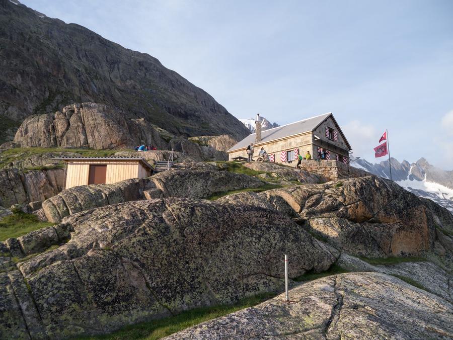
© Finsteraarhornhütte SAC · hut-reservation.org
55 km
Distance
+3,800 m
Ascent
5 days
Duration
5
Huts
Best time: July – September
Check hut availability →
Download GPX ↓

About the route

Highest point
3,256 m
Huts on the route
5 × hut
Terrain
High alpine
Best time
July – September

The route at a glance

Elevation profile
↑ 2,353 m ascent↓ 2,745 m descent63.4 km2,442 m summit
170021002500Aarbiwak SAC · 2731 mFinsteraarhornhütte SAC · 3048 mOberaarjochhütte SAC · 3256 mLauteraarhütte SAC · 2393 mGelmerhütte SAC · 2412 m0 km13 km25 km38 km51 km63 km
Line colour = gradient (green gentle → red steep). Dots = huts. Route: © OpenStreetMap (ODbL), elevations from mapy.com.
Route mapOpen full map ↗

Plan and book

Live availability · Alpenverein

Pick a start date — for every night on the route you instantly see the free beds and book directly through the official Alpenverein system.


Choose start date
How many staying overnight
1
„free" = beds for the whole group
MonTueWedThuFriSatSun
All huts freePartly freeSelected
Start · arrival
Oberwald
◎ Plan arrival
Oberwald
Before the start · lodging
Stay overnight in Oberwald
Hotels and guesthouses in Oberwald · Booking.com
Booking.com →
1
Aarbiwak SAC
Day 1 · traverse to Aarbiwak SAC
↔ 15.2 km↑ 642 m↓ 540 m◷ 6–7 h

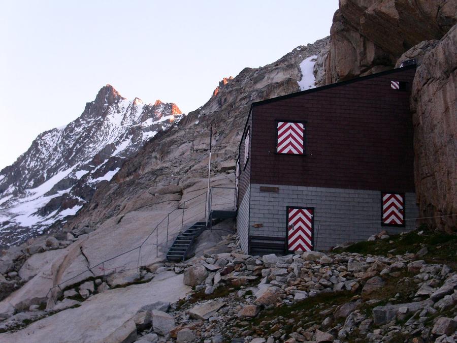
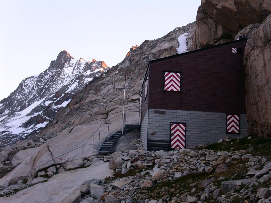
Aarbiwak (2,731 m): climb from Grimsel over moraines and glacier to an unattended bivac on rock — first night alone, unserved.

Night 1
Hut info →Book →
2
Finsteraarhornhütte SAC
Day 2 · traverse to Finsteraarhornhütte SAC
↔ 3 km↑ 195 m↓ 17 m◷ 1–2 h

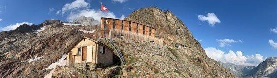
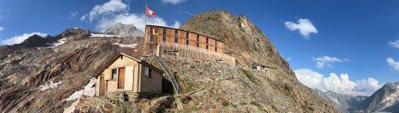
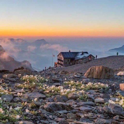
Finsteraarhornhütte (3,048 m): cross Finsteraargletscher to this steel and wood hut (rebuilt 2003), perched meters above Fieschergletscher — the second-longest glacier in the Alps — directly below Finsteraarhorn (4,274 m), highest mountain in the Bernese Oberland.

3
Oberaarjochhütte SAC
Day 3 · traverse to Oberaarjochhütte SAC
↔ 24.3 km↑ 764 m↓ 890 m◷ 9–10 h

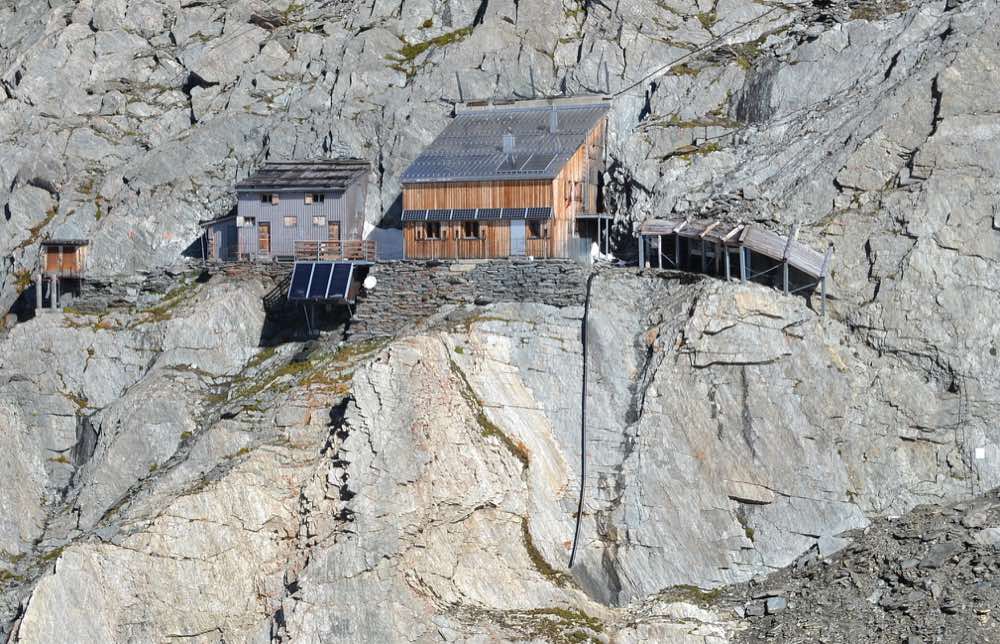
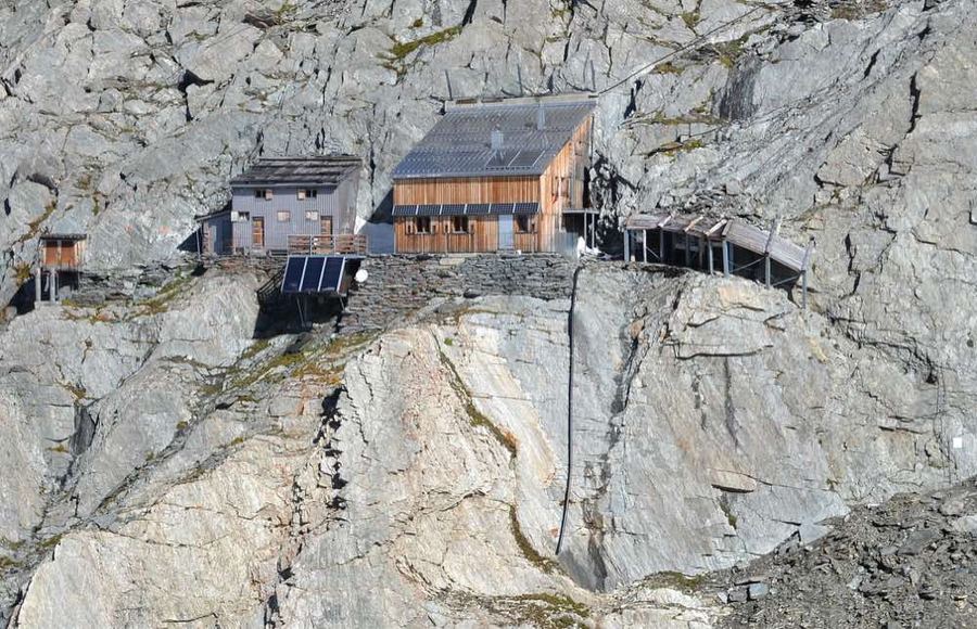
Oberaarjochhütte (3,258 m): traverse to the round's highest hut, the swallow's nest above a cliff with access via ladders and rock gallery; views over Oberaargletscher.

4
Lauteraarhütte SAC
Day 4 · traverse to Lauteraarhütte SAC
↔ 16 km↑ 643 m↓ 712 m◷ 6–7 h

Lauteraarhütte (2,393 m): descend over ice to the hut on a rocky island above Unteraargletscher — the fourth-largest glacier in Swiss Alps. Once stood at the snout, now crowns a 200 m rock wall; the glacier has retreated.

5
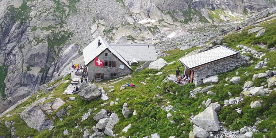
Gelmerhütte SAC
Day 5 · traverse to Gelmerhütte SAC
↔ 4.8 km↑ 109 m↓ 586 m◷ 2–3 h

Gelmerhütte (2,412 m): cross above the turquoise Gelmersee and return to Grimsel; those descending from the lake can ride down on Gelmerbahn, at 106 % gradient Europe's steepest open cable car.

Descent to the valley · Oberwald
The loop closes back at the starting village — approximate destination, lodging below.
Oberwald
After the trek · lodging
Stay an extra day in Oberwald
Hotels and guesthouses in Oberwald · Booking.com
Booking.com →
Route alert
Want the whole route on one date?
Leave your e-mail. We’ll write as soon as every hut on the route lines up with no gaps — with the dates straight to your calendar.

What to pack

Sleeping bag liner
Sleeping bag liner
Required in huts
Browse at 4camping →
Hiking boots
Hiking boots
Ankle-high, category B–C
Browse at 4camping →
Waterproof jacket
Waterproof jacket
Hardshell, 3-layer
Browse at 4camping →
Backpack 30–40 l
Backpack 30–40 l
Multi-day, with rain cover
Browse at 4camping →
Trekking poles
Trekking poles
Foldable
Browse at 4camping →
Headlamp
Headlamp
Rechargeable
Browse at 4camping →
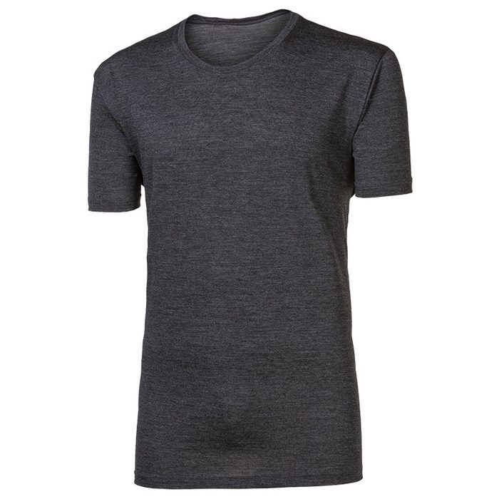
Layered clothing
Layered clothing
Merino + fleece
Browse at 4camping →
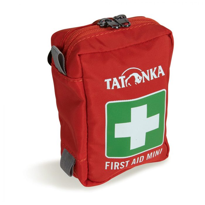
First-aid kit
First-aid kit
+ emergency blanket
Browse at 4camping →

Handy before you go

tips from verified partners
View on GetYourGuide
Partner · experiences
Tours and activities nearby
Guided tours, via ferratas and trips around Oberwald — book online.
View on GetYourGuide →
Get Revolut
Partner · payments
No foreign-currency fees
A card for fee-free payments and withdrawals along the whole route — exchange rate with no markup.
Get Revolut →
Buy an eSIM on Airalo
Partner · connectivity
eSIM data in the Alps
Mobile data without roaming for the whole trek, activated in a minute.
Buy an eSIM on Airalo →

Frequently asked questions

Is this a hiking trail or a mountaineering route?+
It is an expert Hochtour — a high-altitude glacier round, not a marked hiking path. It crosses Finsteraargletscher, Oberaargletscher, and other glacier fields. Without crampons, ice axe, rope, harness, and glacier experience, do not come here.
How long and what is the elevation gain?+
About 55 km, 3,800 m of ascent, divided into five days. Most of the route is high above the snow line, the vast majority across ice and rock.
Where does the round start and end?+
Start and finish is Grimsel Hospice above the Grimsel reservoir lakes, reached in season by postal bus over Grimselpass. It is a closed loop — you finish where you began.
Which huts does the route pass?+
Five SAC huts: Aarbiwak bivac (2,731 m), Finsteraarhornhütte (3,048 m), Oberaarjochhütte (3,258 m), Lauteraarhütte (2,393 m), and Gelmerhütte (2,412 m).
Which hut is highest?+
Oberaarjochhütte at 3,258 m — the round's highest hut. Access goes via ladders and rock gallery; it retains old mountain character and is nicknamed the swallow's nest.
What equipment do I need?+
Complete glacier gear: crampons, ice axe, harness, rope, and crevasse rescue equipment. Plus the ability to actually use it all. This is not a route where good boots suffice.
When is the best time to go?+
July and August. Huts operate roughly from late June through mid-September and glaciers are most navigable then. Expect snow at high passes even in August.
How do I book the huts?+
All huts are run by Schweizer Alpen-Club (SAC) and book in advance, each separately, online via sac-cas.ch. Peak season often fills up, so do not hesitate. Outside season only a winter shelter is open.
Will I climb Finsteraarhorn?+
Not automatically. The route passes below Finsteraarhorn (4,274 m, highest mountain in the Bernese Oberland), not over its summit. Summiting is a separate Hochtour up the normal route from Finsteraarhornhütte for those adding an extra day.
Can a beginner do this?+
No. Difficulty is expert. Those without previous easier glacier tours and who cannot move safely in a rope team should go with a mountain guide, or choose a höhenweg without glaciers.
Are there via ferratas on the route?+
No, there are no classic secured climbing paths here. Challenge comes from glacier travel, traverses, and altitude. The ladders at Oberaarjochhütte are access to the hut, not a via ferrata.
What is Aarbiwak?+
A bivac — an unattended shelter on rock at 2,731 m, where you sleep alone, with no staff and no meal service. The first night of the round, a clear signal of what you are getting into.
Why is this area so exceptional?+
The entire Aar massif and surrounding glaciers have been part of UNESCO World Heritage Jungfrau-Aletsch since 2001. Neighboring Fieschergletscher is the second-longest glacier in the Alps and Unteraargletscher below Lauteraarhütte is the fourth-largest in Switzerland.
What is Gelmerbahn at the finish?+
A cable car from Gelmer Lake, at 106 % gradient the steepest open cable car of its kind in Europe. Originally a construction cable way to the Gelmer dam built in 1926, it now carries tourists in open red cars backward down into the valley.

Similar routes

Show all routes →
BärentrekModerate
Bärentrek
Bernese Alps
100 km6 days
Finsteraarhorn Weekend CircuitExpert
Finsteraarhorn Weekend Circuit
Bernese Alps
32 km2-3 days
Bernese Oberland Week-Long CircuitExpert
Bernese Oberland Week-Long Circuit
Bernese Alps
78 km7 days