🇮🇹Italy · Ortler / South Tyrol

Ortler Five-Day Circuit

Multi-day hut-to-hut trek across Alpenverein huts
Ortler Five-Day Circuit
Hard TraverseVia ferrata
nardi1987 · CC BY 3.0
70 km
Distance
+4,800 m
Ascent
5 days
Duration
4
Huts
Best time: July – September
Check hut availability →
Download GPX ↓

About the route

Highest point
3,029 m
Huts on the route
4 × hut
Secured sections
Via ferrata K2 · avoidable
Best time
July – September

The route at a glance

Elevation profile
↑ 4,419 m ascent↓ 4,597 m descent57.4 km3,750 m summit
120025003800Cevedale "Guido Larcher" · 2608 mJulius Payer Hütte (Rif. Julius Payer) · 3029 mMarteller Hütte · 2585 mSaènt "Silvio Dorigoni" · 2436 m0 km11 km23 km34 km46 km57 km
Line colour = gradient (green gentle → red steep). Dots = huts. Route: © OpenStreetMap (ODbL), elevations from mapy.com.
Route mapOpen full map ↗

Plan and book

Live availability · Alpenverein

Pick a start date — for every night on the route you instantly see the free beds and book directly through the official Alpenverein system.


Choose start date
How many staying overnight
1
„free" = beds for the whole group
MonTueWedThuFriSatSun
All huts freePartly freeSelected
Start · arrival
Stilfs
◎ Plan arrival
Stilfs
Before the start · lodging
Stay overnight in Stilfs
Hotels and guesthouses in Stilfs · Booking.com
Booking.com →
1
Cevedale "Guido Larcher"
Day 1 · traverse to Cevedale "Guido Larcher"
↔ 15.9 km↑ 1918 m↓ 602 m◷ 9–10 h

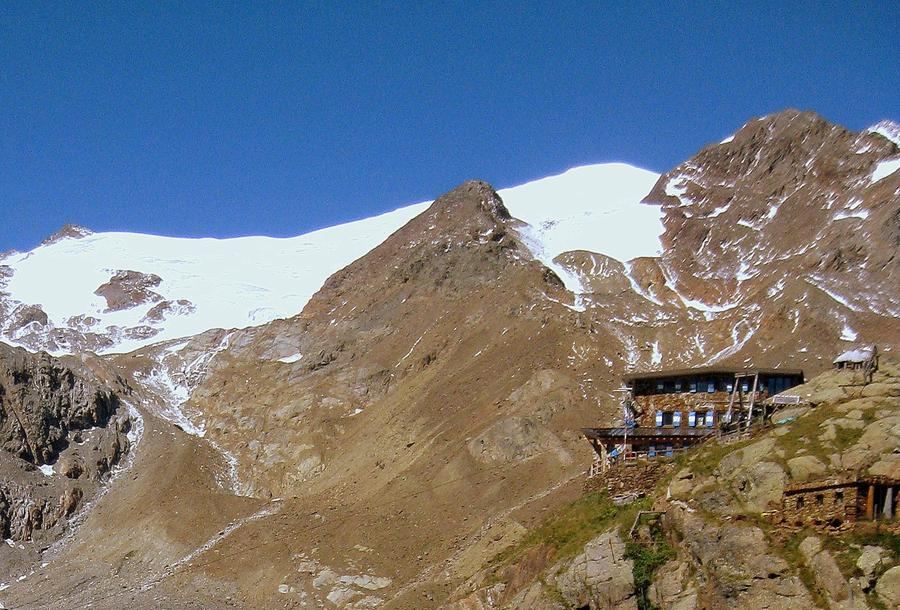
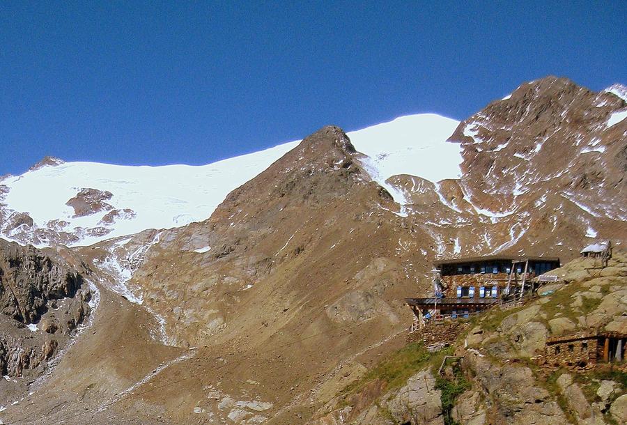
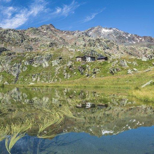
Climb from Sulden to Rifugio Cevedale "Guido Larcher" (2608 m) in the heart of the Ortler group. Run by the Trento SAT club, it opened in August 1892 — one of the region's oldest huts, surrounded by glaciers in the rear Val Venezia within the Stelvio National Park.

2
Julius Payer Hütte (Rif. Julius Payer)
Day 2 · traverse to Julius Payer Hütte (Rif. Julius Payer)
↔ 8.6 km↑ 738 m↓ 1095 m◷ 5–6 h🪝 ferrata K2 · lze obejít

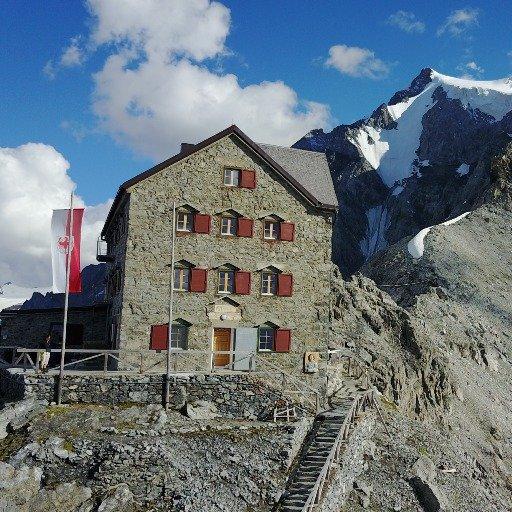
Traverse the Tabaretta ridge to Julius Payer Hütte (3029 m), perched like a swallow's nest directly below Ortler — the loop's dramatic climax. Built in 1875, the hut honours Julius Payer, who mapped the Ortler Alps and found the king's standard route; the front ran at this altitude during World War I.

3
Day 3 · traverse to Etapa 3 (chata mimo náš systém)
↔ 15.3 km↑ 631 m↓ 1207 m◷ 6–7 h

Descend from Ortler to the Prova hut on the massif's eastern side. A quieter traverse away from glacier faces, with views back across the north walls of the king.

Etapa 3 (chata mimo náš systém) 2600 m
Valley village · lodging via Booking.com
Booking.com →
4
Marteller Hütte
Day 4 · traverse to Marteller Hütte
↔ 17.5 km↑ 1132 m↓ 1693 m◷ 9–10 h

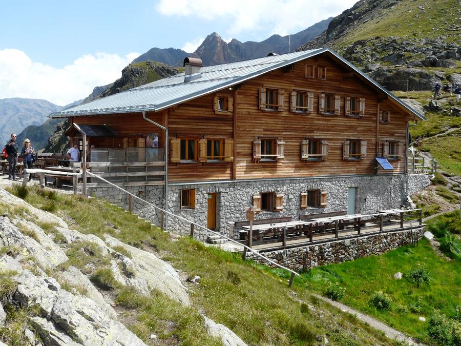
Traverse into the Martell valley toward Marteller Hütte (2610 m) — a quieter stage among glacier giants. Built by the South Tyrolean Alpenverein in 1980, it sits amid fifteen 3000-m peaks, including Monte Cevedale (3769 m) and Zufallspitze (3757 m).

5
Saènt "Silvio Dorigoni"
Day 5 · traverse to Saènt "Silvio Dorigoni"

Cross the Saènt saddle (2965 m) into Val di Rabbi toward Saènt "Silvio Dorigoni" hut and back beneath Ortler. The hut honours Silvio Dorigoni, SAT president, who once identified the site for Larcher's hut in stage one.

Descent to the valley · Stilfs
The loop closes back at the starting village — approximate destination, lodging below.
Stilfs
After the trek · lodging
Stay an extra day in Stilfs
Hotels and guesthouses in Stilfs · Booking.com
Booking.com →
Route alert
Want the whole route on one date?
Leave your e-mail. We’ll write as soon as every hut on the route lines up with no gaps — with the dates straight to your calendar.

What to pack

Sleeping bag liner
Sleeping bag liner
Required in huts
Browse at 4camping →
Hiking boots
Hiking boots
Ankle-high, category B–C
Browse at 4camping →
Waterproof jacket
Waterproof jacket
Hardshell, 3-layer
Browse at 4camping →
Backpack 30–40 l
Backpack 30–40 l
Multi-day, with rain cover
Browse at 4camping →
Trekking poles
Trekking poles
Foldable
Browse at 4camping →
Headlamp
Headlamp
Rechargeable
Browse at 4camping →
Via ferrata set
Via ferrata set
Shock absorber + carabiners
Browse at 4camping →
Climbing helmet
Climbing helmet
Light, for via ferrata
Browse at 4camping →

Handy before you go

tips from verified partners
View on GetYourGuide
Partner · experiences
Tours and activities nearby
Guided tours, via ferratas and trips around Stilfs — book online.
View on GetYourGuide →
Get Revolut
Partner · payments
No foreign-currency fees
A card for fee-free payments and withdrawals along the whole route — exchange rate with no markup.
Get Revolut →
Buy an eSIM on Airalo
Partner · connectivity
eSIM data in the Alps
Mobile data without roaming for the whole trek, activated in a minute.
Buy an eSIM on Airalo →

Frequently asked questions

How long is the Ortler five-day loop and how much elevation?+
Roughly 70 km and about 4800 m of elevation gain across five days. Start and end in Sulden (Solda) beneath Ortler.
How hard is this route? Can a regular trekker handle it?+
Difficulty is hard. Terrain stays high, crossing moraines, saddles, and glacier facings, with several days above 3000 m. Requires solid footing, good fitness, and high-altitude mountain experience. Not a route for a first multi-day trek.
Does the route cross any via ferrata?+
No. This loop has no protected ferrata sections. The challenge comes from altitude, distance, and alpine terrain, not iron rungs in rock.
How many days should I schedule?+
Five days for the loop itself. Add a day to reach Sulden and a weather buffer — conditions at three thousand meters can shift in an hour.
Which huts appear on the route?+
Rifugio Cevedale "Guido Larcher" (2608 m), Julius Payer Hütte / Rifugio Julius Payer (3029 m), the Prova hut on the massif's east side, Marteller Hütte (2610 m), and Saènt "Silvio Dorigoni" in Val di Rabbi.
How do I reserve huts?+
Huts belong to alpine clubs — South Tyrolean Alpenverein (AVS) and Trento's SAT. Reserve in advance directly with the hut or through Alpenverein's system. High season, especially at Payer Hütte, fills fast.
What's the best season for this trek?+
Roughly late June through mid-September. Before that, snow blocks high passes; after, glacier huts close and weather deteriorates.
Where does the loop start and end?+
Sulden (Italian: Solda), a village beneath Ortler's north face in the Stelvio National Park. A true loop — you return to the same place.
How high is Ortler and why is it famous?+
Ortler stands at 3905 m, the highest peak in South Tyrol and the highest in the Eastern Alps outside the Bernina. Germans call it König Ortler — the King. First summited 27 September 1804.
Will I climb Ortler's summit on this route?+
The loop circles the massif but doesn't necessarily reach the summit. The standard Ortler ascent from Julius Payer Hütte is a glacier climb requiring crampons and rope — a separate undertaking, ideally with a guide.
What is Dreigestirn in the Ortler context?+
"The trinity" — three glacier peaks forming the iconic silhouette: Ortler (3905 m), Königspitze (3851 m), and Monte Zebrù (3735 m).
What gear do I need?+
Layered clothing for variable high-altitude weather, solid boots, a five-day pack, and sleeping bag / liner per hut policy. For glacier summits, add crampons, ice axe, and rope — bring a guide.

Similar routes

Show all routes →
Alta Via 1Moderate
Alta Via 1
Dolomites
140 km7-12 days
Alta Via 4Expert
Alta Via 4
Dolomites
100 km6 days
Meran High TrailModerate
Meran High Trail
South Tyrol
92 km5-8 days