🇦🇹Austria · Ötztal Alps

Ötztal Hut Circuit

Multi-day hut-to-hut trek across Alpenverein huts
Ötztal Hut Circuit
Hard Traverse
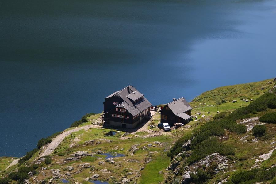
David W. Hogg · BY 2.0
72 km
Distance
+5,800 m
Ascent
7 days
Duration
7
Huts
Best time: July – September
Check hut availability →
Download GPX ↓

About the route

Highest point
2,817 m
Huts on the route
7 × hut
Terrain
High alpine
Best time
July – September

The route at a glance

Elevation profile
↑ 6,182 m ascent↓ 5,797 m descent76.9 km3,562 m summit
130025003600Langtalereckhütte · 2450 mMartin-Busch-Hütte · 2501 mHochjoch Hospiz · 2413 mVernagthütte · 2755 mTaschachhaus · 2434 mGepatschhaus · 1928 mKaunergrathütte · 2817 m0 km15 km31 km46 km62 km77 km
Line colour = gradient (green gentle → red steep). Dots = huts. Route: © OpenStreetMap (ODbL), elevations from mapy.com.
Route mapOpen full map ↗

Plan and book

Live availability · Alpenverein

Pick a start date — for every night on the route you instantly see the free beds and book directly through the official Alpenverein system.


Choose start date
How many staying overnight
1
„free" = beds for the whole group
MonTueWedThuFriSatSun
All huts freePartly freeSelected
Start · arrival
Sölden
◎ Plan arrival
Sölden
Before the start · lodging
Stay overnight in Sölden
Hotels and guesthouses in Sölden · Booking.com
Booking.com →
1
Langtalereckhütte
Day 1 · traverse to Langtalereckhütte
↔ 0 km◷ ~1 h

Ascent from Obergurgl up Langtal valley to Langtalereckhütte (2480 m) — a gradual entry into the high-altitude loop.

2
Martin-Busch-Hütte
Day 2 · traverse to Martin-Busch-Hütte
↔ 14.3 km↑ 1365 m↓ 1297 m◷ 8–9 h

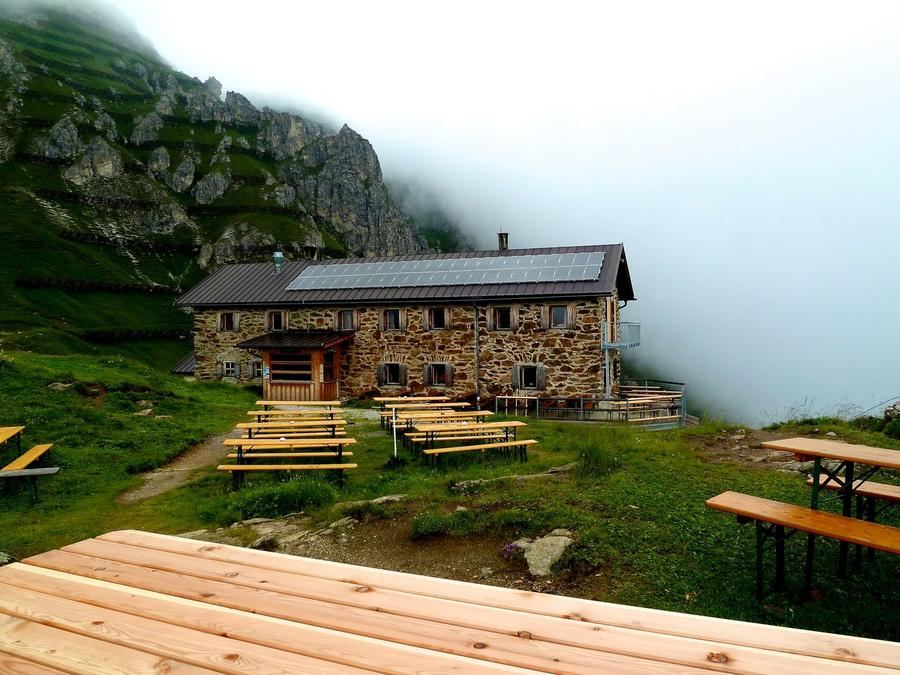
Pass crossing into Niedertal valley to Martin-Busch-Hütte (2501 m) below glacier-hung Similaun. From here a half day's walk reaches Tisenjoch, where Ötzi lay five thousand years.

3
Hochjoch Hospiz
Day 3 · traverse to Hochjoch Hospiz
↔ 8.5 km↑ 947 m↓ 1037 m◷ 5–6 h

Ridge stage to Hochjoch Hospiz in Rofental. A mountain priest built the original hut 1869–1872; today's hut has stood since 1927.

4
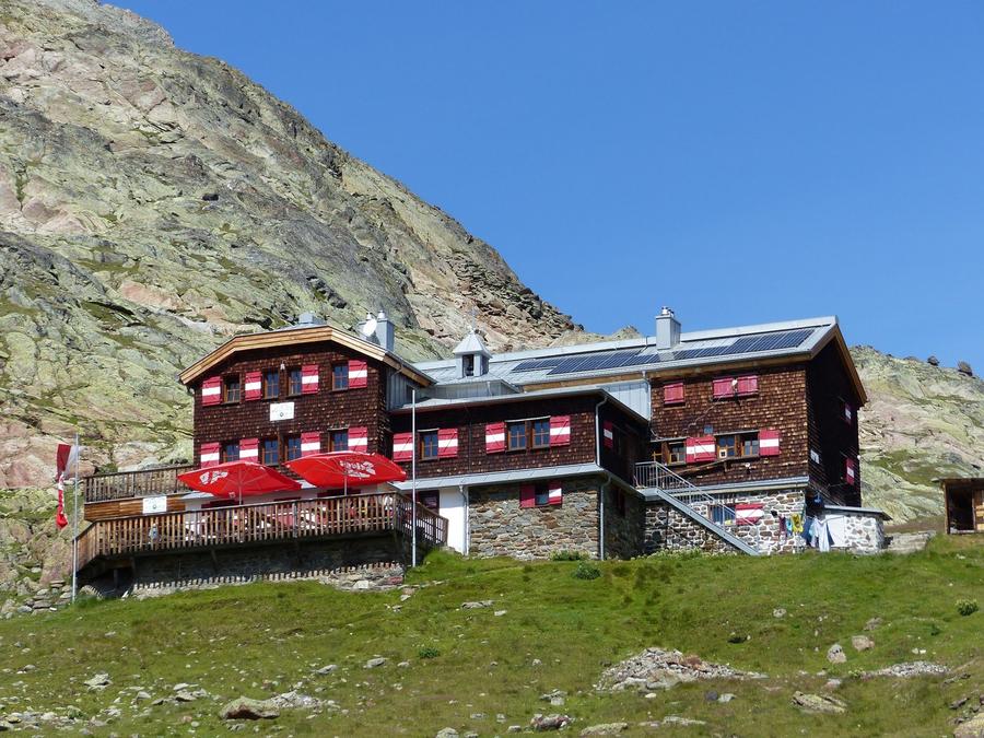
Vernagthütte
Day 4 · traverse to Vernagthütte
↔ 5.1 km↑ 406 m↓ 58 m◷ 2–3 h

Ascent to Vernagthütte (2755 m) from 1901, wedged between glaciers Guslarferner and Vernagtferner — one of the Alps' longest scientifically monitored glaciers.

Night 4
Hut info →Book →
5
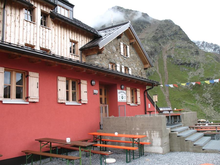
Taschachhaus
Day 5 · traverse to Taschachhaus
↔ 18.7 km↑ 1095 m↓ 1416 m◷ 9–10 h

Pass crossing into Pitztal to Taschachhaus (2434 m), the Alpenverein's training base at a glacier snout and classic launch for Wildspitze (3768 m).

Night 5
Hut info →Book →
6
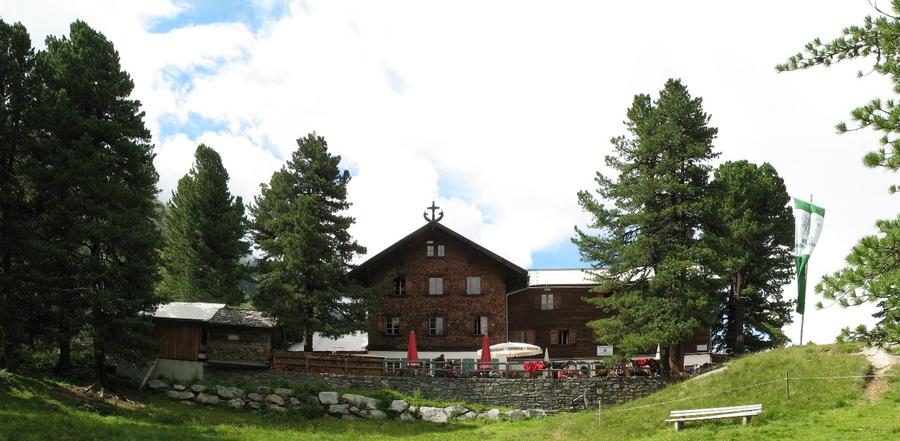
Gepatschhaus
Day 6 · traverse to Gepatschhaus
↔ 8.8 km↑ 678 m↓ 1187 m◷ 5–6 h

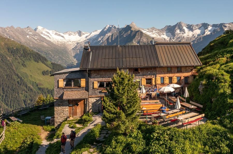
Descent into Kaunerstal to Gepatschhaus (1928 m) — Austria's very first Alpenverein hut from 1873, now heritage-protected.

Night 6
Hut info →Book →
7
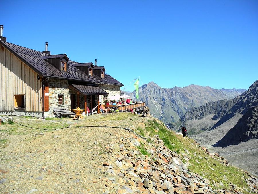
Kaunergrathütte
Day 7 · traverse to Kaunergrathütte
↔ 21.5 km↑ 1691 m↓ 802 m◷ 10–11 h

Ascent to Kaunergrathütte (2817 m), the loop's highest point with panorama over all of Kaunerrat, then return to Obergurgl.

Descent to the valley · Sölden
The loop closes back at the starting village — approximate destination, lodging below.
Sölden
After the trek · lodging
Stay an extra day in Sölden
Hotels and guesthouses in Sölden · Booking.com
Booking.com →
Route alert
Want the whole route on one date?
Leave your e-mail. We’ll write as soon as every hut on the route lines up with no gaps — with the dates straight to your calendar.

What to pack

Sleeping bag liner
Sleeping bag liner
Required in huts
Browse at 4camping →
Hiking boots
Hiking boots
Ankle-high, category B–C
Browse at 4camping →
Waterproof jacket
Waterproof jacket
Hardshell, 3-layer
Browse at 4camping →
Backpack 30–40 l
Backpack 30–40 l
Multi-day, with rain cover
Browse at 4camping →
Trekking poles
Trekking poles
Foldable
Browse at 4camping →
Headlamp
Headlamp
Rechargeable
Browse at 4camping →
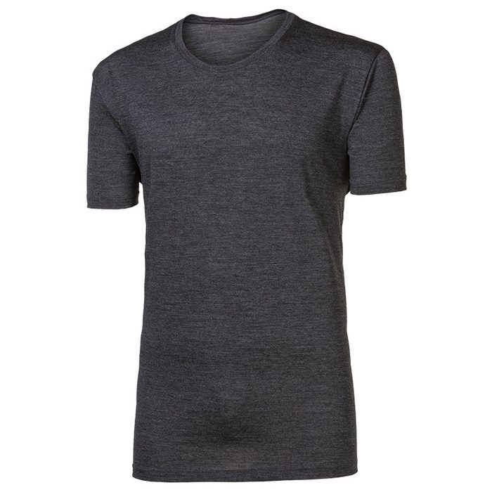
Layered clothing
Layered clothing
Merino + fleece
Browse at 4camping →
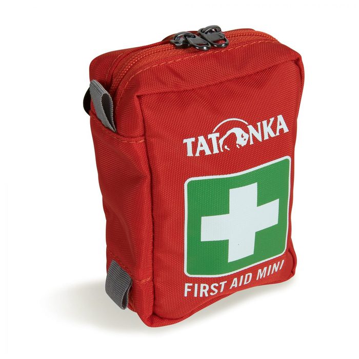
First-aid kit
First-aid kit
+ emergency blanket
Browse at 4camping →

Handy before you go

tips from verified partners
View on GetYourGuide
Partner · experiences
Tours and activities nearby
Guided tours, via ferratas and trips around Sölden — book online.
View on GetYourGuide →
Get Revolut
Partner · payments
No foreign-currency fees
A card for fee-free payments and withdrawals along the whole route — exchange rate with no markup.
Get Revolut →
Buy an eSIM on Airalo
Partner · connectivity
eSIM data in the Alps
Mobile data without roaming for the whole trek, activated in a minute.
Buy an eSIM on Airalo →

Frequently asked questions

How long is Ötztaler Hüttenrunde and how much ascent?+
The loop is roughly 72 kilometres with around 5800 metres of ascent spread over seven daily stages — demanding but manageable high-altitude week.
How many days does the route take?+
Classically seven days, sleeping at seven huts. Start and finish is Obergurgl, so it's a closed loop.
How difficult is the route? Suitable for beginners?+
Difficulty is high. The route crosses high-altitude terrain with passes and stays near glaciers, requires a sure foot and experience. Not for an Alpine trek beginner — less experienced should consider a mountain guide.
Which huts does the loop pass?+
In order: Langtalereckhütte (2480 m), Martin-Busch-Hütte (2501 m), Hochjoch Hospiz, Vernagthütte (2755 m), Taschachhaus (2434 m), Gepatschhaus (1928 m) and Kaunergrathütte (2817 m).
How do you reach Ötzi's discovery site?+
From Martin-Busch-Hütte it's roughly a half day's walk to Tisenjoch at 3210 metres, where the ice released a five-thousand-year-old mummy in 1991. The original is now displayed in Bolzano's museum.
When is best time to go?+
End of June through mid to late September. Outside this window expect snow and closed huts.
How do you book huts?+
Through the Austrian Alpenverein portal (alpenverein.at), each hut separately. Summer sees huts fill; book well ahead.
Is Alpenverein membership worth it?+
Yes. Members pay less for hut nights, get priority if full, and membership includes mountain rescue insurance, useful in this glacier terrain.
Is glacier gear required?+
The main loop follows marked paths, but the route stays close to glaciers and crosses high passes. If uncertain about conditions or wanting to add a summit like Wildspitze, count on crampons, rope and ideally a mountain guide.
Where is the loop's highest point?+
Highest you get is Kaunergrathütte at 2817 m on day seven, with panorama over all of Kaunerrat. Wildspitze (3768 m) towers above the loop — highest peak of the Ötztal Alps.
What's special about Gepatschhaus?+
It's Austria's very first Alpenverein hut, opened 1873, now heritage-protected. It stands where Gepatschferner's glacier tongue once ended.
Where does the loop start and finish?+
Start and finish is Obergurgl in remote upper Ötztal in Tyrol. It's a closed loop, so you return to the same place you left.

Similar routes

Show all routes →
Berliner HöhenwegHard
Berliner Höhenweg
Zillertal Alps
90 km8-9 days
Stubaier HöhenwegHard
Stubaier Höhenweg
Stubai Alps
83 km8 days
Schladminger Tauern HöhenwegModerate
Schladminger Tauern Höhenweg
Low Tauern
76 km5-7 days