🇦🇹Austria · Rätikon

Rätikon Höhenweg

Multi-day hut-to-hut trek across Alpenverein huts
Rätikon Höhenweg
Moderate TraverseVia ferrata
© Lindauer Hütte · hut-reservation.org
55 km
Distance
+3,500 m
Ascent
4-5 days
Duration
3
Huts
Best time: July – September
Check hut availability →
Download GPX ↓

About the route

Highest point
Huts on the route
3 × hut
Secured sections
Via ferrata K2 · avoidable
Best time
July – September

The route at a glance

Elevation profile
↑ 2,365 m ascent↓ 2,449 m descent47.6 km2,322 m summit
60015002400Lindauer Hütte · 1744 mCarschinahütte SAC · 2236 mSchesaplana Hütte · 1908 m0 km10 km19 km29 km38 km48 km
Line colour = gradient (green gentle → red steep). Dots = huts. Route: © OpenStreetMap (ODbL), elevations from mapy.com.
Route mapOpen full map ↗

Plan and book

Live availability · Alpenverein

Pick a start date — for every night on the route you instantly see the free beds and book directly through the official Alpenverein system.


Choose start date
How many staying overnight
1
„free" = beds for the whole group
MonTueWedThuFriSatSun
All huts freePartly freeSelected
Start · arrival
Vandans
◎ Plan arrival
Vandans
Before the start · lodging
Stay overnight in Vandans
Hotels and guesthouses in Vandans · Booking.com
Booking.com →
1
Lindauer Hütte
Day 1 · traverse to Lindauer Hütte
↔ 9.5 km↑ 528 m↓ 776 m◷ 4–5 h

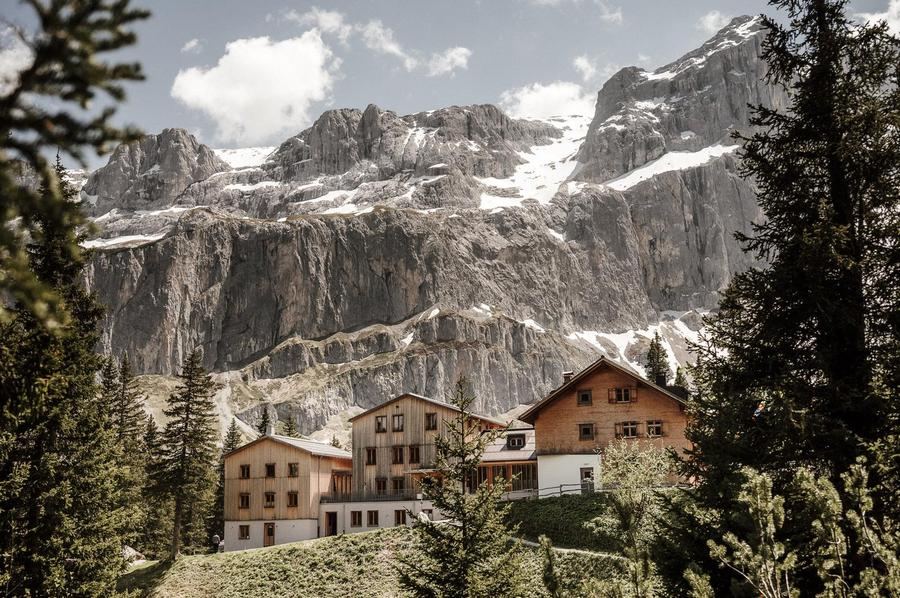
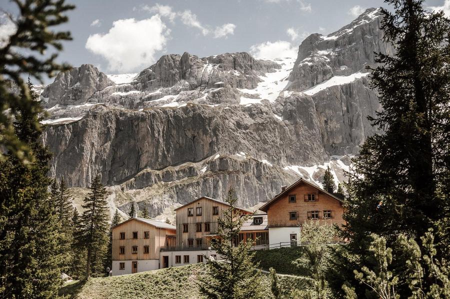
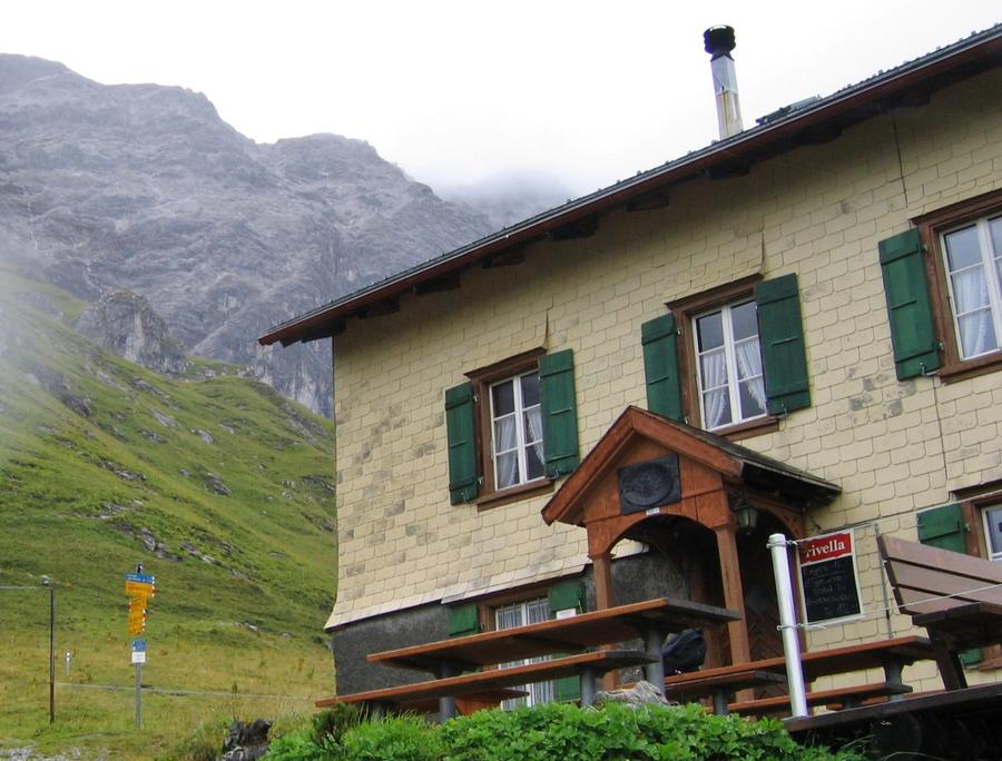
Lindauer Hütte (1744 m): an Alpenverein hut directly below the southern walls of Drei Türme and Sulzfluh. On the way you pass the stone gateway Schweizer Tor, where an old customs station still stands.

2
Carschinahütte SAC
Day 2 · traverse to Carschinahütte SAC
↔ 24.9 km↑ 544 m↓ 1656 m◷ 9–10 h

Carschinahütte SAC (2236 m): Swiss Alpine Club hut on the Prättigau side, reached via Drusentor pass. From here you see Drusenfluh "from behind" — and historically this route followed smuggler paths via Groubapass and Plaseggapass.

3
Schesaplana Hütte
Day 3 · traverse to Schesaplana Hütte
↔ 13.3 km↑ 1293 m↓ 17 m◷ 6–7 h

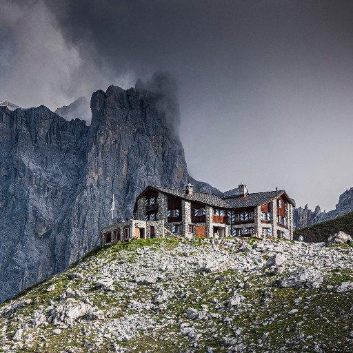
Schesaplanahütte (1908 m): the last hut before the summit. From here runs the final, partially secured climb via Schesaplanasattel to Schesaplana (2965 m), Rätikon's highest mountain with views into three countries.

Descent to the valley · Vandans
The loop closes back at the starting village — approximate destination, lodging below.
Vandans
After the trek · lodging
Stay an extra day in Vandans
Hotels and guesthouses in Vandans · Booking.com
Booking.com →
Route alert
Want the whole route on one date?
Leave your e-mail. We’ll write as soon as every hut on the route lines up with no gaps — with the dates straight to your calendar.

What to pack

Sleeping bag liner
Sleeping bag liner
Required in huts
Browse at 4camping →
Hiking boots
Hiking boots
Ankle-high, category B–C
Browse at 4camping →
Waterproof jacket
Waterproof jacket
Hardshell, 3-layer
Browse at 4camping →
Backpack 30–40 l
Backpack 30–40 l
Multi-day, with rain cover
Browse at 4camping →
Trekking poles
Trekking poles
Foldable
Browse at 4camping →
Headlamp
Headlamp
Rechargeable
Browse at 4camping →
Via ferrata set
Via ferrata set
Shock absorber + carabiners
Browse at 4camping →
Climbing helmet
Climbing helmet
Light, for via ferrata
Browse at 4camping →

Handy before you go

tips from verified partners
View on GetYourGuide
Partner · experiences
Tours and activities nearby
Guided tours, via ferratas and trips around Vandans — book online.
View on GetYourGuide →
Get Revolut
Partner · payments
No foreign-currency fees
A card for fee-free payments and withdrawals along the whole route — exchange rate with no markup.
Get Revolut →
Buy an eSIM on Airalo
Partner · connectivity
eSIM data in the Alps
Mobile data without roaming for the whole trek, activated in a minute.
Buy an eSIM on Airalo →

Frequently asked questions

How many days does Rätikon Höhenweg take?+
The classic loop goes four to five days with three to four nights at huts. It can be shortened or lengthened depending on whether you add Tilisunahütte and the Schesaplana summit.
How many kilometers and elevation gain?+
Roughly 55 km and around 3,500 m of climb. It's not about distance — it's about how many times you climb to a pass and descend again each day.
How difficult is it?+
Moderate difficulty. A fit mountain hike with a few secured sections and exposed passages, especially on the Schesaplana ascent. You'll manage it without rock-climbing school, but steady footing and no fear of heights required.
Is there via ferrata?+
No full via ferrata, but a few sections are equipped with cables and chains — mainly the climb to Schesaplana via Schesaplanasattel. You don't need ferrata equipment, but respect yes.
Which huts does the route pass?+
Main stops are Lindauer Hütte (1744 m) in Austria, Carschinahütte SAC (2236 m) and Schesaplanahütte (1908 m) in Switzerland. The longer variant adds Tilisunahütte and Totalphütte.
How do I book hut nights?+
Each night separately at Alpenverein huts (Austrian ÖAV, Swiss SAC), easiest online via hut-reservation.org. In peak season book weeks to months ahead — beds are limited.
When is the best time for a trek?+
July through September. Earlier brings residual snow on passes; by late September huts begin closing and weather in the heights turns unpredictable.
How many countries does the route pass through?+
Rätikon is a massif on the border of three — Austria (Vorarlberg), Switzerland (Graubünden) and Liechtenstein. During the loop you cross the AT/CH border and back, including via Drusentor.
Where does the route start and end?+
Most loops start and finish at Lake Lünersee in Montafon, where you reach it by cable car to Douglass Hütte. The route returns and closes the loop.
What's the highest peak on the route?+
Schesaplana, 2965 meters — the highest mountain of all Rätikon. You summit it on the final stage and from the top can see into three countries at once.
What is Schweizer Tor?+
A massive stone gateway in the Rätikon ridge where an old customs post still stands — a reminder of guarded borders and smuggling trails. One of the route's most powerful images.
Do I need a passport for this route?+
Austria and Switzerland are both in Schengen; borders don't require checks. Bring ID anyway — you're moving between two countries and huts sometimes ask for it.

Similar routes

Show all routes →
Berliner HöhenwegHard
Berliner Höhenweg
Zillertal Alps
90 km8-9 days
Stubaier HöhenwegHard
Stubaier Höhenweg
Stubai Alps
83 km8 days
Schladminger Tauern HöhenwegModerate
Schladminger Tauern Höhenweg
Low Tauern
76 km5-7 days