🇦🇹Austria · Schober Group (Hohe Tauern)

Schober Group Traverse

Multi-day hut-to-hut trek across Alpenverein huts
Schober Group Traverse
Hard TraverseVia ferrata
Stefan.straub · CC BY-SA 4.0
41 km
Distance
+2,450 m
Ascent
4 days
Duration
3
Huts
Best time: July – September
Check hut availability →
Download GPX ↓

About the route

Highest point
2,948 m
Huts on the route
3 × hut
Secured sections
Via ferrata A · avoidable
Best time
July – September

The route at a glance

Elevation profile
↑ 2,621 m ascent↓ 3,435 m descent37.8 km2,948 m summit
100020003000Glorer Hütte · 2642 mElberfelder Hütte · 2346 mWangenitzsee-Hütte · 2508 m0 km8 km15 km23 km30 km38 km
Line colour = gradient (green gentle → red steep). Dots = huts. Route: © OpenStreetMap (ODbL), elevations from mapy.com.
Route mapOpen full map ↗

Plan and book

Live availability · Alpenverein

Pick a start date — for every night on the route you instantly see the free beds and book directly through the official Alpenverein system.


Choose start date
How many staying overnight
1
„free" = beds for the whole group
MonTueWedThuFriSatSun
All huts freePartly freeSelected
Start · arrival
Kals am Großglockner
◎ Plan arrival
Kals am Großglockner
Before the start · lodging
Stay overnight in Kals am Großglockner
Hotels and guesthouses in Kals am Großglockner · Booking.com
Booking.com →
1
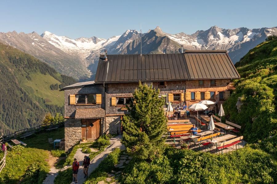
Glorer Hütte
Day 1 · Lucknerhaus (Kals) → Glorer Hütte
↔ 4.4 km↑ 740 m◷ 2–3 h

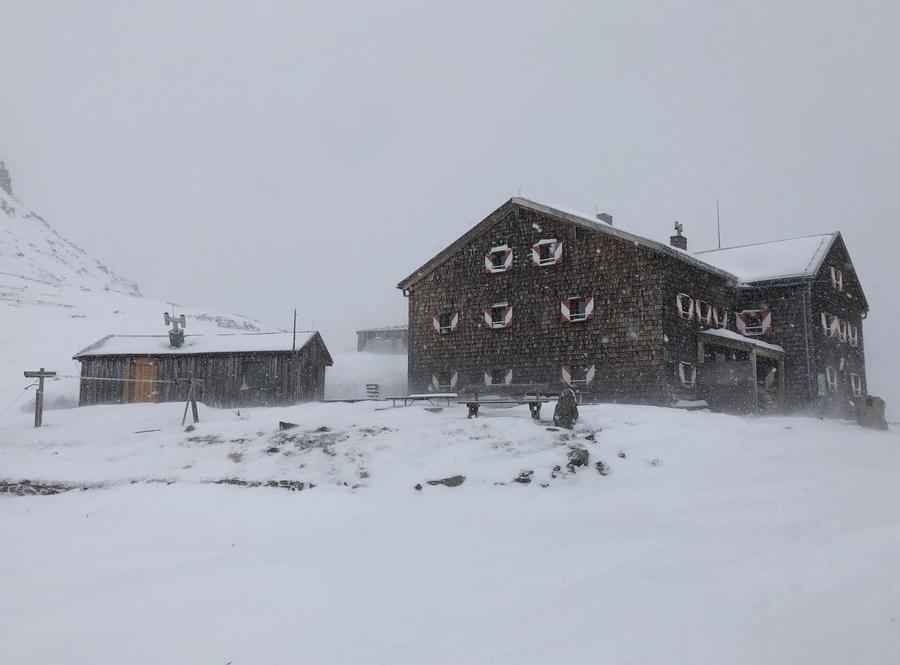
Five kilometres and 730 metres of ascent via the Schliederleralm to the Berger Törl. Switchbacks that go well even with a full pack, ending at a hut at 2,642 m on the historic pass between Kals and Heiligenblut.

Night 1
Hut info →Book →
2
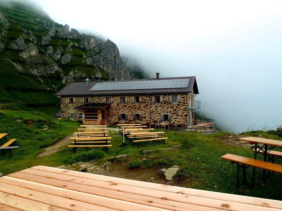
Elberfelder Hütte
Day 2 · Glorer Hütte → Elberfelder Hütte
↔ 8.8 km↑ 598 m↓ 905 m◷ 4–5 h

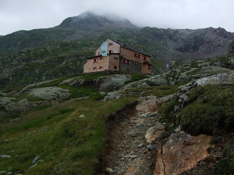
9.4 km over the Kesselkeessattel (2,926 m). Cable-secured passages, a descent into the Tramerkar and down to the head of the Gößnitztal. Long but technically straightforward — it needs settled weather.

3
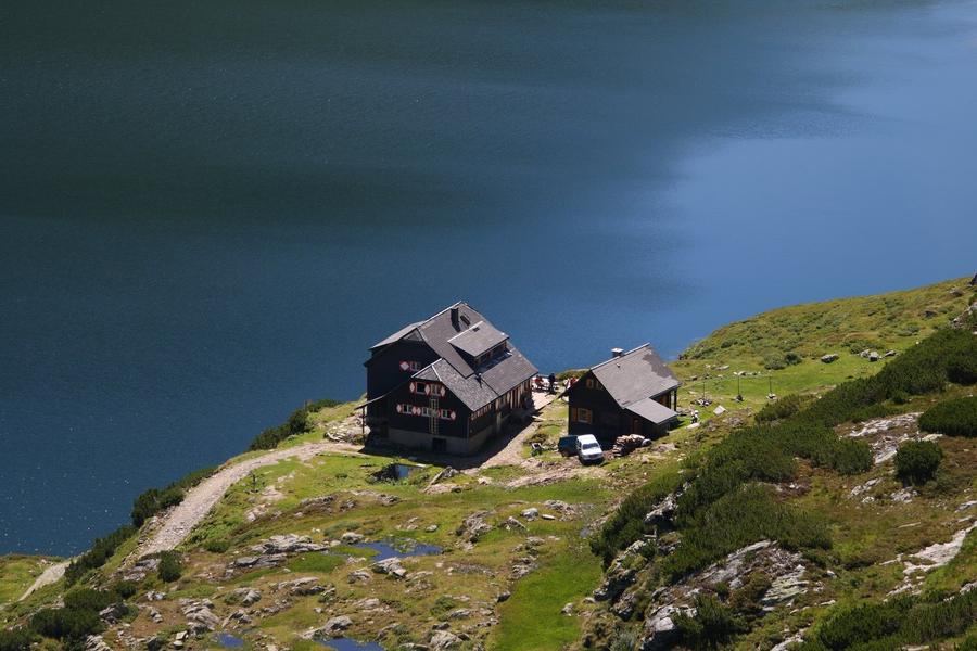
Wangenitzsee-Hütte
Day 3 · Elberfelder Hütte → Wangenitzsee-Hütte
↔ 10.2 km↑ 1148 m↓ 987 m◷ 6–7 h

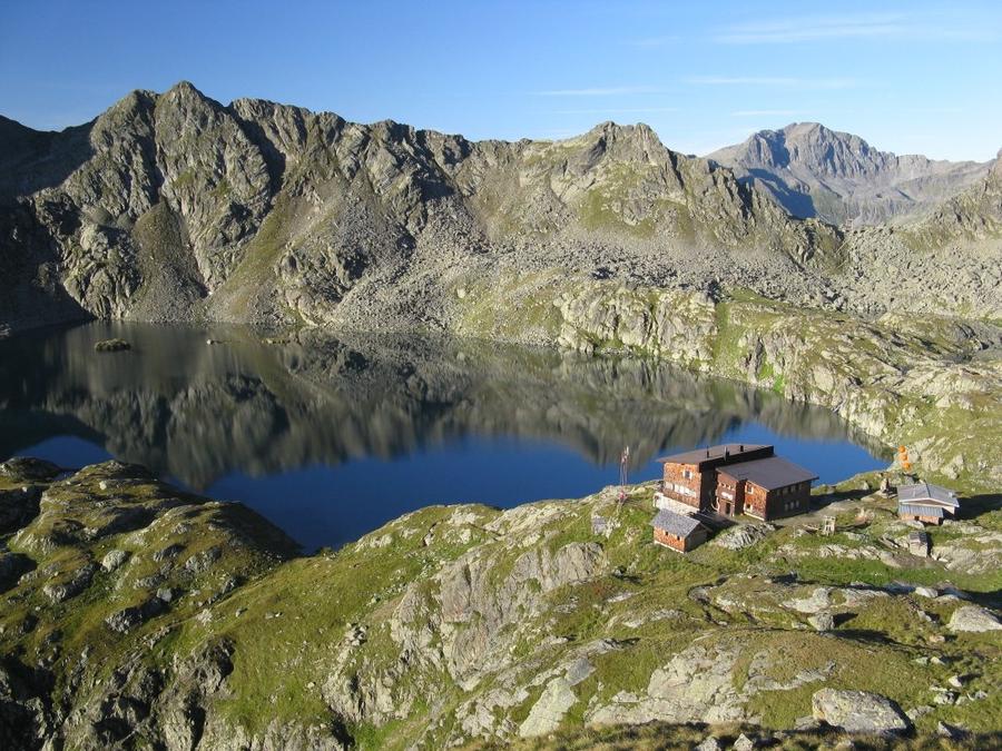
The queen stage: 12.5 km over three saddles — Gößnitzscharte (2,732 m), Untere Seescharte and Perschitztörl. A thousand metres up, eight hundred down, six hours, finishing at Lake Wangenitz.

4
Day 4 · Wangenitzsee-Hütte → Iselsberg
↔ 14.5 km↑ 135 m↓ 1543 m◷ 5–6 h

A short climb to the Obere Seescharte (2,604 m), then 1,440 metres down past the Roaner Alm to Iselsberg. Fourteen kilometres, mostly descent — poles earn their keep.

Iselsberg 1180 m
Valley village · lodging via Booking.com
Booking.com →
Descent to the valley · Iselsberg-Stronach
From the last hut you descend to the valley village — approximate destination, lodging below.
After the trek · lodging
Rest up in Iselsberg-Stronach
Hotels and guesthouses in Iselsberg-Stronach · Booking.com
Booking.com →
Route alert
Want the whole route on one date?
Leave your e-mail. We’ll write as soon as every hut on the route lines up with no gaps — with the dates straight to your calendar.

What to pack

Sleeping bag liner
Sleeping bag liner
Required in huts
Browse at 4camping →
Hiking boots
Hiking boots
Ankle-high, category B–C
Browse at 4camping →
Waterproof jacket
Waterproof jacket
Hardshell, 3-layer
Browse at 4camping →
Backpack 30–40 l
Backpack 30–40 l
Multi-day, with rain cover
Browse at 4camping →
Trekking poles
Trekking poles
Foldable
Browse at 4camping →
Headlamp
Headlamp
Rechargeable
Browse at 4camping →
Via ferrata set
Via ferrata set
Shock absorber + carabiners
Browse at 4camping →
Climbing helmet
Climbing helmet
Light, for via ferrata
Browse at 4camping →

Handy before you go

tips from verified partners
View on GetYourGuide
Partner · experiences
Tours and activities nearby
Guided tours, via ferratas and trips around Kals am Großglockner — book online.
View on GetYourGuide →
Get Revolut
Partner · payments
No foreign-currency fees
A card for fee-free payments and withdrawals along the whole route — exchange rate with no markup.
Get Revolut →
Buy an eSIM on Airalo
Partner · connectivity
eSIM data in the Alps
Mobile data without roaming for the whole trek, activated in a minute.
Buy an eSIM on Airalo →

Frequently asked questions

How many days does the Schober Group traverse take?+
In this version, four days and three nights in huts: Glorer Hütte, Elberfelder Hütte and Wangenitzsee-Hütte. Around 41 km in total and roughly 2,450 metres of ascent.
How hard is it?+
Demanding. The key stage from Elberfelder to Wangenitzsee is published as a difficult mountain path, the saddles sit between 2,700 and 2,900 m, and stages take 4.5 to 6 hours. Sure-footedness and high alpine experience are required.
Do I need a via ferrata set?+
No. There are short cable-secured sections on the Kesselkees-Sattel and on the descent into the Tramerkar, but no via ferrata. A steady step is enough.
Which huts are on the route and can they be booked online?+
Glorer Hütte (2,642 m), Elberfelder Hütte (2,346 m) and Wangenitzsee-Hütte (2,508 m). All three are in the Alpenverein reservation system and can be booked online.
Where does the route start and finish?+
It starts at the Lucknerhaus above Kals am Großglockner in East Tyrol and finishes at Iselsberg in Carinthia. It is not a loop, so plan the return to your car — or travel in and out by public transport.
When is the season?+
Roughly late June to mid-September, set by hut opening dates and by how much snow is left in the gullies below the saddles. Dates shift from year to year.
What if the weather turns?+
Saddles near 2,900 m are dangerous in thunderstorms and fog, and there is little shelter between huts. Two emergency bivouacs sit on the route, but they are for emergencies, not for planning. Build in a spare day.

Similar routes

Show all routes →
Berliner HöhenwegHard
Berliner Höhenweg
Zillertal Alps
90 km8-9 days
Stubaier HöhenwegHard
Stubaier Höhenweg
Stubai Alps
83 km8 days
Schladminger Tauern HöhenwegModerate
Schladminger Tauern Höhenweg
Low Tauern
76 km5-7 days