🇦🇹Austria · Ankogel Group (Hohe Tauern)

Ankogel: Mallnitz to Maltatal

Multi-day hut-to-hut trek across Alpenverein huts
Ankogel: Mallnitz to Maltatal
Moderate TraverseVia ferrata
JakobZ · CC BY-SA 3.0
33 km
Distance
+1,830 m
Ascent
3 days
Duration
2
Huts
Best time: July – September
Check hut availability →
Download GPX ↓

About the route

Highest point
2,673 m
Huts on the route
2 × hut
Secured sections
Via ferrata A · avoidable
Best time
July – September

The route at a glance

Elevation profile
↑ 1,526 m ascent↓ 2,044 m descent34.4 km2,673 m summit
80018002700Arthur-von-Schmid-Haus · 2281 mGiessener Hütte · 2215 m0 km7 km14 km21 km28 km34 km
Line colour = gradient (green gentle → red steep). Dots = huts. Route: © OpenStreetMap (ODbL), elevations from mapy.com.
Route mapOpen full map ↗

Plan and book

Live availability · Alpenverein

Pick a start date — for every night on the route you instantly see the free beds and book directly through the official Alpenverein system.


Choose start date
How many staying overnight
1
„free" = beds for the whole group
MonTueWedThuFriSatSun
All huts freePartly freeSelected
Start · arrival
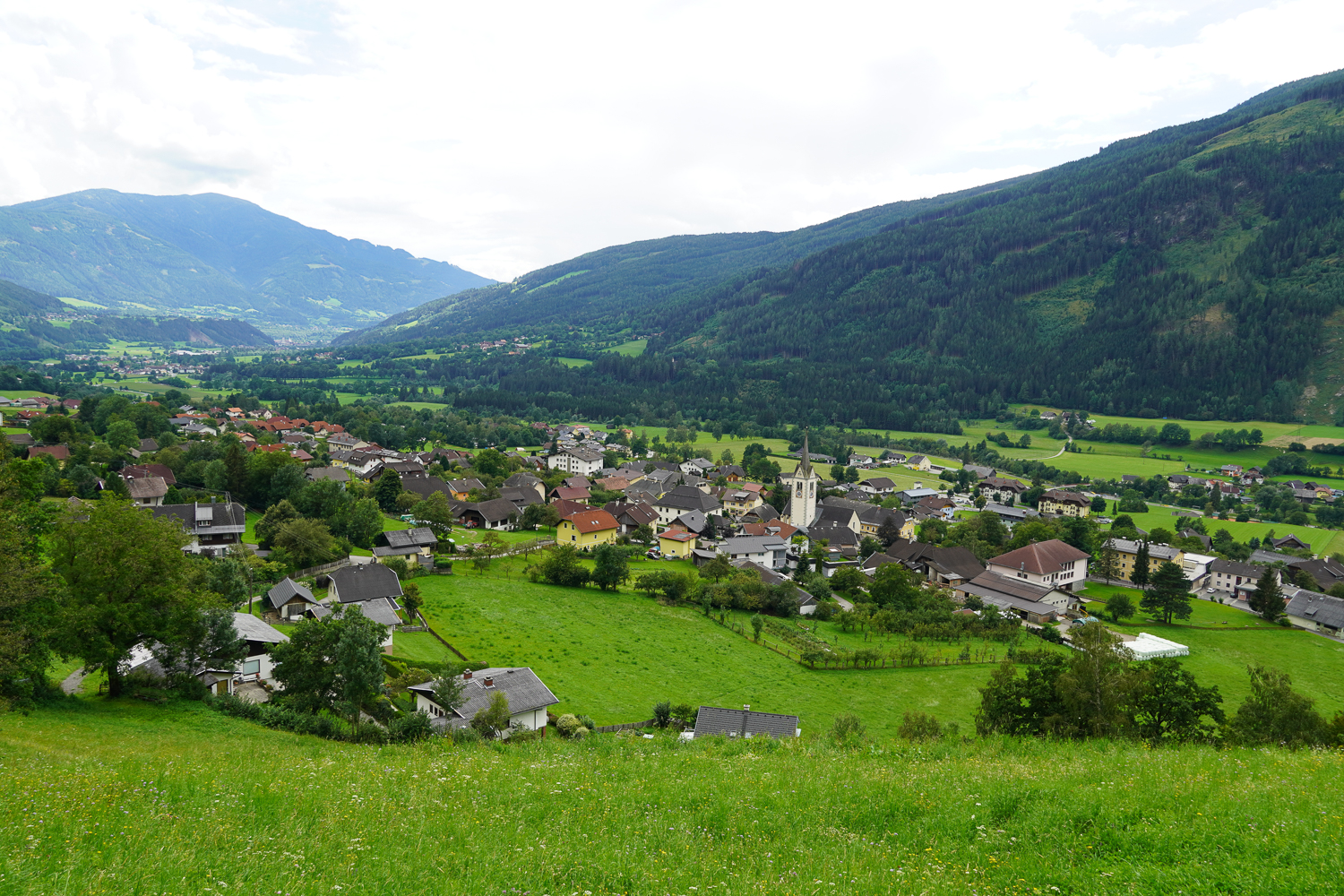
Mallnitz
◎ Plan arrival
Mallnitz
Before the start · lodging
Stay overnight in Mallnitz
Hotels and guesthouses in Mallnitz · Booking.com
Booking.com →
1
Arthur-von-Schmid-Haus
Day 1 · Mallnitz → Arthur-von-Schmid-Haus
↔ 13.8 km↑ 1099 m↓ 193 m◷ 6–7 h

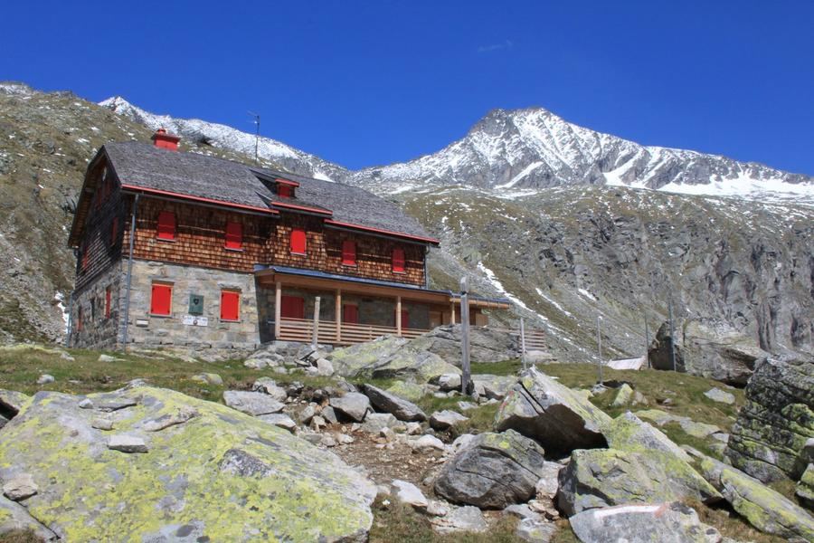
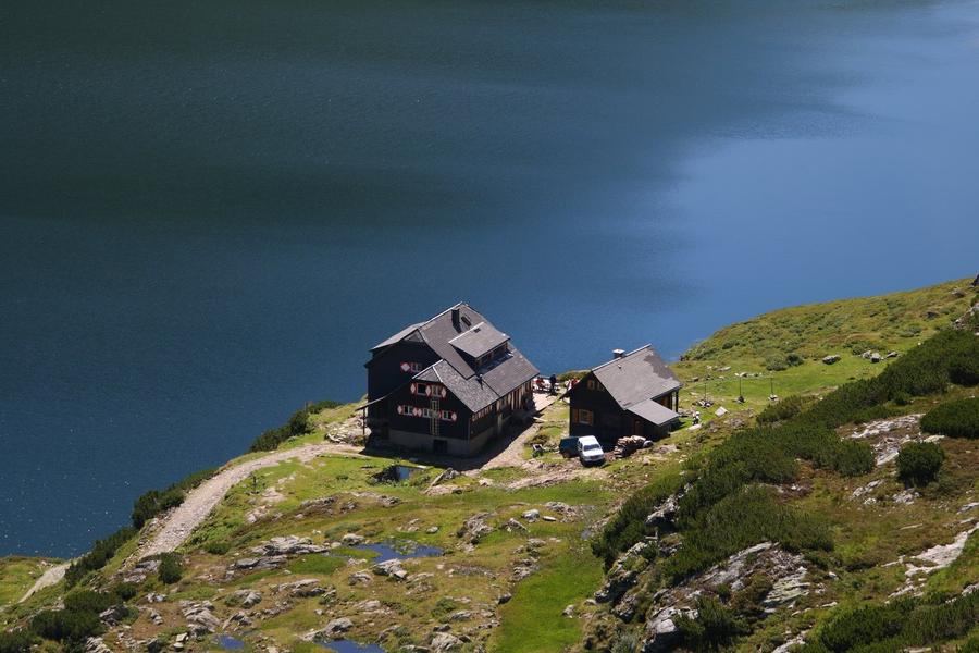
11.4 km up the Dösental from Mallnitz (just under 1,200 m of ascent, about 5:45 h). Mountain forest, the old Venetian sawmill, a geologically interesting valley and, at the end, the Dösener See with the hut above it.

2
Giessener Hütte
Day 2 · Arthur-von-Schmid-Haus → Gießener Hütte
↔ 6.1 km↑ 427 m↓ 501 m◷ 3–4 h

Short but fully high alpine: 6 km over the Mallnitzer Scharte (2,672 m), ↑509 / ↓585 m. Boulder terrain, slabs, a cable-secured section and the crossing of the active Dösental rock glacier.

3
Day 3 · Gießener Hütte → Koschach (Maltatal)
↔ 14.6 km↓ 1350 m◷ 5–6 h

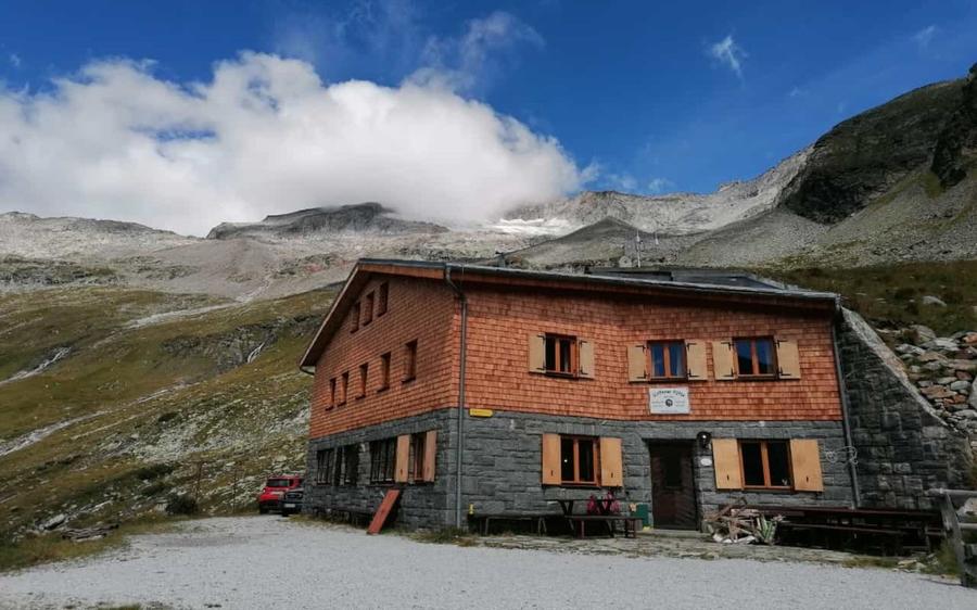
15 km of descent through the Gößgraben, past the Gößkar reservoir and the Gößfälle waterfalls. Over 1,500 m down, technically the easiest day of the route.

Koschach (Maltatal) 850 m
Valley village · lodging via Booking.com
Booking.com →
Descent to the valley · Malta
From the last hut you descend to the valley village — approximate destination, lodging below.
Malta
After the trek · lodging
Rest up in Malta
Hotels and guesthouses in Malta · Booking.com
Booking.com →
Route alert
Want the whole route on one date?
Leave your e-mail. We’ll write as soon as every hut on the route lines up with no gaps — with the dates straight to your calendar.

What to pack

Sleeping bag liner
Sleeping bag liner
Required in huts
Browse at 4camping →
Hiking boots
Hiking boots
Ankle-high, category B–C
Browse at 4camping →
Waterproof jacket
Waterproof jacket
Hardshell, 3-layer
Browse at 4camping →
Backpack 30–40 l
Backpack 30–40 l
Multi-day, with rain cover
Browse at 4camping →
Trekking poles
Trekking poles
Foldable
Browse at 4camping →
Headlamp
Headlamp
Rechargeable
Browse at 4camping →
Via ferrata set
Via ferrata set
Shock absorber + carabiners
Browse at 4camping →
Climbing helmet
Climbing helmet
Light, for via ferrata
Browse at 4camping →

Handy before you go

tips from verified partners
View on GetYourGuide
Partner · experiences
Tours and activities nearby
Guided tours, via ferratas and trips around Mallnitz — book online.
View on GetYourGuide →
Get Revolut
Partner · payments
No foreign-currency fees
A card for fee-free payments and withdrawals along the whole route — exchange rate with no markup.
Get Revolut →
Buy an eSIM on Airalo
Partner · connectivity
eSIM data in the Alps
Mobile data without roaming for the whole trek, activated in a minute.
Buy an eSIM on Airalo →

Frequently asked questions

How long does the Ankogel crossing take?+
Three days and two nights in huts — the Arthur-von-Schmid-Haus and the Gießener Hütte. Around 33 km in total and roughly 1,830 metres of ascent.
How hard is it?+
Moderate. Two days are long but ordinary mountain walking; the middle stage over the Mallnitzer Scharte is high alpine — boulders, slabs, one cable-secured section and old snow. Sure-footedness yes, climbing skills no.
Do I need a via ferrata set?+
Not for the crossing itself — the secured section below the Mallnitzer Scharte is grade A. You only need a set, crampons and an ice axe for the optional summits of Hochalmspitze or Säuleck, which are a separate undertaking.
Can I climb the Hochalmspitze from the route?+
Yes, but it is a far bigger day. The Detmolder Grat has been continuously secured since 2013 and still climbs at UIAA II; the mountain is glaciated on every side, so crampons, ice axe and glacier experience are essential. Allow a full extra day.
What is the Dösental rock glacier?+
A debris stream with ice inside it that flows down the valley like a glacier, only slower and without a visible snout. It is still active and the route crosses it on day two. In practice it means uneven ground where you cannot rush.
Which huts are on the route and can they be booked online?+
The Arthur-von-Schmid-Haus (2,281 m) at the Dösener See and the Gießener Hütte (2,215 m) above the Gößkar. Both are in the Alpenverein reservation system and can be booked online.
Where does the route start and finish?+
It starts in Mallnitz and finishes in the Maltatal near Koschach. It is not a loop — Mallnitz has its own railway station and a bus serves the Maltatal; by car, plan a transfer.

Similar routes

Show all routes →
Berliner HöhenwegHard
Berliner Höhenweg
Zillertal Alps
90 km8-9 days
Stubaier HöhenwegHard
Stubaier Höhenweg
Stubai Alps
83 km8 days
Schladminger Tauern HöhenwegModerate
Schladminger Tauern Höhenweg
Low Tauern
76 km5-7 days