A limestone bell tower three hundred metres high, solid dolomite from base to summit, pierces the ridge straight into the sky. That's Campanile Basso, 2,883 m, the symbol of the Brenta Dolomites. And this route will take you to it across rocky ledges that climbers have traversed since 1932.
The Dolomiti di Brenta Traverse is not a ridge walk for everyone. Fifty-five kilometres, 5,500 metres of climbing, four to five days, and 'expert' here means expert. Translated into your legs: twice the elevation of Ben Nevis each day, except on exposed walls, with a rope in your hand and glaciers beneath your boots. If you're looking for a casual hut-to-hut tour with a beer on the terrace, keep turning pages. This is a traverse through the heart of the massif where you walk the cenge, natural horizontal ledges in vertical walls, along which runs the legendary Via delle Bocchette.
You start in Madonna di Campiglio, the prestigious Val Rendena resort, and finish in Pinzolo below. Between them, four SAT huts, each with its own story.
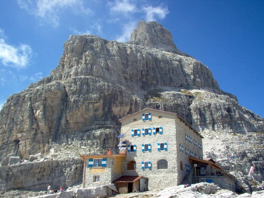
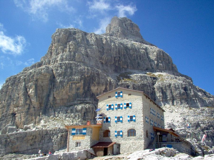
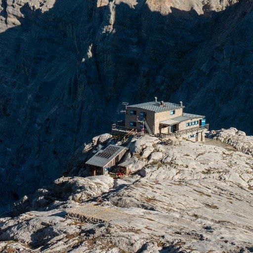
Day one takes you to Rifugio Tosa 'Tommaso Pedrotti' (2,491 m). Rifugio Tosa was the very first hut the SAT ever built, in 1881. Pedrotti was added in the early twentieth century; a Viennese court awarded it to the SAT in 1914 following a legal dispute, and it was named after a Tridentine volunteer. It stands a few metres from the Bocca di Brenta saddle, facing Brenta Alta, and is a mandatory stop for anyone crossing the Brenta.
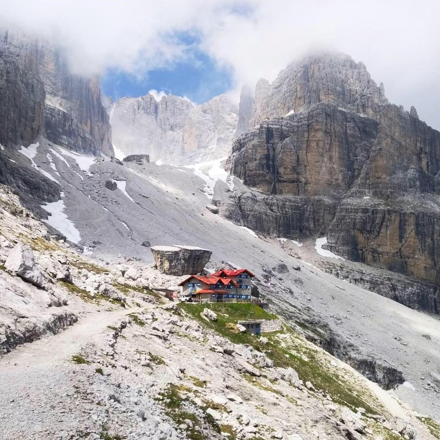
Day two: Rifugio Alimonta (2,589 m), the highest hut on the route. From here, it's only a short glacier crossing to Via delle Bocchette Centrali, the oldest and most classic section of the entire system. It was right here, at Tosa Pedrotti, in the 1930s that the plan to connect the Brenta huts via ferrata across natural ledges was born. The genius loci of alpinism.
Day three crosses the ridge into Val d'Ambiez towards Rifugio Silvio Agostini (2,405 m). The hut bears the name of a mountain guide who fell from Campanile dei Brentei in 1936. The longest and most demanding stage, via ferrata, steep climbing, views of the Brenta towers.
Day four closes the circle at Rifugio XII Apostoli 'Fratelli Garbari' (2,489 m), built in 1907–1908 thanks to the Garbari brothers, Tridentine industrialists and climbers. The hut sits on a limestone terrace above Val di Nardìs and hides a chapel carved from rock. A small historical irony: Carlo Garbari, one of this hut's benefactors, attempted the first ascent of Campanile Basso in 1897 and turned back fifteen metres from the summit. The tower wasn't summited until two years later. From here it's just a descent to Pinzolo.
Who is this for? Experienced climbers comfortable with via ferrata, who can handle crampons and ice axes and don't mind exposure on the wall. Vertigo and the Brenta don't mix. If you're only half-confident, go with a mountain guide.
When to go? The season is short, roughly late June to mid-September, when the huts are open and the ferrata sections are thawed. Outside this window, snow on the ledges and glaciers turns the traverse into an alpine undertaking.
How to book? The huts belong to the SAT (Società Alpinisti Tridentini) and reservations go directly to them, ideally well in advance, August weekends fill up fast. Bed, dinner, breakfast; members of alpine clubs (including Alpenverein) usually get a discount. Find the official route, maps and hut status under the Dolomiti di Brenta Trek banner.
One more thing: the entire Brenta lies in the Adamello-Brenta nature reserve, the Alps' last stronghold of brown bears. You probably won't see a paw print. But it's worth knowing whose land you're walking on.
Campanile Basso will watch you the whole way. The question is whether you dare look back.
Pick a start date, for every night on the route you instantly see the free beds and book directly through the official Alpenverein system.




 AT
AT DE
DE CH
CH EN
EN FR
FR IT
IT NL
NL SL
SL SK
SK CZ
CZ