Große Silvretta Durchquerung is a five-day ski-mountaineering traverse of the Silvretta range on the Austria-Switzerland border. Unlike classic summer hut-to-hut treks, this is a ski tour—you'll only manage it with touring skis, climbing skins, and proper ski-mountaineering gear. Start and finish are in Ischgl; total distance is 65 km and difficulty is rated as demanding, making it better suited to experienced ski mountaineers with solid fitness and snow confidence.
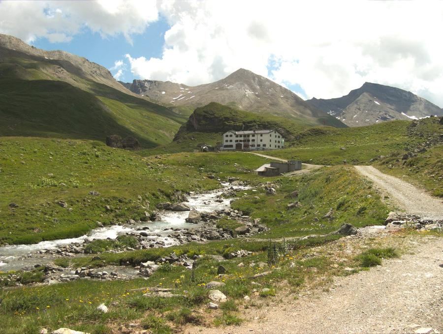
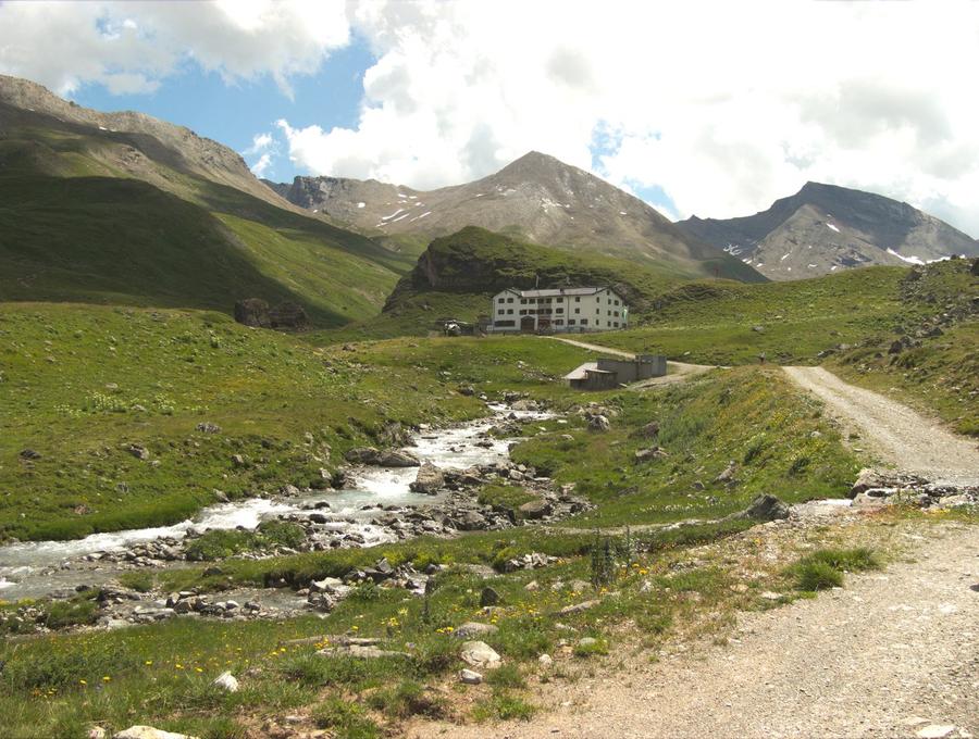
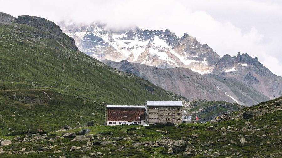
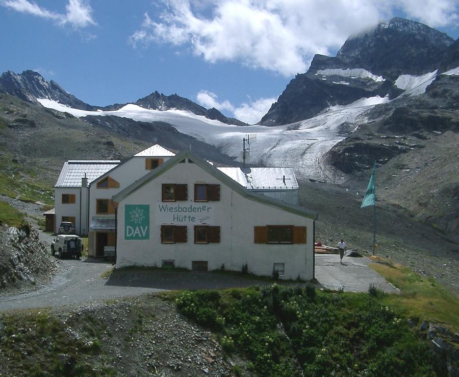
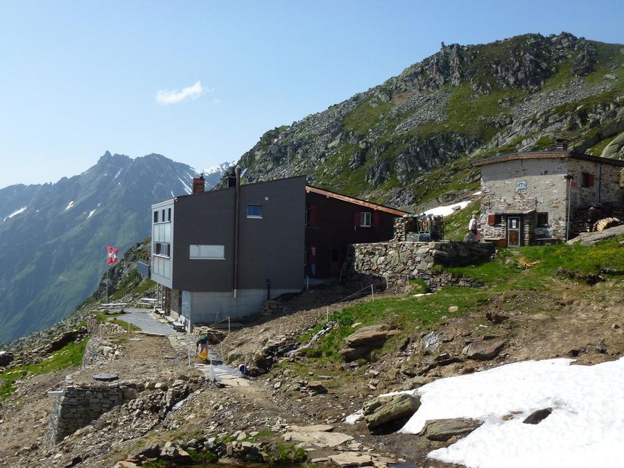
The route is designed as a loop that progressively passes three huts on the Austrian side and one on the Swiss side before returning to Ischgl. Day one departs Ischgl by bus and continues as a ski tour to Piz Val Gronda, lodging at Heidelberger Hütte. Day two traverses Breite Krone back into Austria toward Jamtal Hütte. Day three includes skiing to Dreiländerspitze and continues to Wiesbadener Hütte, which sits directly on the border of three countries—the most symbolic high point of the route. Day four heads toward Piz Buini, the highest peak in Silvretta (3312 m), with lodging on the Swiss side at Silvrettahütte SAC. The final day descends to Galtür and returns by bus to Ischgl.
Terrain matches high-altitude ski touring above the tree line—a blend of ascent on climbing skins and descents over firn or powder depending on season and snow. The route links four huts as natural daily stops while allowing ascent of two prominent summits of the region, Piz Val Gronda and Piz Buin. Passage through three countries (Austria, Switzerland, and symbolically Liechtenstein near the tripoint at Wiesbadener Hütte) gives the traverse a genuine alpine durchquerung character, not merely a resort loop.
For whom: demanding ski-mountaineering, not casual ski touring. It assumes experience with ski touring at high altitude, snow judgment, and solid fitness across five days of climbing and descent in succession. Best suited to winter and spring ski-mountaineering season when huts operate and snow conditions allow safe passage—exact opening dates must be checked directly with individual huts.
All four huts—Heidelberger Hütte, Jamtal Hütte, Wiesbadener Hütte, and Silvrettahütte SAC—require advance booking through the official reservation system of the Austrian or Swiss Alpenverein, depending on which side of the border the hut sits. Given the five-day linked nature with hut-to-hut continuity, it pays to book the full traverse at once and retain a backup date in case poor weather requires postponement or stage adjustments.
Pick a start date — for every night on the route you instantly see the free beds and book directly through the official Alpenverein system.




 AT
AT DE
DE CH
CH EN
EN FR
FR IT
IT NL
NL SL
SL SK
SK CZ
CZ