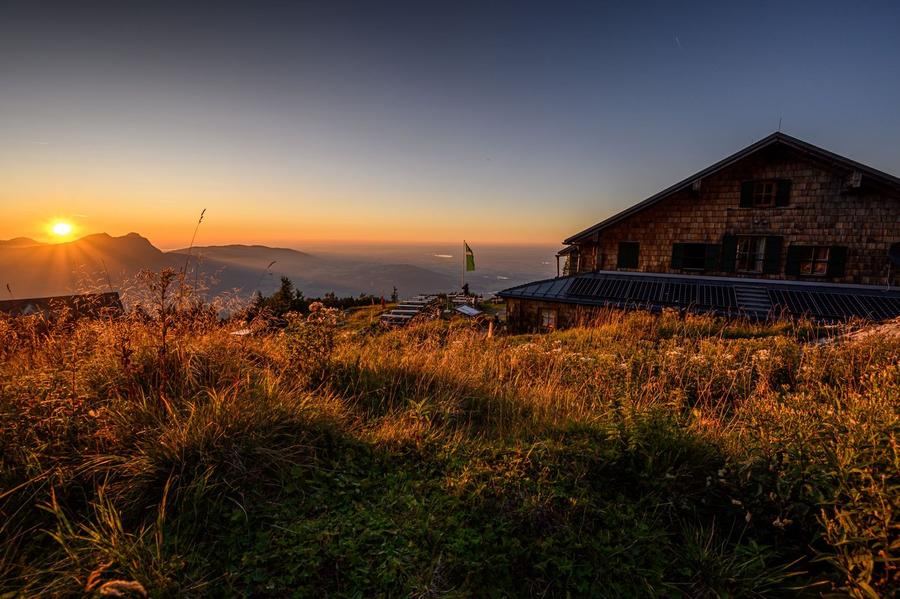
Thirty days on foot. From Marienplatz in the heart of Munich to the paving of Piazza San Marco in Venice. Between them 554 km, over 20,000 metres of climbing, and the entire arc of the Alps, from Bavarian meadows through ice-carved ridges to a lagoon into which you finally arrive by boat.
This is not just a line on a map. The Traumpfad, "the dream path", was conceived by mountaineer Ludwig Graßler and described in his 1977 book Zu Fuß über die Alpen (On Foot Across the Alps). Since then, each summer, crowds of people have set out with one goal: to cross the Alps on their own feet, start to finish. No cable car, no shortcut. Just you, a pack, and a ridge that stretches across three countries.
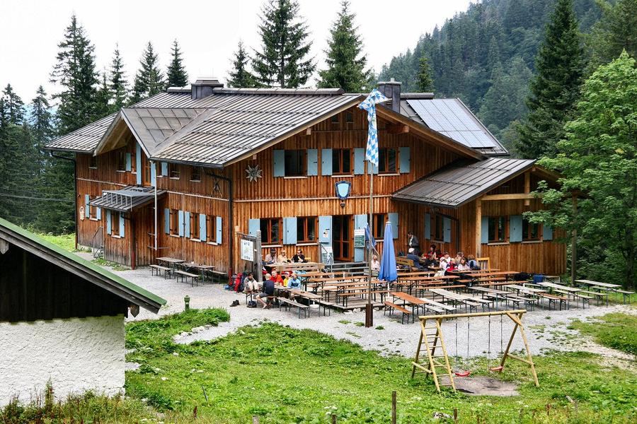
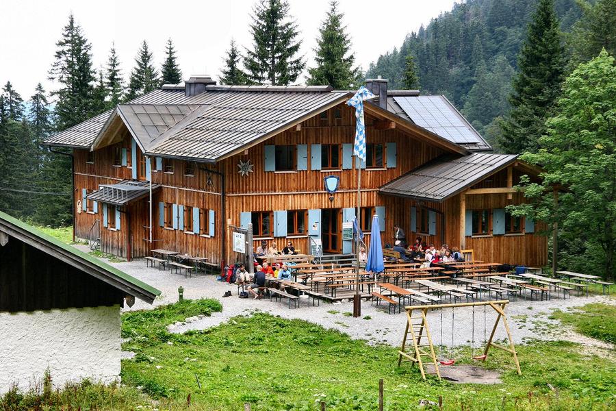
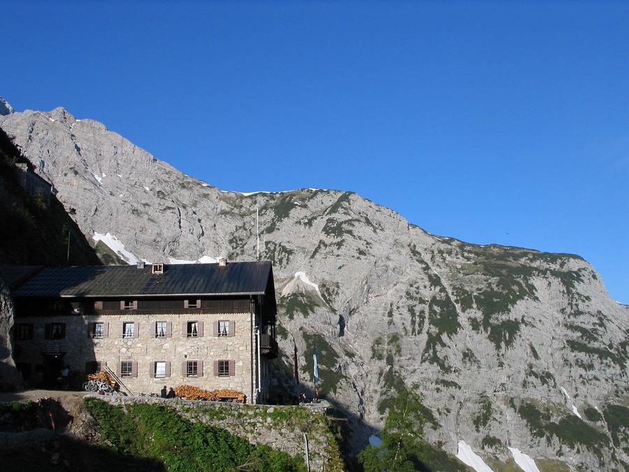
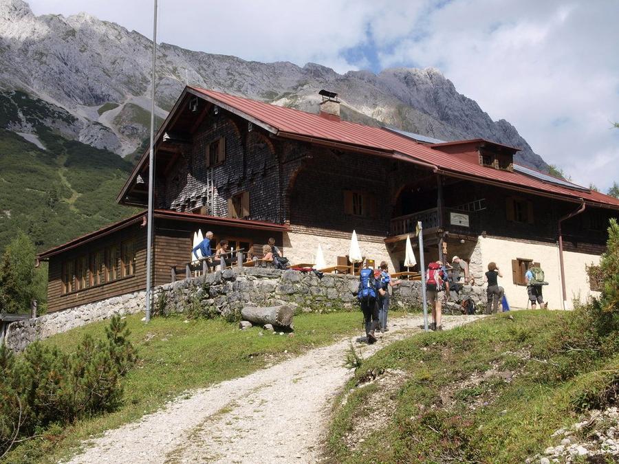
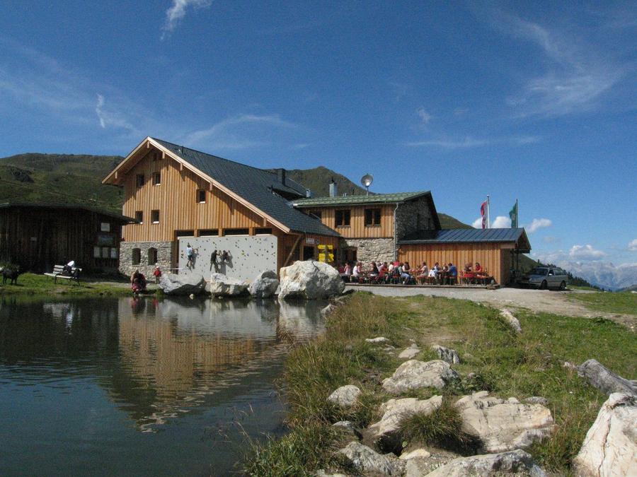
The first few days Bavaria coddles you. Meadows, forests, the Pre-Alps below the wall of Benediktenwand, a night at Tutzinger Hütte and you feel this will be idyll. Then comes Karwendel and idyll ends. Via Karwendelhaus and Hallerangerhaus, hidden in the heart of the same-named nature park, the trail aims for Birkkarspitze (2,947 m), the range's highest peak. The descent is roped and scree fields are the first real test, here is where you find out who read the route only in a catalogue.
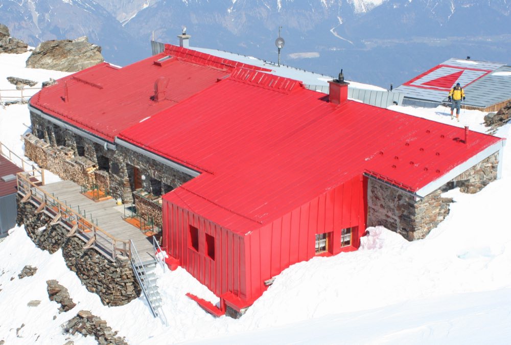
Further south rises the main event: the Alpine main ridge. Via Glungezer-Hütte at 2,610 m and Lizumer Hütte in the Tuxer Alps you climb between glaciated peaks. From Olpererhütte (2,389 m) the turquoise expanse of the Schlegeisspeicher reservoir opens below you, one of those views worth coming for. Then the Pfitscherjoch pass crosses into Italy and the Alps hand you to the Dolomites.
And the Dolomites are a concert. The Puez group, Sella massif, Marmolada's north face, Civetta's west wall, limestone cathedrals that glow rose-pink in clear evening light. The Alps section ends in Belluno. Final days lead through the Piave river valley via Belluno foothills into the flatland, less dramatic, for that reason sweeter, because the goal is near. Finale? A boat across the Venetian lagoon from the Cavallino peninsula and San Marco's piazza beneath your feet. From the mountains straight to Renaissance.
Terrain character: most of the time you move between upper forest line (around 1,800 m) and snow line (2,800 m). Daily you climb and descend around a thousand metres. Occasionally fixed ropes, a few exposed spots. Difficulty ranges between T2 and T3, demanding mountain hiking, not technical climbing. Still: a sure step, a head without vertigo, and alpine experience are not suggestions but requirements.
For whom? For the experienced on multi-day treks who can handle thirty days in a row and reserve huts months ahead. First-time mountain hut sleepers should start smaller. Those with a few hut-to-hut treks under their belt will find the pinnacle of their collection here.
When? The classic window is July through September, when huts are open and high passes are snow-free. Late June tends to be treacherous; October already shuts down.
How to book: most huts belong to the German or Austrian Alpenverein (DAV/OeAV) and book online directly at the hut. Membership in an alpine club means a discount and priority for bed allocation. Book early, popular huts fill weeks in advance during main season.
The Traumpfad cannot be rushed through in a weekend. And that is exactly the point. Thirty days, one ridge, and at the end a lagoon that reminds you that you have just walked across the entire Alps. On foot.
Pick a start date, for every night on the route you instantly see the free beds and book directly through the official Alpenverein system.




 AT
AT DE
DE CH
CH EN
EN FR
FR IT
IT NL
NL SL
SL SK
SK CZ
CZ