A highland plateau where rain falls upward.
It sounds like nonsense, but Hochschwab is exactly that trick. Limestone soaks up every drop of rain; the water vanishes beneath your feet into caves stretching dozens of kilometres and resurfaces just a few hundred metres lower as a spring. One of those springs flows through pipes straight to Vienna's taps. Meanwhile, you're walking across the roof of the entire system, five days, 55 km, 4500 m of climb, wrestling with a more practical question: where to refill your bottle, because on the karstic plateau nothing flows beneath your feet at all.
This is Hochschwab intensive. A circuit that starts and ends in St. Ilgen (access from Alpengasthof Bodenbauer, 881 m) and takes you through the very best the Styrian massif has to offer. Not a stroll. A proper ridge traverse and plateau walk combined.
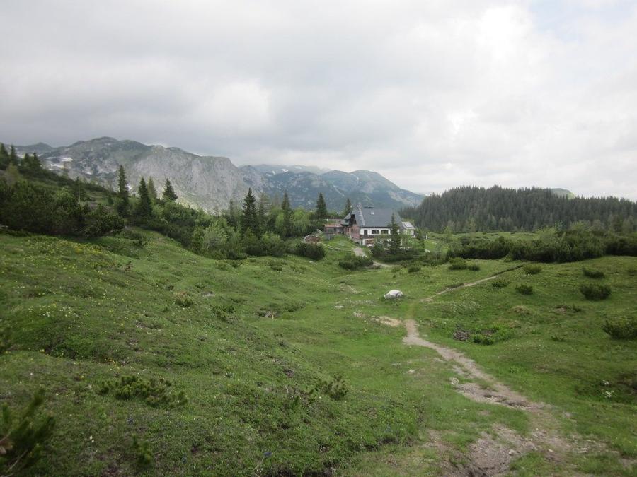
Terrain character? Contrast. Morning climbs through canyons and cirques between rock walls; afternoon walks across moonscape bare limestone where stones ring under your boot. Then it breaks into the pastures of Sonnschienalm, where suddenly cowbells clang and grass feels like carpet. Wetterstein limestone is karstified through and through, beneath you snakes the Frauenmauer-Langstein cave system with more than 45 km of passages. On top, dry; below, a river. Karst is stingy with water and generous with views.
And the views are first-rate. Hochschwab summit (2277 m) is the highest point of the entire range and on clear days you can see far into Styrian country in all directions. On the way up you have a decent chance of spotting chamois, Hochschwab holds one of Europe's largest chamois territories. Ibex, marmots, grouse. Wildlife is so abundant here that you should have your camera ready before you leave the forest.
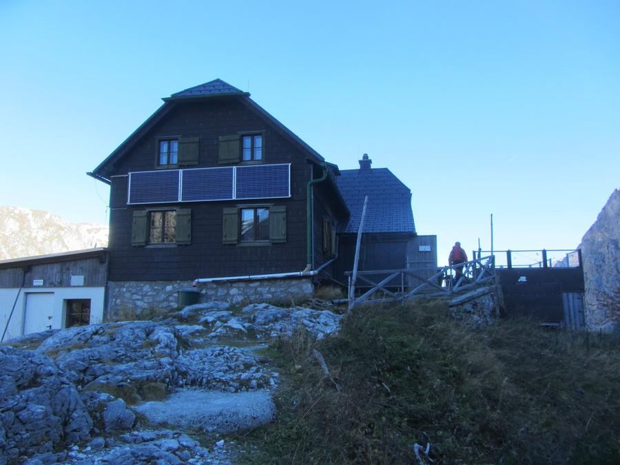
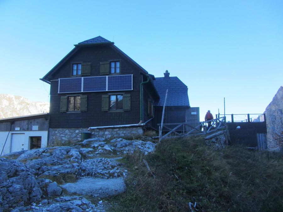
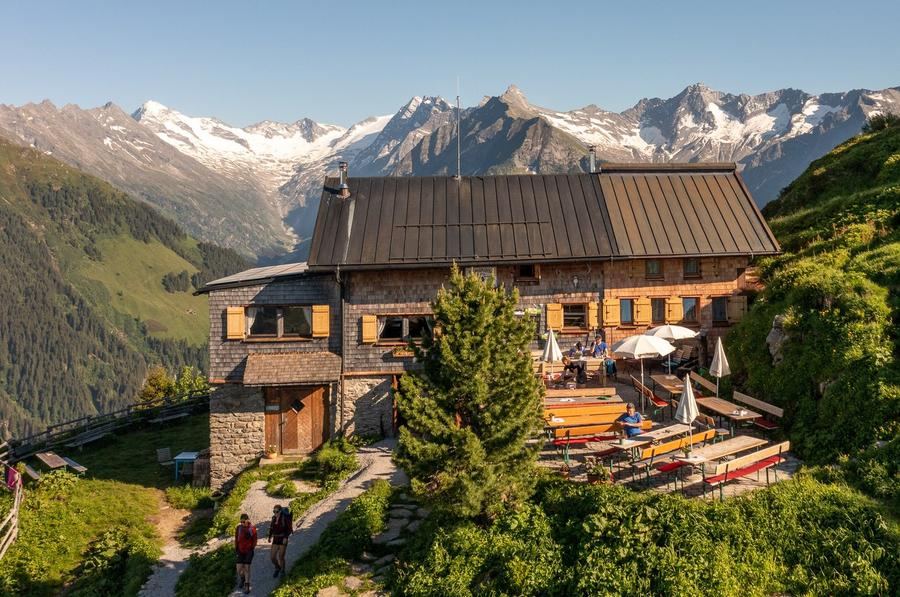
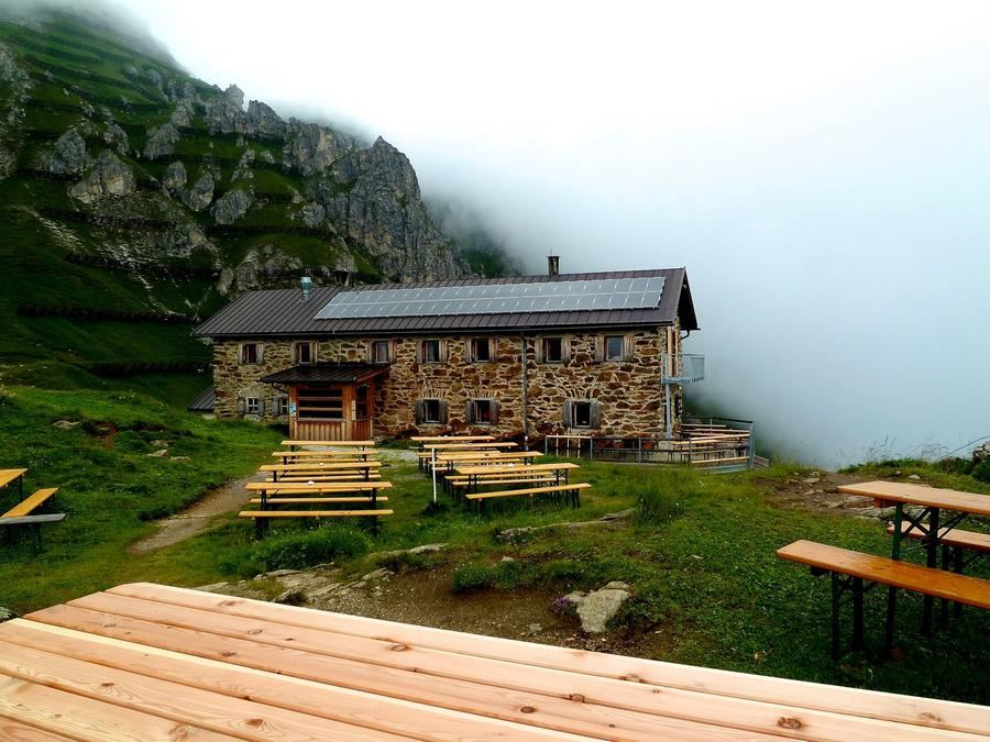
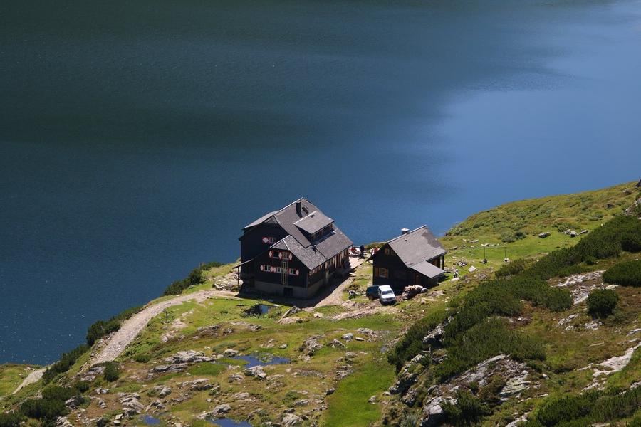
The huts are stories themselves. Your first night lands you at Voisthalerhütte (1654 m), an Alpenverein hut that's stood there since 1898 and recently underwent reconstruction (shell 2020, completion 2021). The second day leads over the summit past Schiestlhaus (2153 m), no ordinary refuge: it's the highest hut in the range and also the world's first high-altitude passive house, opened in 2005. Energetically self-sufficient box on the Styrian rooftop. Your second night at Sonnschienhütte (1523 m) in the middle of pastures. Three huts, three completely different worlds.
Who's it for? Hikers with fitness and sure feet. No via ferrata on this route, but exposed karstic sections and long stages make demands on healthy knees and good judgment. If you can handle 15 km days with elevation gain and a pack, you'll enjoy it. If you hike twice a year on a cablecar, start somewhere else.
When to go? Hut season runs roughly June through late September, edges depending on weather and snow. Head to the summit early in the morning, not just for peace, but mainly for storms, which love to brew over the plateau after midday. On bare karst you have nowhere to hide.
How to book? Through Alpenverein. The huts are run by alpine clubs (ÖAV, ÖTK) and in high season beds are reserved online in advance, club membership will knock money off your room and sometimes determine whether you get a spot at all. Book ahead; cooked goulash doesn't appear on the plateau.
Bonus nearby: beneath the southern cliffs lies Grüner See in Tragöß, a karstic lake dammed by ancient rockslide that swells from meltwater each spring and has made the region famous. The route doesn't cross it, but it's reason enough to stay in the area an extra day.
Five days on the roof, beneath which half of Vienna flows. You won't leave the huts until the plateau lets you back down to St. Ilgen, and your bottle will be empty long before you expect.
Pick a start date, for every night on the route you instantly see the free beds and book directly through the official Alpenverein system.




 AT
AT DE
DE CH
CH EN
EN FR
FR IT
IT NL
NL SL
SL SK
SK CZ
CZ