Three days. Three huts. And nearly empty trails, just marmots, cows, and the occasional ibex on the ridgeline.
The South Tyrol Traverse across the Pfunderer Mountains (Pfunderer Berge) isn't a trail you stumble onto by accident. It runs from Pfitschtal up and over into the Lüsen valley: 45 km along the ridgeline, 3,200 metres up and back down, holding you high the whole time, in remote country where crowds don't reach. The Pfunderer Berge are a subrange of the Zillertal Alps, and that remoteness is the whole point. For days you'll move through landscape where you're more likely to meet a herd of cattle than another person.
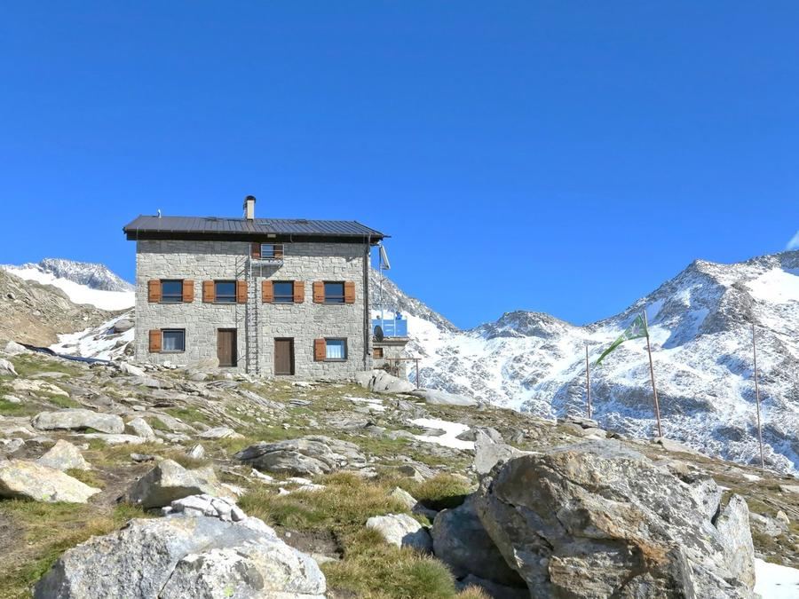
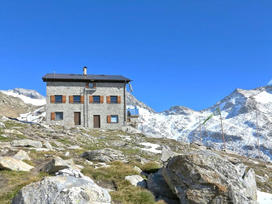
The start has character. Day one you climb from Pfitschtal to Hochfeilerhütte at 2,715 m, and above your head hangs Hochfeiler, 3,510 m, the highest mountain of the entire Zillertal Alps. It was first summited on July 24, 1865 by Austrian mountaineer Paul Grohmann with two mountain guides. You'll have it right above your plate on your first night. Today's hut was opened by the South Tyrolean Alpenverein (AVS) in 1986.
This is terrain where you read weather from the ridge and your phone gives you peace. Above Hochfeilerhütte the glacier remnants shimmer, below the valleys drop into green shadow. Between huts it's truly remote, water and food you fetch at the hut; in between you're on your own and the marked path. Exactly why people come. To have nothing to choose from but the mountains.
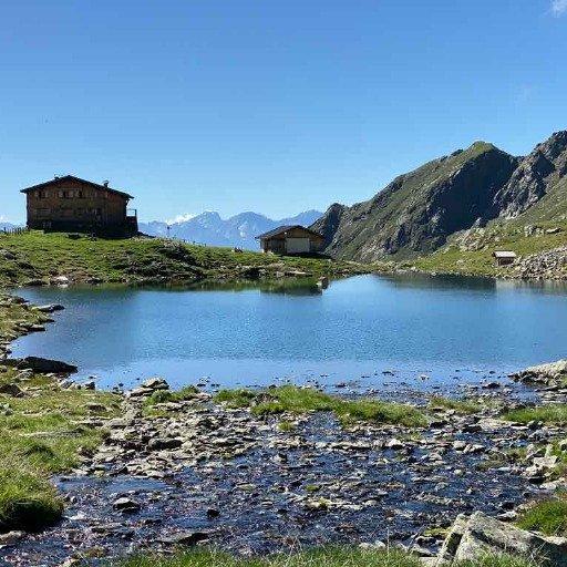
Day two is ridgeline grind. Via passes and rocky terrain you pick your way to Tiefrastenhütte at 2,312 m, and it sits by the alpine lake Tiefrastsee, cupped by jagged peaks like Hochgrubbachspitze (2,809 m). Water, rock, silence. The hut was built in its current form by the Brixen section of the AVS in 1974, replacing the original Fritz-Walde-Hütte from 1912.
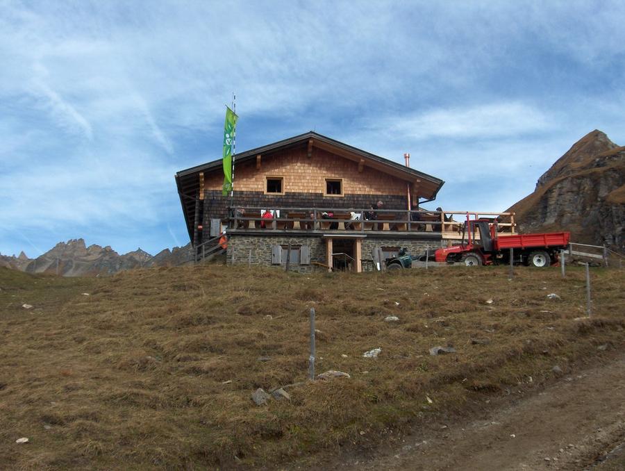
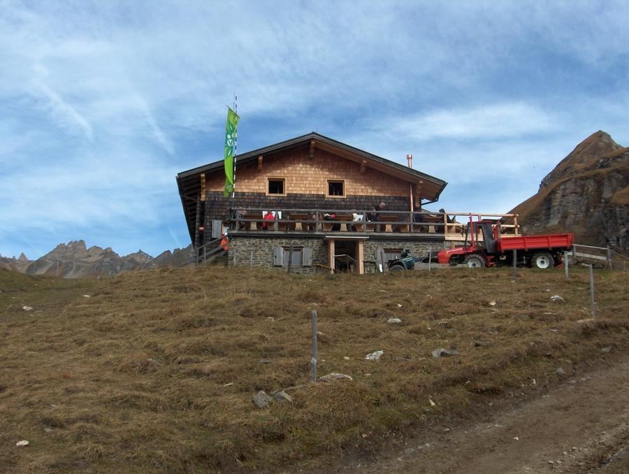
Day three finishes the ridge to Brixner Hütte at 2,282 m, a log cabin at the edge of the high pasture Fane Alm, completed in 1973. From here you finally open your eyes wide to the Dolomites on the horizon, before you begin descending into the green Lüsen valley. Along the way you pass Wilde Kreuzspitze, 3,132 m, the highest peak of the entire Pfunderer range.
What does this demand of your legs? Challenging. The terrain wants a sure step, a head without vertigo, and decent fitness, there are exposed sections, boulder fields, and passes where you tread carefully. This isn't a loop for your first multi-day trek. It's hut-to-hut for someone who already has a few huts in their legs and wants a ridge where you can breathe.
When to go? Early July through September. Before that, passes hold snow that makes the traverse dangerous or impassable. After that it hardens and the huts close.
How to book? All three huts are run by Alpenverein South Tyrol. Talk to each hut directly about beds; Alpenverein membership also brings you discounts. Don't head to the ridge without booking, capacity is small, and Brixner Hütte has only a handful of places.
Need more days? This traverse is actually the heart of the longer Pfunderer Höhenweg, a classic South Tyrolean ridgeline trek that connects huts over roughly 70 km from Sterzing to the Puster Valley. You can stretch it. But even at this length you'll get what you came for. Height, silence, and a ridge that will hold you.
Pick a start date, for every night on the route you instantly see the free beds and book directly through the official Alpenverein system.




 AT
AT DE
DE CH
CH EN
EN FR
FR IT
IT NL
NL SL
SL SK
SK CZ
CZ