All day. And you won't meet a soul.
On Pfunderer Höhenweg, this isn't poetic licence, it's real: six days traversing the ridge between 2000 and 3000 metres, and there's a solid chance that the only human you'll see is a hut keeper tending the stove. While neighbouring Zillertal and the Dolomites burst at the seams, here reigns silence. Pfunderer Berge, a remote subrange of the Zillertal Alps wedged between Pustertal and the main Alpine crest, counts among South Tyrol's least-tramped corners. And that's precisely why you've come.
Seventy kilometres. Nearly 5800 metres of climbing. Starting in Sterzing (1200 m) just below the Brenner Pass, finishing near Bruneck in Pfalzen. In between: a ridge survey by the Brixen, Bruneck, and Sterzing sections of the Tyrolean Alpenverein, one that will exact a price from your quads.
Don't expect a tourist highway with railings and blue blazes. Expect the opposite. The route runs long stretches off-trail, over boulder fields where hands come into play. Three stages are cable-secured; elsewhere you'll cross lingering snowfields even in August. Navigation is on you. This is T3 to T4 terrain, a steady pace, a head for heights, and reserves of fitness aren't recommendations but entry fees.
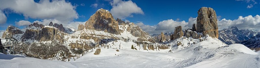
The reward? Panorama you don't see elsewhere. Southward, the Dolomite towers shine. To the north, glaciers of Hochfeiler and Hochferner, twin guardians of the Zillertal Alps, hang in the distance. Day two takes you over Sengesjoch (2620 m), and far below lies Wilder See (Lago Selvaggio in Italian), at roughly 46 metres deep, the deepest Alpine lake in South Tyrol. Ambitious legs can detour to Wilde Kreuzspitze (3132 m), the range's highest crown.
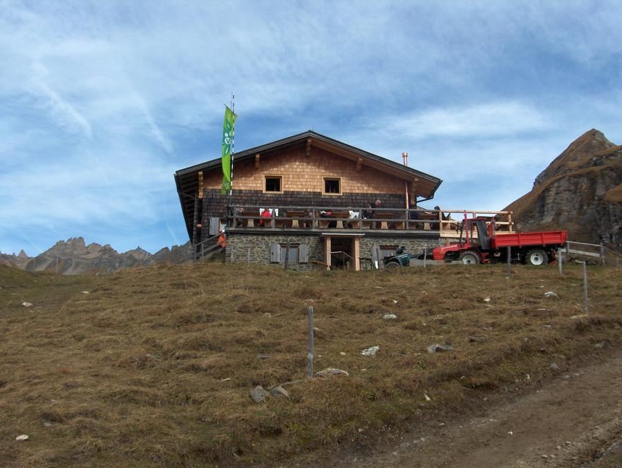
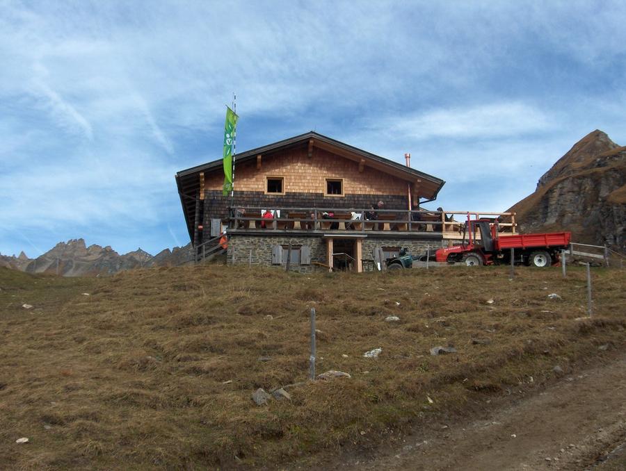
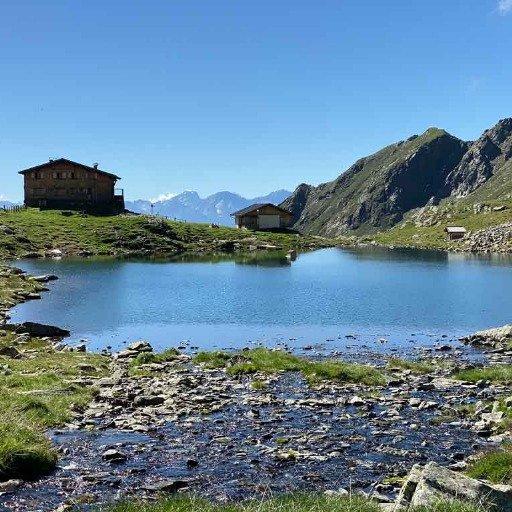
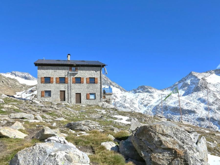
Stages bead along the ridge like a string. Day one drives you from Sterzing over Trenser Joch to Simile-Mahd-Alm, a pasture where cheese and milk come from the adjacent barn, not the cooler. Day two follows the ridge past Sengesjoch and Wilder See to Brixner Hütte (2282 m), a snug refuge beneath Wilde Kreuzspitze. Day three crosses three saddles in quick succession, Steinkarscharte, Keller- and Dannelscharte, ending at Walter-Brenninger-Bivak: eight bunks, no staff, bring your own food and sleeping bag. Day four is the crux, T4 terrain, a steep descent from Gaisscharte and past Eisbruggsee to Edelrauthütte (2545 m). This hut was rebuilt from scratch in 2016 as a glass-walled passive house between two valleys, Pfunderer Tal and Ahrntal, and is famous for homemade noodles. Day five meanders through wildflower meadows over Hochsägescharte to Tiefrastenhütte (2312 m), the last hut, perched idyllically above Tiefrastensee. Day six takes you over a chain of summits down into civilisation near Bruneck.
Who's it for? Someone who's hiked hut-to-hut treks before and craves solitude over selfies. Beginners have no business here. If you've tackled the Berliner or Stubaier Höhenweg and want the next level into wilderness, you're home.
When to go? Season is short, roughly July through mid-September. Earlier, snow blocks secured passages; later, autumn storms hit altitude. Late summer is ideal, when snowfields are minimal and huts still open.
How to book? Reserve huts in advance, capacity is tiny and mountain keepers improvise poorly. Book through individual huts or via Alpenverein Südtirol, which manages this section. Membership discounts hut fees and opens the unstaffed bivak.
Six days of silence, two thousand metres of climbing daily above the valley crowds. When evening light spills across Tiefrastensee and you're the only one watching, then you'll understand why people come here for the emptiness.
Pick a start date, for every night on the route you instantly see the free beds and book directly through the official Alpenverein system.




 AT
AT DE
DE CH
CH EN
EN FR
FR IT
IT NL
NL SL
SL SK
SK CZ
CZ