🇦🇹Austria · Zillertal Alps

Zillertal Hut Traverse

Multi-day hut-to-hut trek across Alpenverein huts
Zillertal Hut Traverse
Hard TraverseVia ferrata
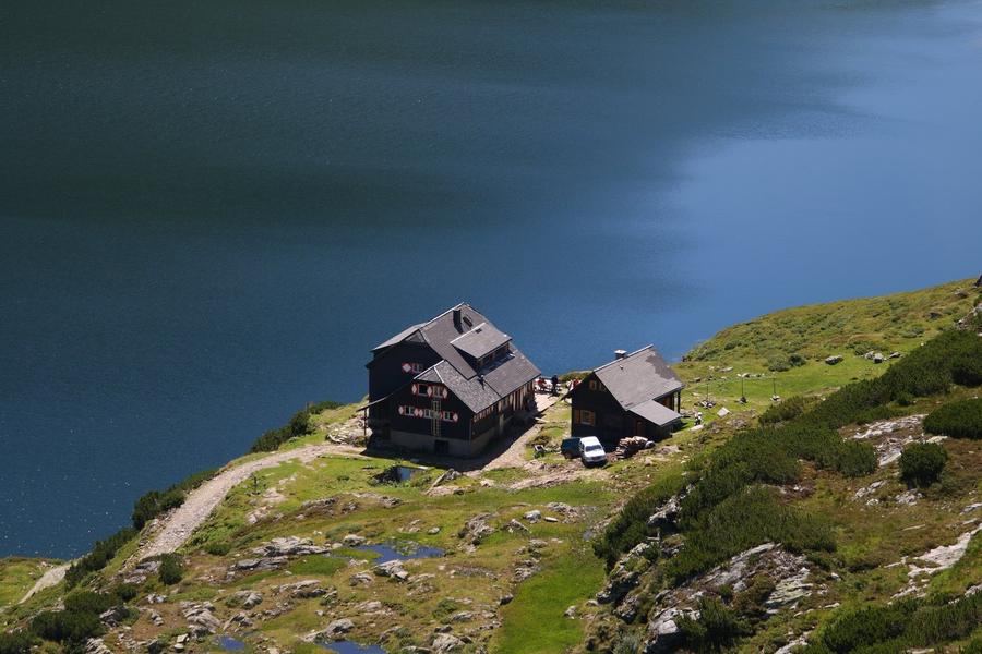
mjhbower · BY-SA 2.0
83 km
Distance
+6,600 m
Ascent
5 days
Duration
5
Huts
Best time: July – September
Check hut availability →
Download GPX ↓

About the route

Highest point
2,238 m
Huts on the route
5 × hut
Secured sections
Via ferrata K2 · avoidable
Best time
July – September

The route at a glance

Elevation profile
↑ 5,088 m ascent↓ 3,817 m descent63.4 km2,848 m summit
60018002900Alpenrose-Hütte Zillertal · 1900 mGamshütte · 1921 mKarl-von-Edel-Hütte · 2238 mKasseler Hütte (im Zillertal) · 2177 mBerliner Hütte · 2042 m0 km13 km25 km38 km51 km63 km
Line colour = gradient (green gentle → red steep). Dots = huts. Route: © OpenStreetMap (ODbL), elevations from mapy.com.
Route mapOpen full map ↗

Plan and book

Live availability · Alpenverein

Pick a start date — for every night on the route you instantly see the free beds and book directly through the official Alpenverein system.


Choose start date
How many staying overnight
1
„free" = beds for the whole group
MonTueWedThuFriSatSun
All huts freePartly freeSelected
Start · arrival
Brandberg
◎ Plan arrival
Brandberg
Before the start · lodging
Stay overnight in Brandberg
Hotels and guesthouses in Brandberg · Booking.com
Booking.com →
1
Alpenrose-Hütte Zillertal
Day 1 · traverse to Alpenrose-Hütte Zillertal
↔ 11.6 km↑ 1283 m↓ 127 m◷ 6–7 h

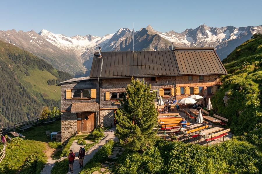
Warm-up climb from Finkenberg to Alpenrose-Hütte (1,878 m). First day to get your legs used to the pack and the Zillertal opening beneath the ridge.

2
Gamshütte
Day 2 · traverse to Gamshütte
↔ 17.2 km↑ 1595 m↓ 1282 m◷ 9–10 h

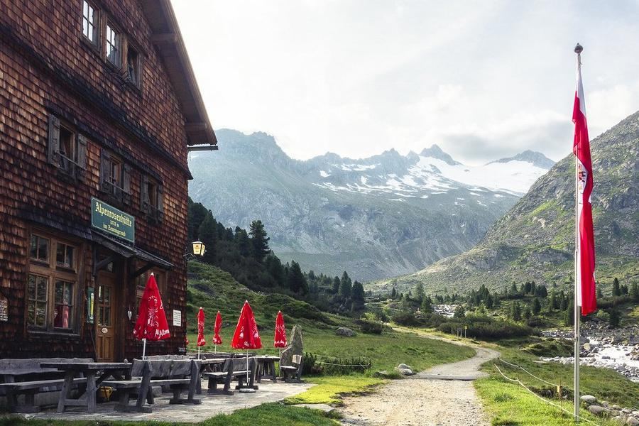
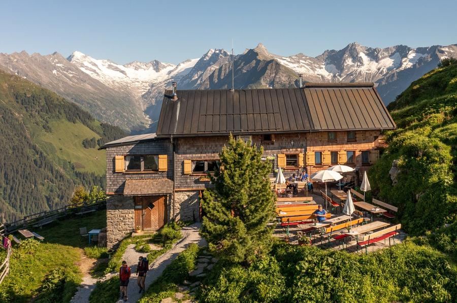
Gamshütte (1,921 m): built in 1928, now run by the Otterfing section. From the terrace you can see Ahornspitze, Großer Löffler, and the tongue of Floitenkees glacier.

Gamshütte 1921 m
Night 2
Hut info →Book →
3
Karl-von-Edel-Hütte
Day 3 · traverse to Karl-von-Edel-Hütte
↔ 29.1 km↑ 2010 m↓ 1593 m◷ 14–15 h

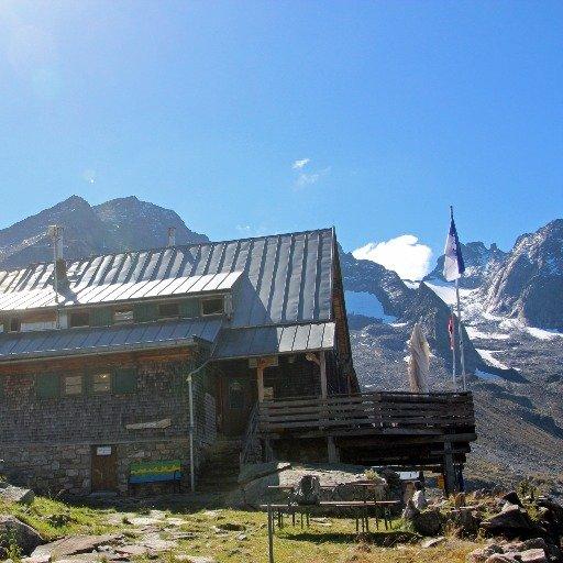
Karl-von-Edel-Hütte (2,238 m), nicknamed Edelhütte, clinging to Ahornspitze. Opened 1889, named after the founder of the Würzburg section; hit by avalanche twice (1950/51 and 1975) and rebuilt both times.

4
Kasseler Hütte (im Zillertal)
Day 4 · traverse to Kasseler Hütte (im Zillertal)
↔ 5.5 km↑ 200 m↓ 815 m◷ 2–3 h

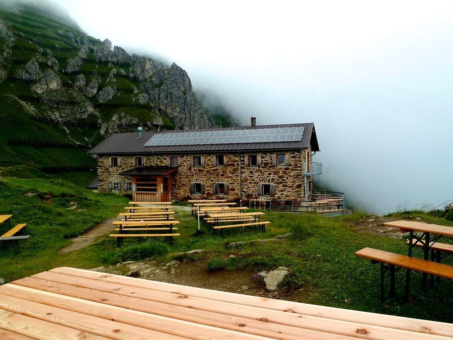
Kasseler Hütte at the end of the wild Stilluppgrund. The Kassel section opened it in 1927 after losing their original hut in South Tyrol following World War I.

5
Berliner Hütte
Day 5 · traverse to Berliner Hütte

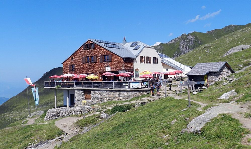
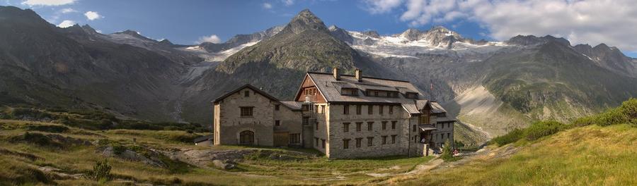
Berliner Hütte (2,042 m) in the upper Zemmgrund: the Zillertal's first hut (1879) and since 1997 Austria's only heritage-protected mountain hut. Imperial dining hall from 1910/11, its own post office, hydroelectric plant from 1911, and the glaciers Schwarzenstein, Hornkees, and Waxeggkees within reach.

Descent to the valley · Mayrhofen
From the last hut you descend to the valley village — approximate destination, lodging below.
Mayrhofen
After the trek · lodging
Rest up in Mayrhofen
Hotels and guesthouses in Mayrhofen · Booking.com
Booking.com →
Route alert
Want the whole route on one date?
Leave your e-mail. We’ll write as soon as every hut on the route lines up with no gaps — with the dates straight to your calendar.

What to pack

Sleeping bag liner
Sleeping bag liner
Required in huts
Browse at 4camping →
Hiking boots
Hiking boots
Ankle-high, category B–C
Browse at 4camping →
Waterproof jacket
Waterproof jacket
Hardshell, 3-layer
Browse at 4camping →
Backpack 30–40 l
Backpack 30–40 l
Multi-day, with rain cover
Browse at 4camping →
Trekking poles
Trekking poles
Foldable
Browse at 4camping →
Headlamp
Headlamp
Rechargeable
Browse at 4camping →
Via ferrata set
Via ferrata set
Shock absorber + carabiners
Browse at 4camping →
Climbing helmet
Climbing helmet
Light, for via ferrata
Browse at 4camping →

Handy before you go

tips from verified partners
View on GetYourGuide
Partner · experiences
Tours and activities nearby
Guided tours, via ferratas and trips around Brandberg — book online.
View on GetYourGuide →
Get Revolut
Partner · payments
No foreign-currency fees
A card for fee-free payments and withdrawals along the whole route — exchange rate with no markup.
Get Revolut →
Buy an eSIM on Airalo
Partner · connectivity
eSIM data in the Alps
Mobile data without roaming for the whole trek, activated in a minute.
Buy an eSIM on Airalo →

Frequently asked questions

How long is the Zillertal Hut Trail and how many days does it take?+
The route is 83 km with approximately 6,600 m of elevation gain, spread over 5 days sleeping in five huts. It runs from Finkenberg via the huts down to Mayrhofen.
How difficult is the route?+
Challenging (high-altitude). The trail runs exclusively through high-altitude terrain and demands absolute sureness of foot, good fitness, and resilience to exposure. Not a route for beginners.
Where does the trail start and end?+
The start is in Finkenberg, the finish in Mayrhofen—both villages lie directly in the Zillertal and are well accessible by public transport.
Which huts will I sleep in on the trail?+
In order: Alpenrose-Hütte, Gamshütte (1,921 m), Karl-von-Edel-Hütte / Edelhütte (2,238 m), Kasseler Hütte, and finally Berliner Hütte (2,042 m).
When is the best time to hike this trail?+
Mid-July through mid-September. Earlier, snowfields on the passes make the route dangerous; peak summer is ideal.
How do I book beds at the huts?+
All five are managed Alpenverein (Alpenverein) huts. Book beds in advance, preferably through each hut's online reservation system—at peak season they fill quickly.
Do I need to be an Alpenverein member?+
No, but it pays. Members get discounts on beds and mountain rescue insurance; on a multi-day traverse like this, your card typically pays for itself.
Is the trail secured with via ferratas?+
Classic via ferrata isn't the backbone of this trail—it's mainly high-altitude paths, boulder fields, and passes. Still, expect exposure and a sure foot; check current conditions and any secured sections with the huts before you go.
Why is Berliner Hütte so famous?+
It opened in 1879 as the Zillertal's first hut and became Austria's only heritage-protected mountain hut in 1997. Inside you'll find an imperial-style dining hall from 1910/11.
What kind of terrain will I encounter on the traverse?+
High-altitude: boulder and scree fields, passes, views of glaciers (Schwarzenstein, Hornkees, Waxeggkees) and 3,000-meter peaks of the Zillertal Alps. You may encounter remaining snowfields until mid-July.
Who is this trail not suitable for?+
Beginners, anyone with a fear of heights, and anyone without the fitness for several days of 1,300 m+ elevation gain daily with a pack.
How does this traverse relate to the Berliner Höhenweg?+
It's the shortened, hardened essence of the Berliner Höhenweg circuit (Zillertaler Runde)—a shorter variant that links five key huts of the region into a five-day traverse from Finkenberg to Mayrhofen.

Similar routes

Show all routes →
Berliner HöhenwegHard
Berliner Höhenweg
Zillertal Alps
90 km8-9 days
Stubaier HöhenwegHard
Stubaier Höhenweg
Stubai Alps
83 km8 days
Schladminger Tauern HöhenwegModerate
Schladminger Tauern Höhenweg
Low Tauern
76 km5-7 days