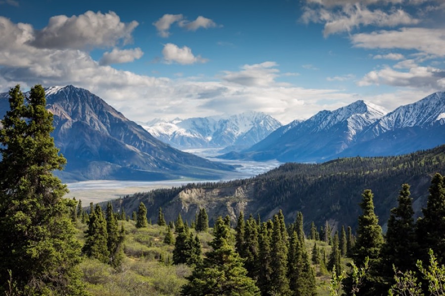
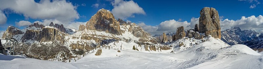
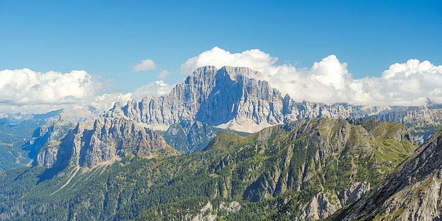
The king wears a crown of ice. Its name is Ortler, it measures 3,905 m and is South Tyrol's highest peak, and also the Eastern Alps' highest mountain outside the Bernina group. Until 1919 it was Austria-Hungary's highest point. And you'll circle it completely.
Ortler Höhenweg (Alta Via dell'Ortles) is no excursion. It's a circuit roughly 120 km long, split into seven stages, each taking six to nine hours on foot. You'll accumulate over 8,000 metres of climbing, that's like ascending Ben Nevis six times, with a pack and no cable car. The route circles Stelvio National Park, crossing from Vinschgau in South Tyrol into Lombardy's Valtellina and back. Start and finish: Passo dello Stelvio, the second-highest paved saddle in the Alps.
Terrain doesn't tread softly here. The first stage sends you down from Stelvio on the famous 48 serpentines, past remnants of military barracks. Because this isn't just landscape, it's a battlefield. The Ortles-Cevedale ridge was the First World War's highest front, the so-called White War: trenches, caverns and artillery above 3,000 m, in places climbed today with an ice axe. Barbed wire still lies in the rocks a century later. You walk through history, not around it.
The hardest section comes early. Stage two from the village of Stilfs to Düsseldorfer Hütte (2,720 m) dumps nearly 1,800 metres of climbing in one go, save your legs and humility for this. Day three is a ridge traverse across high saddles to Zufallhütte (Rifugio Nino Corsi, 2,294 m), where portions arrive that don't carry regret. Stage four is the circuit's crown: a glacier crossing to Rifugio Pizzini (2,457 m). Without a mountain guide, don't start here, crevasses forgive nothing and rope isn't decoration. Pizzini sits right on the old battle line.
Then the route crosses linguistic and regional borders into Lombardy, descends via Sant'Antonio in Valfurva (1,788 m) to the reservoir lakes Lago di Cancano (1,960 m), and the final stage hauls you back up onto Stelvio, another nearly 1,800 metres of gain to remind you it wasn't a stroll. The whole way you have the Ortler glacier group beside you, a massif holding roughly a hundred glacier remnants.
Who is this for? Fit high-altitude hikers with a head. Difficulty is high: long daily sections, large elevation gain, snow and ice even in summer, one stage requiring glacier equipment and a guide. A novice on the Höhenweg has no business here. Those with completed Alpine treks and ability to read weather will find one of the Alps' most raw and quiet circuits.
When to go? The season is short, July, August, September. Earlier, firn covers the saddles; later it hardens. Outside this window the glacier stage is a gamble.
How to book? You must book each hut separately and well in advance, Düsseldorfer Hütte, Zufallhütte, Rifugio Pizzini and others belong to mountain clubs and Italian rifugios, booked months ahead. Plan your stage dates, call or write the huts individually, and separately arrange a mountain guide for the glacier stage. Without reservations and without a guide on the glacier, don't bother coming.
Seven days circling the king. Up, onto ice, through WWI trenches, and back to the saddle you left. Ortler watches you the entire time from above. The question isn't whether you'll see it, but whether you'll keep pace.
Pick a start date, for every night on the route you instantly see the free beds and book directly through the official Alpenverein system.




 AT
AT DE
DE CH
CH EN
EN FR
FR IT
IT NL
NL SL
SL SK
SK CZ
CZ