Dead mountains.
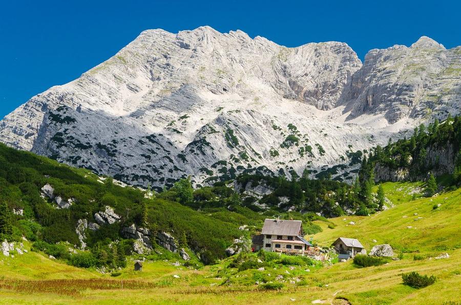
A name that sounds like a warning, and earned it honestly. Totes Gebirge is central Europe's largest karst plateau, over a thousand square kilometres of bare limestone. Water doesn't stay. It percolates through cracks, vanishes into caves, and above the tree line leaves only white stone plates locals call "Stoabreda." Hence the name: almost no green, almost no water. But silence deep enough to hear your own heartbeat.
And that's precisely why you come.
This loop begins and ends in Grünau im Almtal, officially Austria's "mountain village" (Bergsteigerdorf), a place that pledged to let mountains remain mountains. Over three days you'll gain roughly 1,800 metres and cover 28 km. Not a marathon in numbers. But demanding terrain: karst breaks, chains, ladders, exposure. A sure foot and calm mind here aren't suggestions, they're tickets.
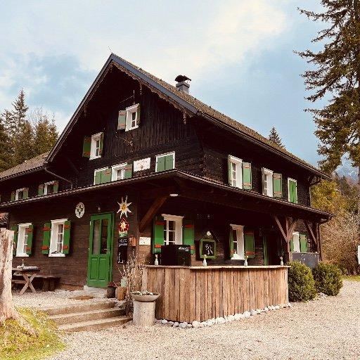
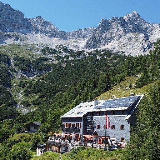
Day one is warm-up. From the Almtal valley you reach Almtaler Haus, an Alpenverein hut on the range's northeast edge. Low, comfortable, with Ödseen, mountain lakes, just beneath. Here you settle your pack and nerves. Tomorrow begins in earnest.
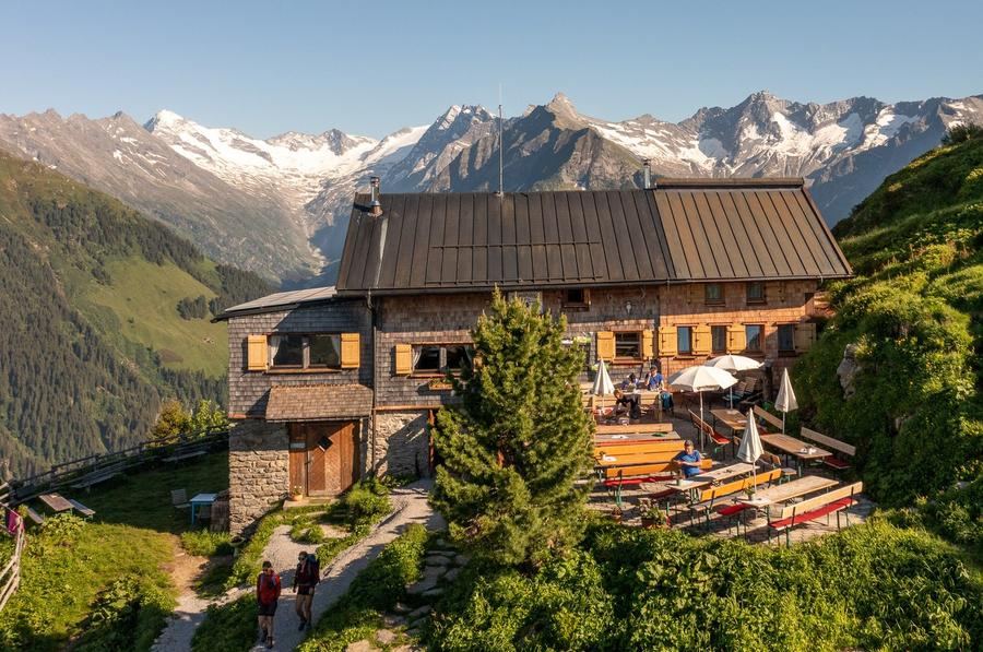
Day two is why you came. Climb onto the karst plateau, then the Sepp-Huber-Steig, a path partly secured with ladders that pulls you towards Röllsattel pass. Beyond it spreads Elmsee. A mountain lake amid stone, and right beside it Pühringer-Hütte, a small remote hut at roughly 1,637 m. Terrace, soup, lake view, and evening silence so deep it chills you. Romance, Alpine-style: no signal, no crowds, just you and the plateau.
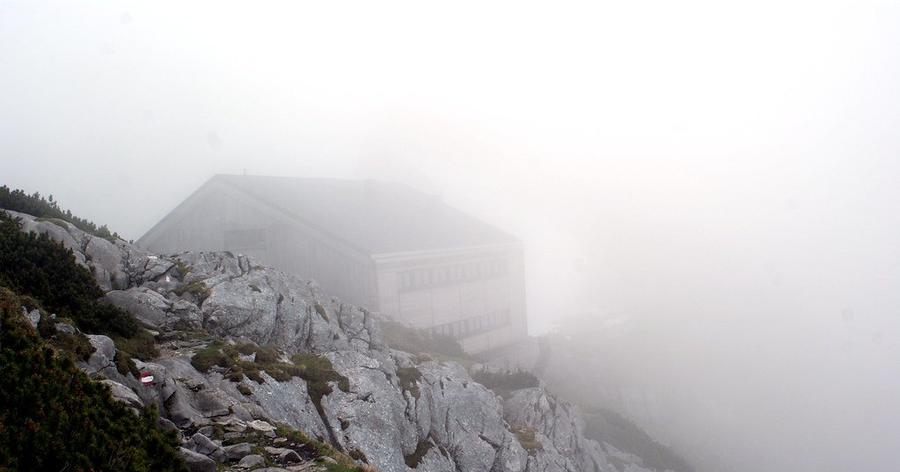
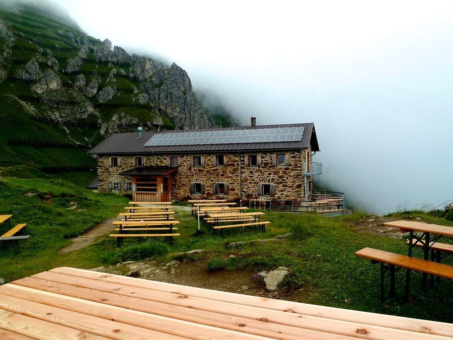
Day three brings you home. Traverse to Welser Hütte (1,726 m), standing directly below two giants, Großer Priel (2,515 m), the range's highest mountain, and Schermberg (2,396 m). Those with an extra day and legs still willing can attempt a summit push on Priel from here; Welser Hütte is its quickest base. The hut was built by the Wesel section of the Alpenverein, today's building already the fourth in sequence (earlier versions fell, one blown apart by storm in 1934), completely rebuilt in 2012. Then descent back into green Almtal, where forest finally welcomes you, and with it, the water the plateau kept hidden the whole time.
Who is this for? The experienced who want a high-altitude traverse without glacier technique, but with real solitude. Those hunting hut service and lifts should look elsewhere, the reward here is rawness. Those who read karst terrain and don't fear a ladder above a drop will get three days they won't forget.
When to go? The window is short. Almtaler Haus typically opens around May, Pühringer-Hütte from June through early October, Welser Hütte only from early June through mid-September. Real common window for the full loop is mid-June through mid-September. Outside it, snow blankets the plateau and huts shut.
How to book? All three are Alpenverein huts, arrange beds in advance, by phone or each hut's reservation system. Remote huts like Pühringer have tight capacity, and counting on "finding space" on a karst plateau is a bad gamble. Alpenverein membership pays: lower bed cost and, in emergency, mountain rescue insurance.
The Dead Mountains won't make it easy. No water, no shade, no signal.
But they will give silence, deep enough to hear why you came.
Pick a start date, for every night on the route you instantly see the free beds and book directly through the official Alpenverein system.




 AT
AT DE
DE CH
CH EN
EN FR
FR IT
IT NL
NL SL
SL SK
SK CZ
CZ