🇩🇪Germany · Bavarian / Tyrolean Alps

Tegernsee–Sterzing

Multi-day hut-to-hut trek across Alpenverein huts
Tegernsee–Sterzing
Easy Cross-border
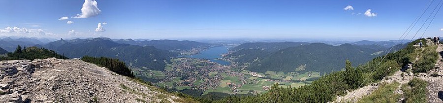
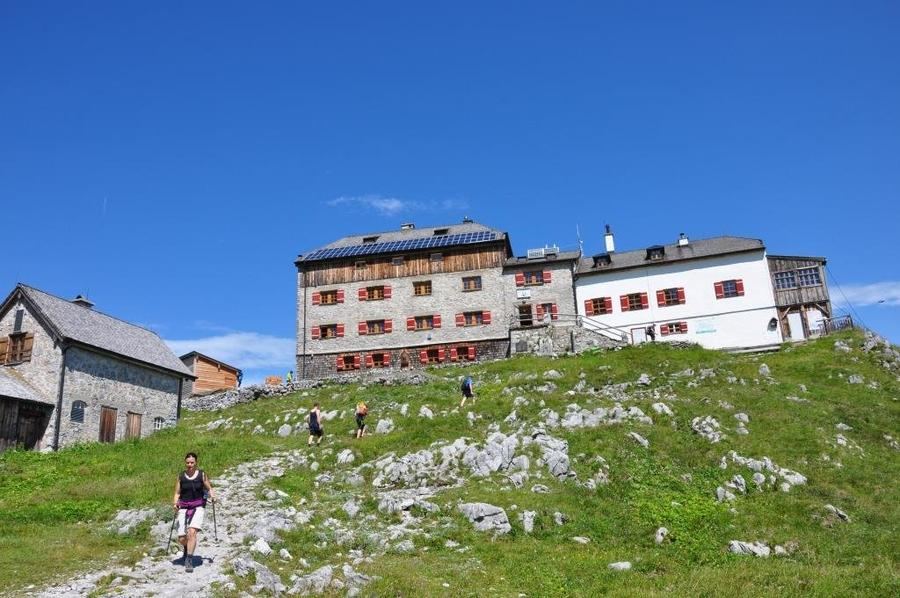
Diego Delso · CC BY-SA 4.0
160 km
Distance
+7,000 m
Ascent
7 days
Duration
0
Huts
Best time: July – September
Check hut availability →
Download GPX ↓

About the route

Highest point
1,800 m
Huts on the route
0 × hut
Terrain
High alpine
Best time
July – September

The route at a glance

Elevation profile
↑ 3,769 m ascent↓ 3,588 m descent149.8 km2,256 m summit
500140023000 km30 km60 km90 km120 km150 km
Line colour = gradient (green gentle → red steep). Dots = huts. Route: © OpenStreetMap (ODbL), elevations from mapy.com.
Route mapOpen full map ↗

Plan and book

Live availability · Alpenverein

Pick a start date — for every night on the route you instantly see the free beds and book directly through the official Alpenverein system.


Choose start date
How many staying overnight
1
„free" = beds for the whole group
MonTueWedThuFriSatSun
All huts freePartly freeSelected
Start · arrival
Tegernsee
◎ Plan arrival
Tegernsee
Before the start · lodging
Stay overnight in Tegernsee
Hotels and guesthouses in Tegernsee · Booking.com
Booking.com →
1
Day 1 · traverse to Wildbad Kreuth
↔ 10.9 km↑ 84 m↓ 57 m◷ 2–3 h

Start in Gmunden on Tegernsee's north shore, ascent along Tegernseer Höhenweg with lake views. Warm-up through Bavarian Mangfall Alps, one of the longer stages (around 20 km).

Wildbad Kreuth 730 m
Valley village · lodging via Booking.com
Booking.com →
2
Day 2 · traverse to Achenkirch
↔ 21.1 km↑ 244 m↓ 127 m◷ 6–7 h

Cross into Austria along Achensee — Tyrol's largest lake, deep to 133 m, called Tyrol's fjord for its tight shores. Its western shore runs only on foot or boat via the cable-secured Gaisalmsteig.

Achenkirch 929 m
Valley village · lodging via Booking.com
Booking.com →
3
Day 3 · traverse to Fügen
↔ 27.8 km↑ 165 m↓ 499 m◷ 7–8 h

Descent into Zillertal, one of Tyrol's hearts. Valley stage with traditional Tyrolean architecture and alpine meadows.

Fügen 580 m
Valley village · lodging via Booking.com
Booking.com →
4
Day 4 · traverse to Hochfügen
↔ 12.8 km↑ 891 m◷ 5–6 h

Cable car to Hochfügen and panoramic routes above tree line. First time you top 2,000 m — circled by edelweiss and alpine roses, with Tux Alps glacier views.

Hochfügen 1800 m
Valley village · lodging via Booking.com
Booking.com →
5
Day 5 · traverse to Mayrhofen
↔ 20.6 km↑ 732 m↓ 1562 m◷ 8–9 h

Traumpfad high above Zillertal to Mayrhofen, past ice-age moraines and glacial lakes. Glacier-carved rock and traditional mountain villages.

Mayrhofen 630 m
Valley village · lodging via Booking.com
Booking.com →
6
Day 6 · traverse to Schlegeis
↔ 25.3 km↑ 1174 m↓ 22 m◷ 9–10 h

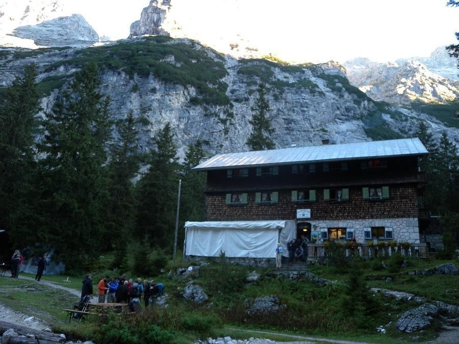
Royal stage: from turquoise Schlegeis reservoir (1,800 m) to Pfitscherjoch (2,246 m), crossing the alpine main ridge. Pfitscherjoch-Haus from 1888 stands on the Austria-Italy border, South Tyrol's oldest private hut.

Schlegeis 1800 m
Valley village · lodging via Booking.com
Booking.com →
Descent to the valley · Sterzing
From the last hut you descend to the valley village — approximate destination, lodging below.
Sterzing
After the trek · lodging
Rest up in Sterzing
Hotels and guesthouses in Sterzing · Booking.com
Booking.com →
Route alert
Want the whole route on one date?
Leave your e-mail. We’ll write as soon as every hut on the route lines up with no gaps — with the dates straight to your calendar.

What to pack

Sleeping bag liner
Sleeping bag liner
Required in huts
Browse at 4camping →
Hiking boots
Hiking boots
Ankle-high, category B–C
Browse at 4camping →
Waterproof jacket
Waterproof jacket
Hardshell, 3-layer
Browse at 4camping →
Backpack 30–40 l
Backpack 30–40 l
Multi-day, with rain cover
Browse at 4camping →
Trekking poles
Trekking poles
Foldable
Browse at 4camping →
Headlamp
Headlamp
Rechargeable
Browse at 4camping →
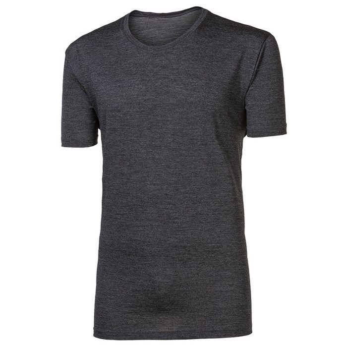
Layered clothing
Layered clothing
Merino + fleece
Browse at 4camping →
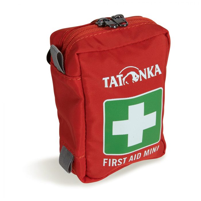
First-aid kit
First-aid kit
+ emergency blanket
Browse at 4camping →

Handy before you go

tips from verified partners
View on GetYourGuide
Partner · experiences
Tours and activities nearby
Guided tours, via ferratas and trips around Tegernsee — book online.
View on GetYourGuide →
Get Revolut
Partner · payments
No foreign-currency fees
A card for fee-free payments and withdrawals along the whole route — exchange rate with no markup.
Get Revolut →
Buy an eSIM on Airalo
Partner · connectivity
eSIM data in the Alps
Mobile data without roaming for the whole trek, activated in a minute.
Buy an eSIM on Airalo →

Frequently asked questions

How long is the Tegernsee–Sterzing crossing and how many days?+
Roughly 115 km split into seven daily stages — seven days of hiking. Total elevation gain is around 3,500 m. Official sources put actual hiking distance at 100–110 km since some sections use transport.
How difficult is the route? Can a beginner manage it?+
Yes. It's designed as light to moderate and considered one of the Alps' most welcoming crossings. Daily elevation gain never tops 1,000 m and you don't need alpine experience. Just fitness for six hours daily.
Do you sleep in alpine huts or hotels?+
Mostly in hotels, pensions and inns right in valley towns — that's the whole point of this route. The one real alpine hut is Pfitscherjoch-Haus on the saddle during day six.
Which route and countries does it go through?+
North to south via three countries: from Bavarian Gmunden at Tegernsee via Austrian Achensee and Zillertal to South Tyrolean Sterzing. You pass Karwendel, Zillertal Alps and South Tyrol's Pfitschtal.
What is the highest point?+
Pfitscherjoch saddle at 2,246 m. Here you cross the alpine main ridge right on the Austria-Italy border. It's also day six's big push from Schlegeis reservoir.
When is best time for the crossing?+
Mid-June through early October. Above 2,000 m snow lingers and some valley lodging opens late in the season. Outside this window you risk closed inns and residual snow on the saddle.
Do I have to climb via ferrata or belay?+
No. No secured via ferrata anywhere on the route. The only exposed spot is Gaisalmsteig on Achensee's western shore — a narrow cable-secured trail that wants sure feet, not climbing gear.
How do I book lodging? Do I need Alpenverein?+
This isn't a classic Alpenverein trail. Valley hotels and pensions you book yourself or take as an organized package with luggage transport. Alpenverein membership only helps at Pfitscherjoch-Haus, giving discounts.
What is the Gaisalmsteig and is it risky?+
A narrow trail along Achensee's rocky western shore, cable-secured in places. The west shore of Tyrol's largest lake is walkable only on foot or boat. Not dangerous but needs sure feet and comfort above water — wet rocks are slippery.
What is special about Pfitscherjoch-Haus?+
It's South Tyrol's oldest private alpine hut. Built 1888 by Alois Rainer, the fifth generation of his family still runs it. Sits right on the Austria-Italy border at Pfitscherjoch saddle.
Why does the route end in Sterzing?+
Sterzing is Italy's northernmost town and a Gothic gem in South Tyrol. City rights came 1280 and it grew rich as a goods hub on the Brenner route. Historic center with arcades and tower Zwölferturm await.
Which segments use transport?+
Five shorter sections use bus, historic railway, boat or cable car — like the lift to Hochfügen or bus to Schlegeis reservoir. This is why actual hiking distance is lower than total route distance.
How much daily elevation gain?+
Daily elevation gain never tops 1,000 m — that's the key to why the route is welcoming. Longest stages are the first and last (around 20 and 22 km); other days tend to be shorter.

Similar routes

Show all routes →
Zugspitze Three-Day CircuitModerate
Zugspitze Three-Day Circuit
Wetterstein
22 km3 days
Watzmann CircuitModerate
Watzmann Circuit
Berchtesgaden Alps
53 km3-4 days
Heilbronner WegHard
Heilbronner Weg
Allgäu Alps
45 km2-3 days