One lake that didn't exist three hundred years ago. One mountain that the entire loop circles. And five days where you dip to lower elevations only briefly, otherwise you stay high, on the border between Vaud and Valais cantons.
Tour des Muverans circles Grand Muveran (3,051 m). It's the westernmost three-thousand-metre peak of the Berner Oberland and the highest summit of the Muverans group, sitting exactly on the cantonal border above the Rhône valley. You don't take it. You circle it, and from each pass you see it from a different angle. That's the whole trick: the mountain stays in the centre, you rotate around it like a hand on a clock.
By the numbers: around sixty kilometres, over five thousand metres climbed, five days, starting and finishing in Ovronnaz. Difficulty: hard, and it means it. The path stays mostly above two thousand metres; technical sections are marked T3 and in exposed places cables and chains hang. It's not a ridge hike for Sunday walkers. It's a loop for people who can carry themselves six hours daily and won't wobble when the path drops away.
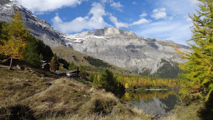
Terrain breaks each day. Up top: scree, stone slopes and cliffs under Muveran walls. Below: green meadows and one of Switzerland's strangest landscapes: Derborence. Remember this name. Lac de Derborence is the Alps' youngest natural lake, born when the Diablerets massif collapsed, twice in 1714 and 1749, releasing over fifty million cubic metres of rock that buried the valley. The first collapse killed fourteen or fifteen people and a herd of cattle. Water then blocked behind that rock barrier and made a lake. A fifty-hectare primeval forest then grew on the rubble, one of Switzerland's last original forests, now a protected zone. Writer C.-F. Ramuz captured the catastrophe in his 1934 novel Derborence. You walk through that place on foot.
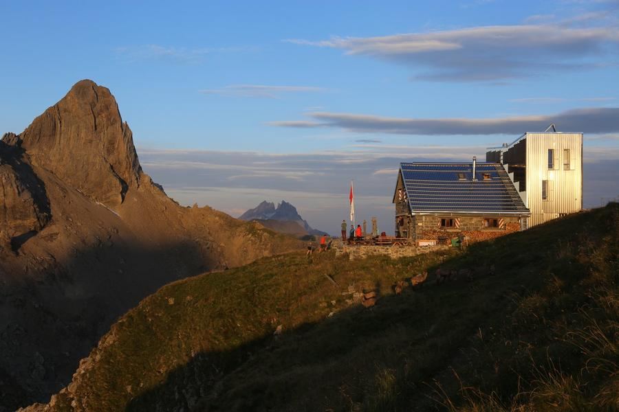
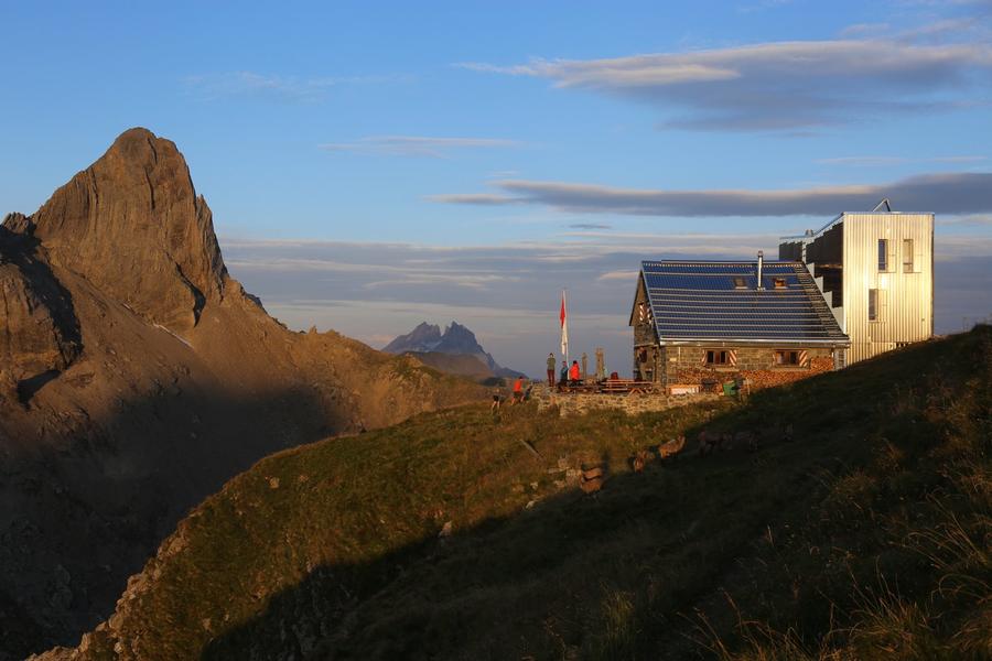
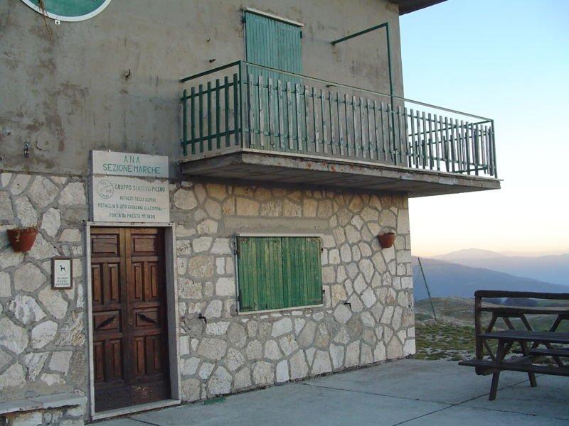
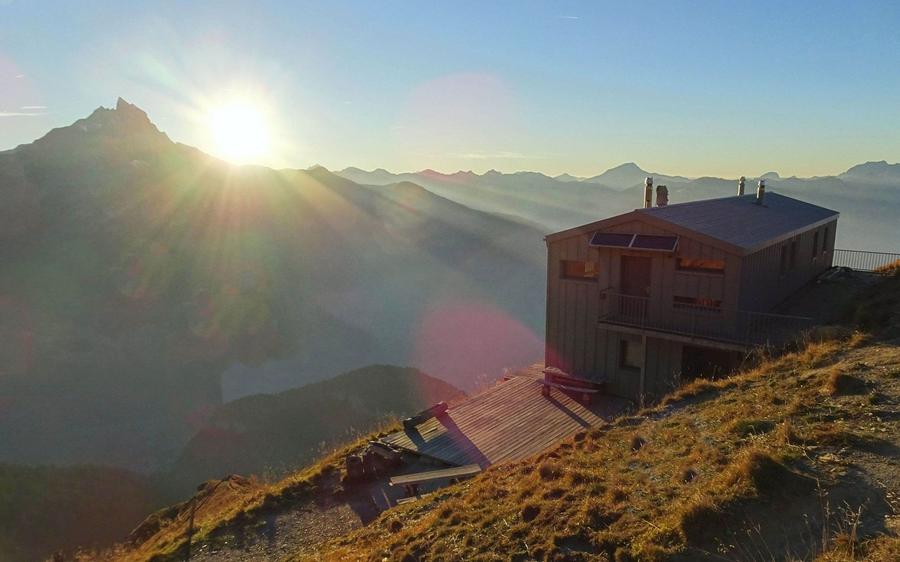
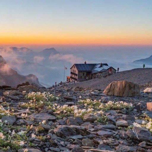
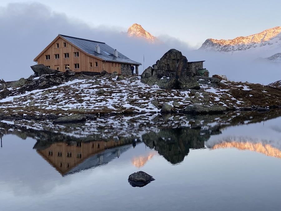
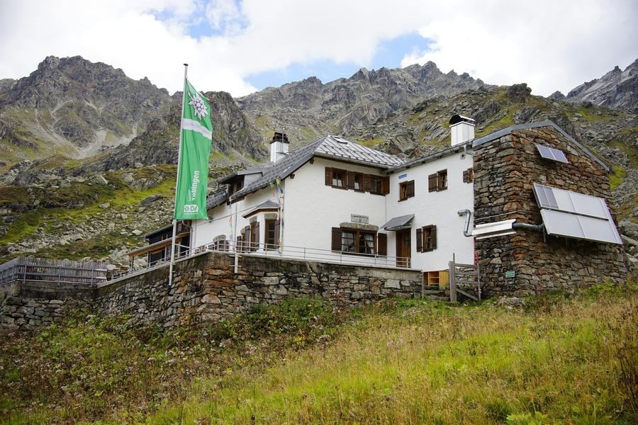
Stages and huts are the loop's backbone. Night one goes to Cabane Rambert (2,582 m), a stone house of the Diablerets section of CAS with red-and-white shutters, a panoramic window and thirty-eight beds. Its position is the whole point: views run from Mont Blanc across the Valais Alps to Mönch, down to the Rhône valley and across to the jagged Dents du Midi. Night two waits at Refuge du lac de Derborence, right in that collapsed-mountain landscape. Day three is a transit day, you descend from high into alpine meadows to Refuge Giacomini. Night four goes to Cabane de la Tourche (2,198 m), the last high hut before the loop closes back to Ovronnaz.
Who is it for? Experienced trekkers who've already done hut-to-hut routes and don't mind secured sections or long descents. Families with small children and total beginners should look for gentler loops, here cables and exposure are reality, not decoration. If you feel at home on T3 terrain and enjoy the view rotating one segment further with each day, this five-day circuit around a three-thousand-metre peak is your game.
When to go? Best window is mid-July through late August, when slopes lack snow and huts run full service. September works too, but days get short, the cold bites, and watch hut hours, season breaks quickly.
How to book? The Swiss Alpine Association (CAS/SAC) huts book in advance, each one separately, Cabane Rambert through the Diablerets section of CAS, others through their managers. High season means full; don't expect a bed to open up on site. Write, call, confirm.
The mountain stays standing in the centre. The lake born from chaos will keep lying below Diablerets. The question is only which angle you'll view it from.
Pick a start date, for every night on the route you instantly see the free beds and book directly through the official Alpenverein system.




 AT
AT DE
DE CH
CH EN
EN FR
FR IT
IT NL
NL SL
SL SK
SK CZ
CZ