Germany's highest point stands 2,962 metres, with a golden cross on the eastern summit and queues of tourists who rode the cable car in under nine minutes. You will reach it differently. On foot, through Reintal valley, along a trail blazed in August 1820 by Lieutenant Josef Naus on the first-ever ascent of Zugspitze, only you will have better boots and a warm soup waiting at the hut at day's end.
Zugspitze Wochenend-Rundtour is 42 kilometres and 2,270 metres of elevation gain spread over two to three days. Moderate difficulty, no via ferrata, no drama with rope work, yet it brings you to the base of Germany's highest peak and to its largest glacier. This is classic Wetterstein: the gentlest route to the top, the one that also guides beginners. But do not mistake it for a walk in the park.
Start and finish: Garmisch-Partenkirchen. Just past the ski stadium, you are swallowed by Partnachklamm, a gorge over 700 metres long, carved 80 metres deep into rock by the wild Partnach. Water has chiselled it for millions of years; since the 18th century, loggers have floated timber through it down to Partenkirchen. You will pass through dry-footed on a gallery carved above the churning Partnach.
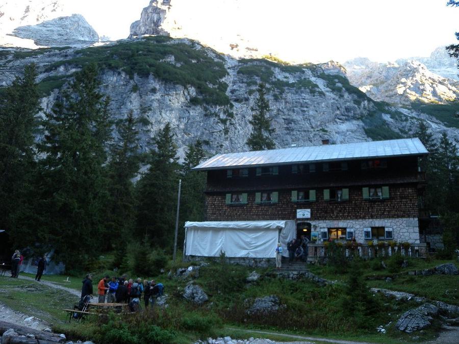
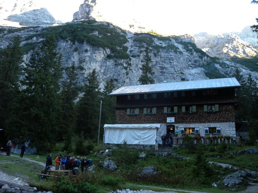
The first stage climbs gently through Reintal valley to Reintalangerhütte (1,370 m). Since 2022, it is Germany's first bio-hut, the country's first eco-conscious mountain shelter, with its own small hydroelectric plant on the Partnach spring and food from the region. The original timber building from 1881 still stands as a winter room. And here after his historic ascent, Naus spent the night.
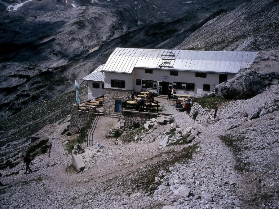
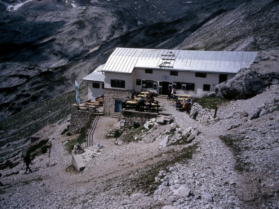
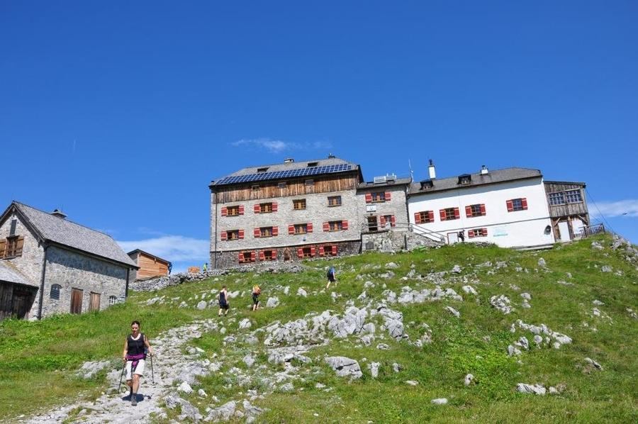
The second day the valley rises. Over alpine meadows and scree fields you climb to Knorrhütte (2,051 m), the final outpost below the summit plateau. From here Zugspitze is within reach: those with strength and time detour towards Zugspitzplatt to the summit with its golden cross, around Höllentalferner and Schneeferner, the last great glacier on the German side, thinning visibly each summer.
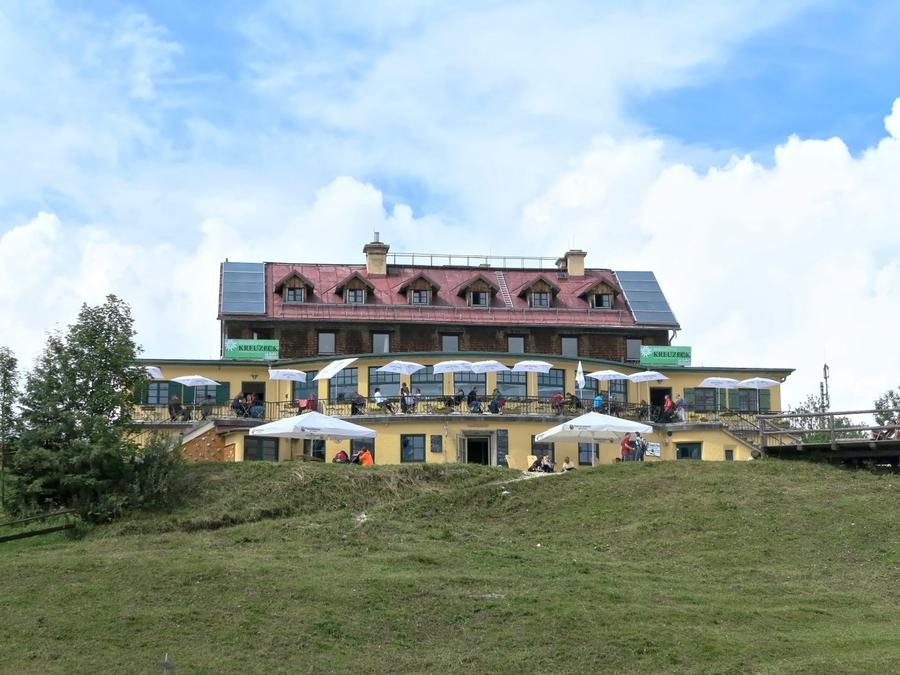
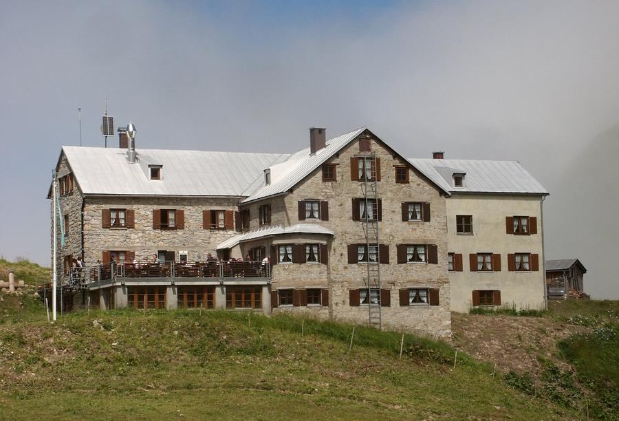
The third day belongs to descent and views. You swing around the Zugspitzplatt to Kreuzeckhaus (1,652 m), an Alpenverein hut that has welcomed guests since 1906, directly across from the slender Alpspitze. From the hut runs Kreuzeckbahn, a cable car that has carried people since 1926, and it will lower you comfortably back to the valley. Your legs will thank you.
For whom is this? For fit hikers who want to glimpse Germany's roof without climbing or rope work, but with a serious backpack and fitness for over 2,000 metres of elevation. This is not a trek for absolute beginners, rocky terrain and long daily stages demand certain footing and mountain sense.
When to go? Summer through early autumn, roughly June to October, when huts operate and Zugspitzplatt has no continuous snow. Outside season, huts are closed and the terrain above Knorrhütte can be treacherous.
How to reserve? Through Deutscher Alpenverein. Reintalangerhütte, Knorrhütte, and Kreuzeckhaus are all DAV huts, book your bed in advance via the Alpenverein reservation system, and do not delay on weekends during peak season. Alpenverein membership also lowers hut rates.
Zugspitze on foot, not by cable car. Naus needed courage and a day's climb upward. You have a map, a bio-hut, and one weekend. So, will you walk through that gorge, or will you wait in line at the cable car office?
Pick a start date, for every night on the route you instantly see the free beds and book directly through the official Alpenverein system.




 AT
AT DE
DE CH
CH EN
EN FR
FR IT
IT NL
NL SL
SL SK
SK CZ
CZ