Above the chapel of St. Bartholomä rises a wall. Not rock, a wall. Watzmann-Ostwand, eighteen hundred metres straight up, the highest east face in the Eastern Alps. You stand at the emerald water of Königssee, which you can only reach by boat, crane your head back, and the summit disappears. Welcome to Berchtesgaden.
The Berchtesgaden Hüttentour is a circuit around the Watzmann massif (2,713 m), Germany's third-highest mountain. Four days. Forty-five kilometres. Over three thousand metres of climbing. You start in Schönau am Königssee, and you'll return there, but in between you circle the mountain and pass through four completely different worlds. Alpine lake valley. White sea of scree. Limestone plateau. And finally a boat.
This isn't a ridge walk for the views. It's a circuit that leads you AROUND the mountain and through its interior. Every day different terrain, different mood, different hut.
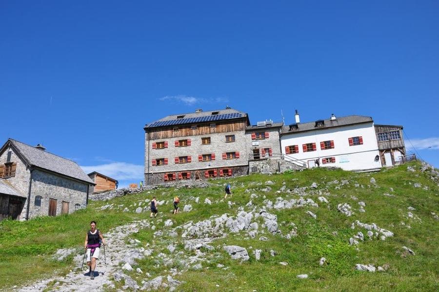
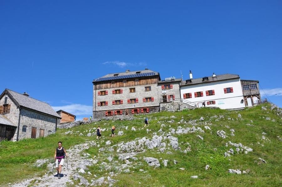
Day one leads from Königssee up into alpine pastures towards Watzmannhaus (1,930 m). The hut has stood on Falzköpfl below the Hocheck summit since 1888, the Munich section built it originally for twenty-five people. Today it has over two hundred beds and ranks among the largest and most visited Alpenverein (DAV) huts anywhere. Base camp for Watzmann, an oasis with hot soup above the precipice.
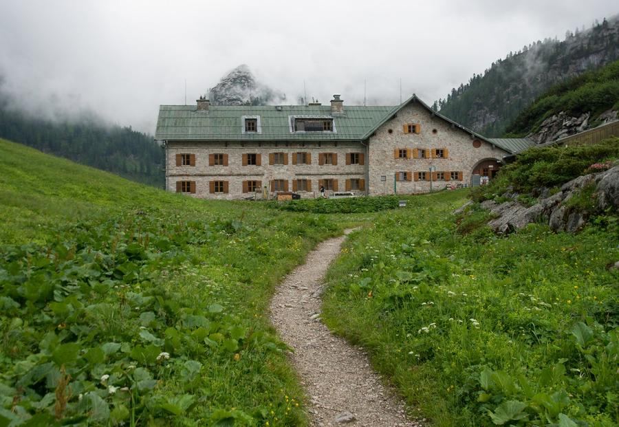
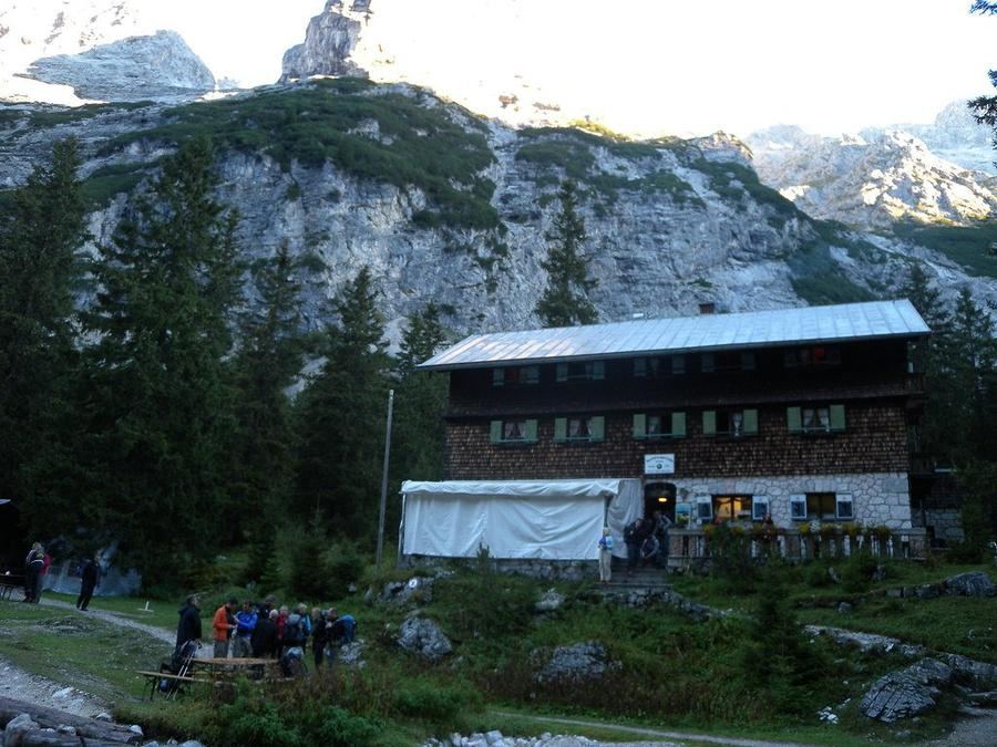
Day two drops down. Descent into Wimbachgries, a vast valley filled with white scree, hemmed in from two sides by Berchtesgaden's highest peaks: Watzmann to the east and Hochkalter (2,607 m) to the west. Stone avalanches, scree fans, in places not a blade of grass. Wimbachgrieshütte (1,327 m) is the lowest point of the entire tour, and also the rawest setting.
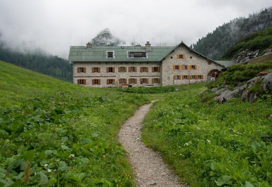
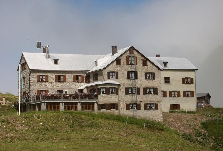
Day three is the king. Crossing the Steinerne Meer, 'Stone Sea', a karst high-altitude plateau like another planet, with the Trischübel-Pass saddle and descent to Kärlingerhaus (1,631 m). The hut sits by Funtensee, and Funtensee has a distinction you won't find elsewhere: on 24 December 2001, −45.9 °C was recorded here. Germany's coldest temperature ever. Cold air pools in the basin with nowhere to escape, creating an inverted tree line, a few dozen metres above the lake trees grow again, below they don't. You sleep near the country's most frigid place.
Day four sends you home. Descent via the serpentines of Saugasse, past the Schrainbachfall waterfall down to St. Bartholomä. And here comes the reward: a pilgrimage chapel with wine-red onion domes, founded in 1134, directly beneath that immense Watzmann-Ostwand. From here a boat across Königssee back to Schönau. Since 1909, only electric boats have sailed the lake, one of the world's first ecological measures for tourism. The captain blasts a horn at the Echowall on the way, and the echo comes back seven times. Germany's clearest lake plays farewell.
Who is this for? For fit hikers with sound hearts and knees. The difficulty is moderate, no via ferrata, no securing, but long descents, unstable scree fields and a demanding Steinerne Meer crossing await. A mountain novice has no place here; an experienced multi-day hiker will fall in love.
When to go? Summer and early autumn, when the huts are open and high passes are snow-free, roughly June to September. Outside season, only the winter room is available.
How to book? Watzmannhaus, Wimbachgrieshütte and Kärlingerhaus are Alpenverein huts, book beds in advance through the DAV online reservation system. In high season this isn't a recommendation, it's a necessity: capacity, especially at Watzmannhaus, vanishes weeks ahead.
Four huts, four worlds, one mountain in the middle. Enter from the lake, exit from the lake, and between them Watzmann runs you through scree, karst and frost. Who said a circuit is just a return to the start?
Pick a start date, for every night on the route you instantly see the free beds and book directly through the official Alpenverein system.




 AT
AT DE
DE CH
CH EN
EN FR
FR IT
IT NL
NL SL
SL SK
SK CZ
CZ